Near Dime Box in Burleson County, Texas — The American South (West South Central)
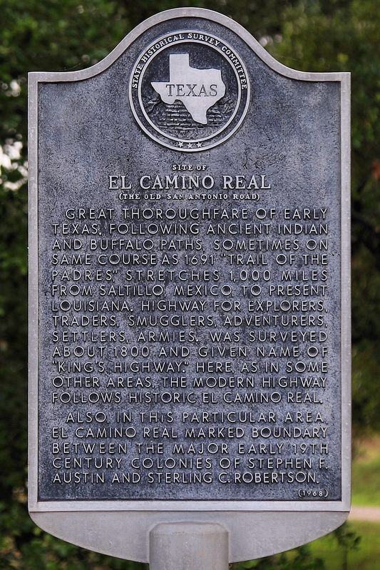
Site of El Camino Real
(The Old San Antonio Road)
Also, in this particular area, El Camino Real marked boundary between the major early 19th century colonies of Stephen F. Austin and Sterling C. Robertson.
Erected 1968 by State Historical Survey Committee. (Marker Number 7570.)
Topics. This historical marker is listed in this topic list: Roads & Vehicles. A significant historical year for this entry is 1691.
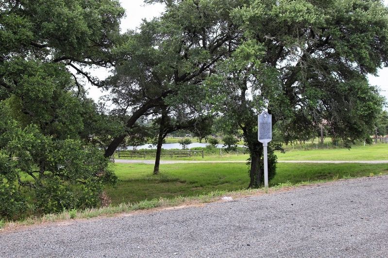
Location. 30° 24.862′ N, 96° 48.614′ W. Marker is near Dime Box, Texas, in Burleson County. Marker is on State Highway 21, 0.3 miles south of County Road 145, on the right when traveling east. Touch for map. Marker is in this post office area: Dime Box TX 77853, United States of America. Touch for directions.
Other nearby markers. At least 8 other markers are within 10 miles of this marker, measured as the crow flies. Kings Highway Camino Real — Old San Antonio Road (approx. 0.8 miles away); a different marker also named Kings Highway Camino Real — Old San Antonio Road (approx. 1.6 miles away); Chisholm Cattle Trail (approx. 1.7 miles away); Deanville (approx. 3.6 miles away); St. John's Lutheran Church (approx. 3.6 miles away); a different marker also named Kings Highway Camino Real — Old San Antonio Road (approx. 4.7 miles away); a different marker also named Kings Highway Camino Real — Old San Antonio Road (approx. 4.9 miles away); Frenstat Cemetery (approx. 9.4 miles away).
Also see . . . El Camino Real de los Tejas National Historic Trail. (Submitted on June 24, 2019, by Larry D. Moore of Del Valle, Texas.)
Credits. This page was last revised on July 2, 2021. It was originally submitted on June 24, 2019, by Larry D. Moore of Del Valle, Texas. This page has been viewed 813 times since then and 178 times this year. Last updated on July 2, 2021, by Keith Peterson of Cedar Park, Texas. Photos: 1, 2. submitted on June 24, 2019, by Larry D. Moore of Del Valle, Texas. • J. Makali Bruton was the editor who published this page.

