North Lewisburg in Champaign County, Ohio — The American Midwest (Great Lakes)
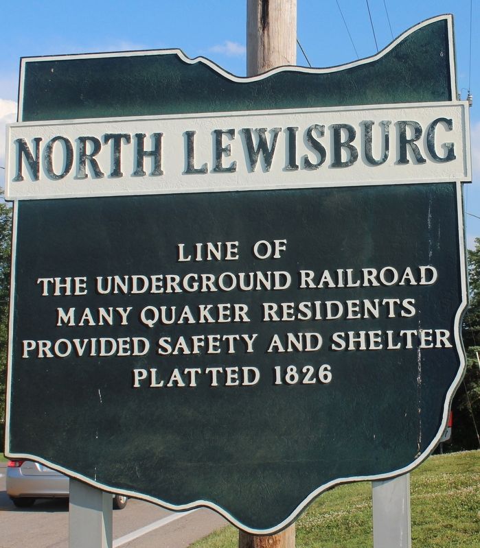
North Lewisburg
Line of the Underground Railroad. Many Quaker residents provided safety and shelter. Platted 1826.
Erected by Ohio Historical Society, Ohio Department of Transportation and Ohio Bicentennial Commission.
Topics and series. This historical marker is listed in these topic lists: Abolition & Underground RR • African Americans • Churches & Religion • Settlements & Settlers. In addition, it is included in the Ohio Historical Society / The Ohio History Connection, and the Quakerism series lists. A significant historical year for this entry is 1826.
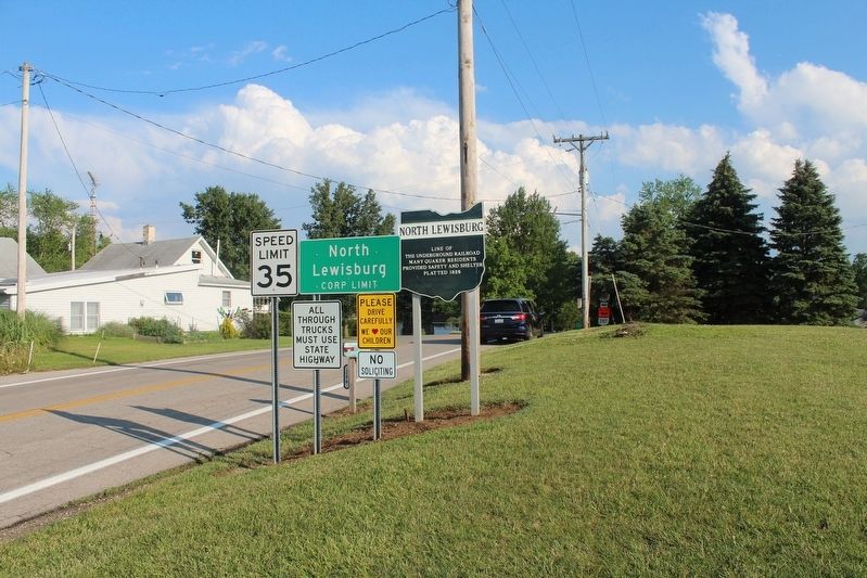
Location. 40° 13.754′ N, 83° 33.546′ W. Marker is in North Lewisburg, Ohio, in Champaign County. Marker is on Winder Street (Ohio Route 559) 0.1 miles north of North Street (Ohio Route 559), on the right when traveling south. Touch for map. Marker is at or near this postal address: 286 Winder St, North Lewisburg OH 43060, United States of America. Touch for directions.
Other nearby markers. At least 8 other markers are within 5 miles of this marker, measured as the crow flies. Friends Church / Friends Cemetery (about 600 feet away, measured in a direct line); North Lewisburg Fire Bell (approx. half a mile away); North Lewisburg, O. Service Flag (approx. half a mile away); North Lewisburg, Ohio Veterans Memorial (approx. 1.2 miles away); Pottersburg Bridge (approx. 1.8 miles away); Spain Creek Covered Bridge (approx. 1.9 miles away); Christopher Crary (approx. 3.3 miles away); Cushman Monument (approx. 4.1 miles away). Touch for a list and map of all markers in North Lewisburg.
Also see . . .
1. North Lewisburg, Ohio. Wikipedia entry (Submitted on June 20, 2022, by Larry Gertner of New York, New York.)
2. Underground Railroad station near North Lewisburg. Ohio History Connection website entry:
Photograph showing a house that was used as station on the Underground Railroad. The description on the back of the photograph reads: "One of the Winder Houses north of North Lewisburg where slaves were harbored [sic]." The Underground Railroad was a system of safe houses and hiding places that helped fugitive slaves escape to freedom in the northern United States or across the border in Canada. (Submitted on July 3, 2021, by Robert Baughman of Bellefontaine, Ohio.)
Credits. This page was last revised on June 20, 2022. It was originally submitted on July 3, 2021, by Robert Baughman of Bellefontaine, Ohio. This page has been viewed 281 times since then and 47 times this year. Photos: 1, 2. submitted on July 3, 2021, by Robert Baughman of Bellefontaine, Ohio. • Devry Becker Jones was the editor who published this page.

