Near Warsaw in Richmond County, Virginia — The American South (Mid-Atlantic)
The Terraces
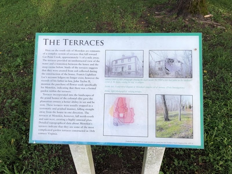
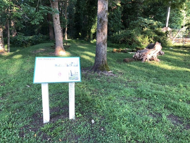
Here on the south side of Menokin are remnants of a complex system of terraces that fall toward Cat Point Creek, approximately ¼ of a mile away. The terraces provided an unobstructed view of the water and a transition between the house and the steep ravine below. Study of the terraces suggests that they were created from soil collected during the construction of the house. Francis Lightfoot Lee's account ledgers no longer exist, however the records of his father-in-law, John Tayloe II, mention the purchase of flower seeds specifically for Menokin, indicating that there was a formal garden within the terraces.
Terraces incorporated into the landscapes of the grand homes of colonial elite gave the plantation owners a better ability to see and be seen. These terraces were usually stepped in a systematic and gradual manner, falling straight away from the house in one direction. The terraces at Menokin, however, fall north-south and east-west, creating a highly unusual plan. Detailed topographical data about Menokin's terraces indicate that they are some of the most garden terraces constructed in the 18th century.
Topics.
this page online
Location. 38° 0.488′ N, 76° 48.212′ W. Marker is near Warsaw, Virginia, in Richmond County. It can be reached from Menokin Road (Virginia Route 690) 1.9 miles Piney Grove Road ( Route 637), on the right when traveling south. Touch for map. Marker is at or near this postal address: 4037 Menokin Rd, Warsaw VA 22572, United States of America. Touch for directions.

Regionally, this marker is on the Northern Neck. It is also in the American South, specifically in the Upper South, in the Tidewater, in the Chesapeake Bay Region, and on the Eastern Seaboard. Globally, it is in the North Atlantic Region, North America, the Western Hemisphere, the Western World, and the Anglosphere. Historically, it finds itself in what was once the territory of the Mississippian Culture, one of the original Thirteen Colonies, one of the Confederate States of America, and the Antebellum South.
Other nearby markers. At least 8 other markers are within 4 miles of this marker, measured
Another marker is no longer nearby. Exterior Design (was within shouting distance of this marker but has been confirmed missing).
Credits. This page was last revised on July 5, 2021. It was originally submitted on July 5, 2021, by Devry Becker Jones of Washington, District of Columbia. This page has been viewed 232 times since then and 19 times this year. Photos: 1, 2. submitted on July 5, 2021, by Devry Becker Jones of Washington, District of Columbia.
