Bethesda in Montgomery County, Maryland — The American Northeast (Mid-Atlantic)
Battery Bailey
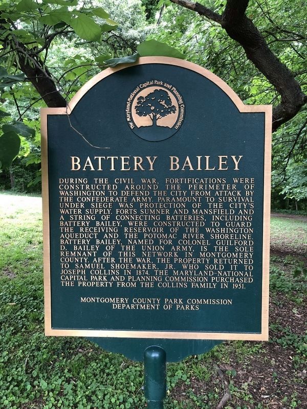
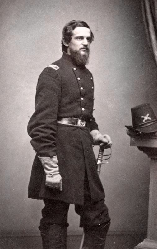
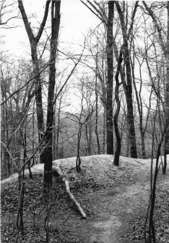
During the Civil War, fortifications were constructed around the perimeter of Washington to defend the city from attack by the Confederate Army. Paramount to survival under siege was protection of the city's water supply. Forts Sumner and Mansfield and a string of connecting batteries, including Battery Bailey, were constructed to guard the receiving reservoir of the Washington aqueduct and the Potomac River shoreline. Battery Bailey, named for Colonel Guilford D. Bailey of the Union Army, is the sole remnant of this network in Montgomery County. After the war, the property returned to Samuel Shoemaker, Jr. who sold it to Joseph Collins in 1874. The National Capital Park and Planning Commission purchased the property from the Collins family in 1951.
Erected by Montgomery County Park Commission, Department of Parks.
Topics and series. This historical marker is listed in these topic lists: Forts and Castles • War, US Civil. In addition, it is included in the Defenses of Washington series list. A significant historical year for this entry is 1874.
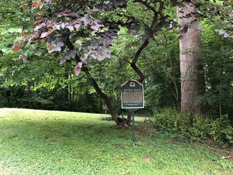
Location. 38° 57.131′ N, 77° 6.568′ W. Marker is in Bethesda, Maryland, in Montgomery County. Marker is on Elliott Road, 0.4 miles west of Ashfield Road, on the right when traveling west. Elliott Road ends at the entrance to Westmoreland Hills Community Park, and the marker is at the north edge of the parking area, just south of the restored earthworks. Elliott Road is accessible from Massachusetts Avenue (Maryland Route 396) via Duvall Drive in southern Bethesda, a few blocks northwest of Western Avenue/Dalecarlia Resevoir Parkway, Northwest, across the District of Columbia border. Touch for map. Marker is at or near this postal address: 5315 Elliott Road, Bethesda MD 20816, United States of America. Touch for directions.
Other nearby markers. At least 8 other markers are within walking distance of this marker. Col. Guilford Dudley Bailey (a few steps from this marker); What is a Battery? (within shouting distance of this marker); Artist's Conception of Battery Bailey, Circa 1862 (within shouting distance of this marker); Defending the City of Washington (within shouting distance of this marker); Loughborough Mill (approx. half a mile away); Original Federal Boundary Stone, District of Columbia, Northwest 5 (approx. half a mile away); a different marker also named Loughborough Mill (approx. half a mile away); The Dalecarlia Tunnel (approx. 0.7 miles away). Touch for a list and map of all markers in Bethesda.
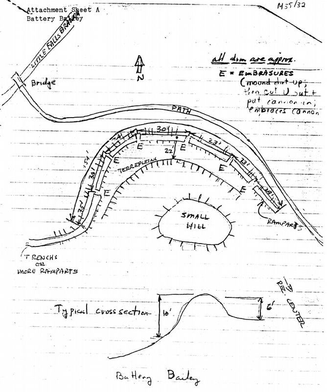
Also see . . . Battery Bailey. ACHS form PDF (Submitted on February 7, 2020, by Allen C. Browne of Silver Spring, Maryland.)
Additional commentary.
1. Battery Bailey
From
Battery Bailey linked with Battery Benson to cover the Powder Mill Branch valley, and the rear of Fort Sumner. Six platforms supported field guns or possibly siege guns.
— Submitted April 5, 2009, by Craig Swain of Leesburg, Virginia.
Credits. This page was last revised on February 25, 2024. It was originally submitted on April 4, 2009, by Richard E. Miller of Oxon Hill, Maryland. This page has been viewed 2,341 times since then and 58 times this year. Photos: 1, 2. submitted on June 4, 2021, by Devry Becker Jones of Washington, District of Columbia. 3. submitted on February 6, 2020, by Allen C. Browne of Silver Spring, Maryland. 4, 5. submitted on February 7, 2020, by Allen C. Browne of Silver Spring, Maryland. • Craig Swain was the editor who published this page.
