Cold Spring in Jefferson County, Wisconsin — The American Midwest (Great Lakes)
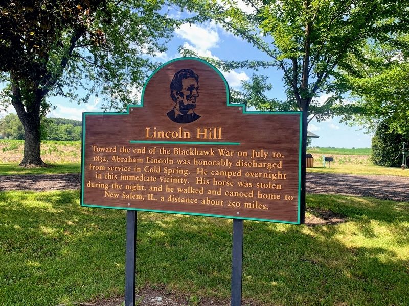
Lincoln Hill
Photographed by Devon Polzar, 2021
1. Lincoln Hill Marker
Topics. This historical marker is listed in this topic list: Wars, US Indian. A significant historical date for this entry is July 10, 1832.
Location. 42° 53.621′ N, 88° 46.576′ W. Marker is in Cold Spring, Wisconsin, in Jefferson County. It is on County Road N south of Gillis Road, on the right when traveling south. Located in Cold Spring Creamery Park. Touch for map. Marker is at or near this postal address: N1501 County Road N, Fort Atkinson WI 53538, United States of America. Touch for directions.

Regionally, this marker is in Southeast Wisconsin and in Greater Madison. It is also in the American Midwest and in the Corn Belt. Globally, it is in North America, the Western Hemisphere, the Western World, and the Anglosphere. Historically, it finds itself in what was once the territory of the Mississippian Culture and also the Northwest
this page online
Other nearby markers. At least 8 other markers are within 5 miles of this marker, measured as the crow flies: Cold Spring Historical Marker (about 800 feet away, measured in a direct line); Black Hawk War Encampment (approx. 1.4 miles away); Fort Koshkonong (approx. 3.6 miles away); Panther Intaglio (approx. 4½ miles away); Whitewater Historical Society Depot Museum (approx. 4.8 miles away); Whitewater Passenger Depot (approx. 4.8 miles away); Stone Stable (approx. 4.8 miles away); Revolutionary War Veterans (approx. 4.9 miles away).
Photographed by Devon Polzar, 2021
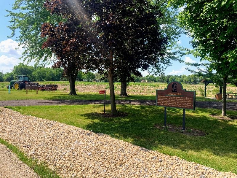
2. Lincoln Hill Marker
Photographed by Devon Polzar, 2021
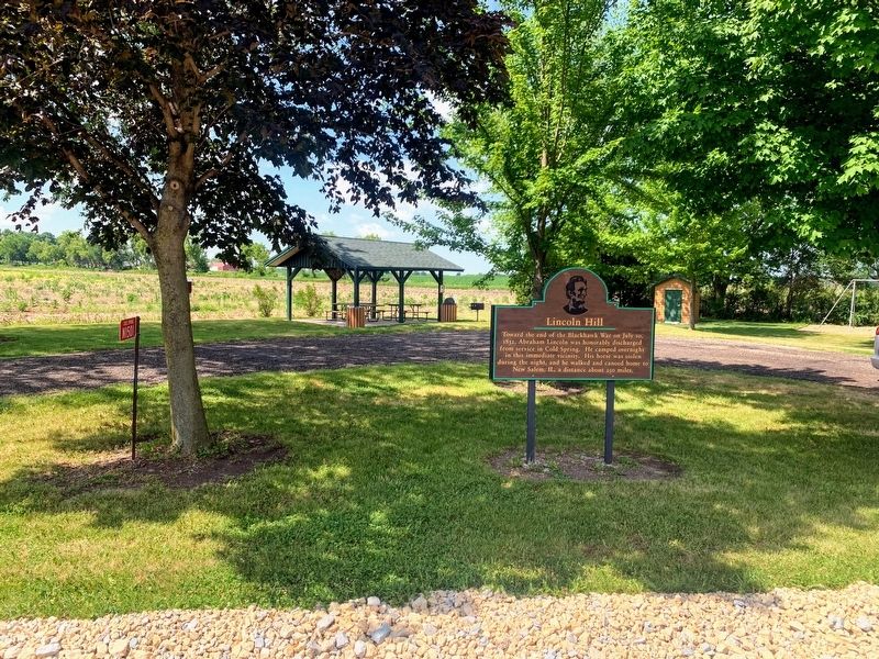
3. Lincoln Hill Marker
Credits. This page was last revised on July 6, 2021. It was originally submitted on July 5, 2021, by Devon Polzar of Port Washington, Wisconsin. This page has been viewed 1,558 times since then and 160 times this year. Photos: 1, 2, 3. submitted on July 5, 2021, by Devon Polzar of Port Washington, Wisconsin. • Mark Hilton was the editor who published this page.
