James Monroe's Virginia Legacy
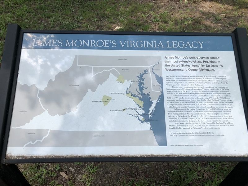
James Monroe's public service career, the most extensive of any President of the United States, took him far from his Westmoreland County birthplace.
As a student at the College of William and Mary in Williamsburg, Monroe was inspired to join the Continental Army, fighting in six battles and enduring the harsh winter encampment at Valley Forge, Pennsylvania. Monroe's service as a state legislator and governor are commemorated at the Virginia State Capitol and the Virginia Executive Mansion, both in Richmond.
The site where Monroe practiced law in Fredericksburg was purchased by his descendants in 1927 to establish a museum. This site, known today as the James Monroe Museum, is the world's largest collection of Monroe-related artifacts and archives. It has been administered by the University of Mary Washington since 1964.
Monroe's first farm in Albemarle County, Monroe Hill, which he owned from 1788 to 1789, is today the location of the University of Virginia. In 1793, Monroe purchased another Albemarle County farm that he called Highland. This site, known today as James Monroe's Highland, has been operated as a public historic site by the College of William and Mary since 1974. In 1808 Monroe built his last home, Oak Hill in Loudoun County. This property is privately owned and not open to the public.
As
President of the United States from 1817 to 1825, Monroe made indelible impact on the rebuilt White House by acquiring impressive furnishings from France, and from American craftsmen. He strove to improve the nation's defenses in the wake of the War of 1812. In 1819, a fort named in his honor was established Hampton, Virginia. In 2011, following its closure as an active military installation, the site was designated the Fort Monroe National Monument.James Monroe died at the New York City home of his daughter, Maria Hester Monroe Gouverneur, on July 4, 1831. In 1858, his remains were reinterred in a cast iron Gothic Revival tomb in Richmond's Hollywood Cemetery.
For further information on the sites mentioned above, visit http://jamesmonroemuseum.umw.edu/jamesmonroebirthplace.
Topics and series. This historical marker is listed in these topic lists: Agriculture • Education • Government & Politics • Settlements & Settlers. In addition, it is included in the Former U.S. Presidents: #05 James Monroe series list. A significant historical date for this entry is July 4, 1831.
Location. 38° 14.522′ N, 76° 59.419′ W. Marker is near Colonial Beach, Virginia, in Westmoreland County. Marker is on James Monroe Highway (Virginia Route 205) 0.2 miles north of Old Road, on the right when traveling north. Touch for map.
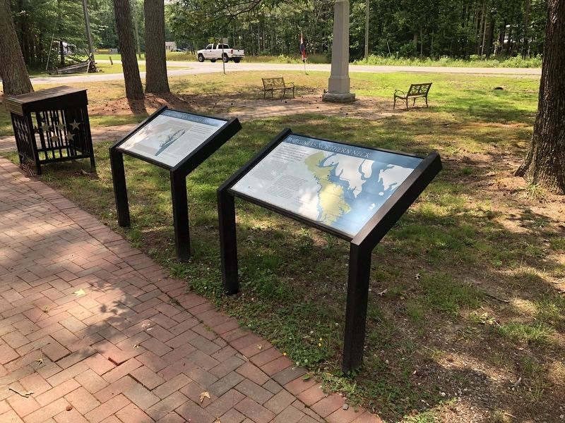
Other nearby markers. At least 8 other markers are within walking distance of this marker. James Monroe Birthplace (here, next to this marker); James Monroe (here, next to this marker); Birthplace of James Monroe (here, next to this marker); Virginia's Northern Neck (a few steps from this marker); Birthplace of Monroe (a few steps from this marker); Soldier - Statesman President James Monroe (about 400 feet away, measured in a direct line); Birthright and Beginnings (about 500 feet away); Monroe's Childhood Home (about 500 feet away). Touch for a list and map of all markers in Colonial Beach.
Credits. This page was last revised on July 5, 2021. It was originally submitted on July 5, 2021, by Devry Becker Jones of Washington, District of Columbia. This page has been viewed 93 times since then and 12 times this year. Photos: 1, 2. submitted on July 5, 2021, by Devry Becker Jones of Washington, District of Columbia.

