Near Colonial Beach in Westmoreland County, Virginia — The American South (Mid-Atlantic)
Monroe's Childhood Home
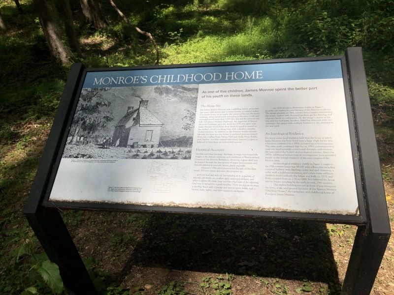
As one of five children, James Monroe spent the better part of his youth on these lands.
The Home Site
His father, Spence Monroe, was a middling farmer of modest but respectable means and a trained joiner, or cabinet maker. The family house sat at nearly the center of Spence Monroe's holdings, which faced south extending to Monroe Creek and extended more than 5,000 feet beyond the present-day S.R. 205 (James Monroe Highway). An appraisal of Spence Monroe's holdings, upon his death in 1774 (the same year James Monroe would leave these lands to attend to his studies), detail a working farm with a modest complex of dependencies. In addition to the Monroe family, records identify the farm was also home to enslaved persons named Peter, Joe, Cuffee, Kate, Fanny, Nell and child, Mud, Ralph and Daphne. Another named individual, Samuel Cooper, is believed to have been an indentured servant.
Historical Accounts
Very few surviving paintings, drawings, or maps exist to provide insight to the historic character and conditions of Westmoreland County, or the Monroe Birthplace. However, a great deal may be learned through the descriptions of major land patterns and features inferred in journals, letters, deeds wills.
Monroe's 1780 advertisement for the sale of the then-nearly 550-acre estate describes the property as:
… perfectly level and rich; (it) has standing on it, a quantity of valuable oak timber, an excellent apple and peach orchard, and where it adjoins the creek, large marshes which part of the adjoining land may be turned into a good meadow. There are also on the tract, a dwelling, house with a passage and several rooms below, with a kitchen, barn, stables, and other necessary out-houses.
An 1839 woodcut illustration visible in Figure 1 provides the earliest known likenesses of the Monroe residence. The image presents an 18th-century farm complex surrounding the home, replete with dooryard gardens, garden fencing, and adjacent lands in cultivation. At the image's center is the one and one half story, wooden, three-bay structure with two chimneys. An apiary with multiple beehives is also depicted in the rear yard.
Archaeological Evidence
For many years, local tradition held that the home in which James Monroe was born stood near a large single locust tree, a location confirmed by 1976 archaeological investigation. The same study confirmed that the ca. 1950s commemorative road was inadvertently constructed through, and overtop, the east end of the home's archaeological remains. Since the 1970s, additional archaeological investigations have provided insight to the historic character
Archaeological evidence visible in Figure 2, suggests the 18th-century house was 58'×18' with a floor plan including a central hallway with flanking rooms and end chimneys, a cellar with a bulkhead entrance, and a two-room addition. Artifacts found indicate the house was built ca. 1752 and likely occupied from ca. 1752 to 1850. It is believed the house was no longer standing by the early to mid, 19th century.
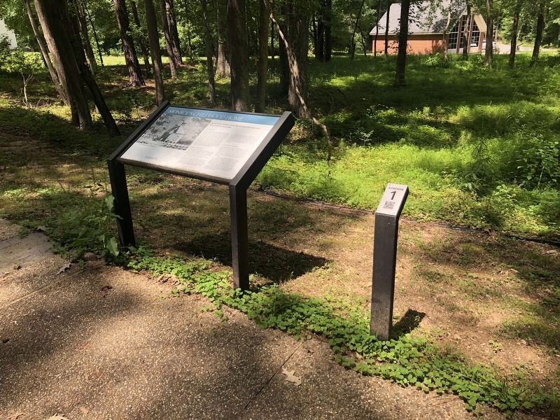
The replica building you see in front of you interprets the form, scale, and general location of the Spence Monroe "Dwelling House," the birthplace and childhood home of President James Monroe.
Topics and series. This historical marker is listed in these topic lists: Agriculture • Anthropology & Archaeology • Architecture • Government & Politics • Settlements & Settlers. In addition, it is included in the Former U.S. Presidents: #05 James Monroe series list. A significant historical year for this entry is 1774.
Location. 38° 14.456′ N, 76° 59.348′ W. Marker is near Colonial Beach, Virginia, in Westmoreland County. Marker can be reached from James Monroe Highway (Virginia Route 205) 0.3 miles north of Old Road, on the right when traveling north. Touch for map. Marker is at or near this postal address: 4460 James Monroe Hwy, Colonial Beach VA 22443, United States of America. Touch for directions.
Other nearby markers. At least 8 other markers are within walking distance of this marker. Birthright and Beginnings (a few steps from this marker); Revolutionary Idealist (within shouting distance of this marker); Soldier - Statesman President James Monroe (within shouting distance of this marker); Interpreting the Birthplace Site (within shouting distance of this marker); Birthplace of James Monroe (about 300 feet away, measured in a direct line); Service to the Commonwealth (about 300 feet away); James Monroe Birthplace (about 500 feet away); Statesman at Home and Abroad (about 500 feet away). Touch for a list and map of all markers in Colonial Beach.
Credits. This page was last revised on November 16, 2022. It was originally submitted on July 5, 2021, by Devry Becker Jones of Washington, District of Columbia. This page has been viewed 188 times since then and 49 times this year. Photos: 1, 2. submitted on July 5, 2021, by Devry Becker Jones of Washington, District of Columbia.

