Presidio of San Francisco in San Francisco City and County, California — The American West (Pacific Coastal)
Facts & Figures About the Bridge
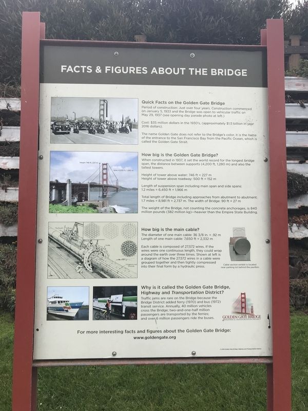
Quick Facts on the Golden Gate Bridge
Period of construction: Just over four years. Construction commenced on January 5, 1933 and the Bridge was open to vehicular traffic on May 29, 1937.
Cost: $35 million dollars in the 1930’s, approximately $1.5 billion in year 2016 dollars.
The name Golden Gate does not refer to the Bridge’s color, it is the name of the entrance to the San Francisco Bay from the Pacific Ocean, which is called the Golden Gate Strait.
How big is the Golden Gate Bridge?
When constructed in 1937, it set the world record for the longest bridge span, the distance between supports (4,200 ft, 1,280 m) and also the tallest towers.
Height of tower above water: 746 ft = 227 m
Height of tower above roadway: 500 ft = 152 m
Length of suspension span including main span and side spans: 1.2 miles = 6,450 ft = 1,966 m
Total length of Bridge including approaches from abutment to abutment: 1.7 miles = 8,981 ft = 2,737 m. The width of Bridge: 90 ft = 27 m
The weight of the Bridge, not counting the concrete anchorages, is 840 million pounds (382 million kg) - heavier than the Empire State Building.
How big is the main cable?
The diameter of one main cable: 36 3/8 in. = 0.92 m
Length of one main cable: 7,650 ft = 2,332 m
Each cable is composed of 27,572 wires. If the wires were one continuous length, they could wrap around the earth over three times. Shown above is a diagram of how the 27,572 wires in a cable were grouped together and then tightly compressed into their final form by a hydraulic press.
Why is it called the Golden Gate Bridge, Highway and Transportation District?
Traffic jams are rare on the Bridge because the Bridge District added ferry (1970) and bus (1972) transit service. Annually, 40 million vehicles cross the Bridge; two-and-one-half million passengers are transported by the ferries; and over 6 million passengers ride the buses.
www.goldengate.org
Erected 2016 by Golden Gate Bridge, Highway and Transportation District.
Topics. This historical marker is listed in these topic lists: Bridges & Viaducts • Roads & Vehicles. A significant historical date for this entry is May 29, 1937.
Location. 37° 48.481′ N, 122° 28.536′ W. Marker is in San Francisco, California, in San Francisco City and County. It is in Presidio of San Francisco. Marker can be reached from Coastal Trail. Marker is at lower-level entrance to Golden Gate Bridge Vista Point South overlook. Touch for map. Marker is in this post office area: San Francisco CA 94129, United States of America. Touch for directions.
Other nearby markers.
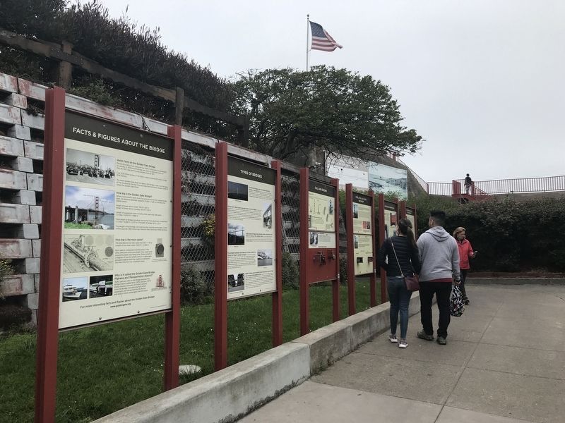
At least 8 other markers are within walking distance of this marker. Steel, Fog, Salt, Rust, and Paint (here, next to this marker); Tall and Strong (here, next to this marker); Types of Bridges (here, next to this marker); Art Deco on a Grand Scale (here, next to this marker); Battery Lancaster (a few steps from this marker); Joseph Strauss Legacy Circle (a few steps from this marker); Bridging the Gate — the Beginning (a few steps from this marker); Men of Vision (a few steps from this marker). Touch for a list and map of all markers in San Francisco.
Credits. This page was last revised on February 7, 2023. It was originally submitted on July 6, 2021, by Duane and Tracy Marsteller of Murfreesboro, Tennessee. This page has been viewed 212 times since then and 12 times this year. Photos: 1, 2. submitted on July 6, 2021, by Duane and Tracy Marsteller of Murfreesboro, Tennessee.

