Abercrombie in Richland County, North Dakota — The American Midwest (Upper Plains)
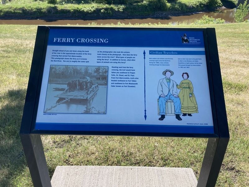
Ferry Crossing
Photographed by Connor Olson, June 14, 2021
1. Ferry Crossing Marker
Heading east from the ferry crossing, the trail would have taken you southeast to Fergus Falls, St. Cloud, and St. Paul. From Fort Abercrombie, trails also headed northwest to Fort Totten and southwest to Fort Wadsworth (later known as Fort Sisseton).
Civilian Travelers
Both soldiers and civilians used the ferry
crossing to get across the Red River.
During the 1860s, many civilians
traveling through Fort Abercrombie
were on their way west to the gold fields
in what is now Montana and Idaho.
Expeditions of gold seekers led by James
Fisk passed through Fort Abercrombie
in 1862 and 1863.
Erected by State Historical Society of North Dakota.
this page online
Topics. This historical marker is listed in these topic lists: Exploration • Forts and Castles • Settlements & Settlers • Waterways & Vessels. A significant historical year for this entry is 1862.
Location. 46° 26.7′ N, 96° 43.032′ W. Marker is in Abercrombie, North Dakota, in Richland County. It can be reached from Broadway North near Abercrombie Street. Touch for map. Marker is at or near this postal address: 935 Broadway N, Abercrombie ND 58001, United States of America. Touch for directions.

Regionally, this marker is in the Red River Valley and in Greater Fargo Area. It is also in the American Lewis & Clark Corridor, on the prairies, and on the Northern Plains. Globally, it is in North America, the Western Hemisphere, the Western World, and the Anglosphere. Historically, it finds itself in what was once Rupert’s Land and also the Louisiana Purchase.
Other nearby markers. At least 8 other markers are within walking distance of this marker: Cannon Bastion (within shouting distance of this marker); Barracks (within shouting distance of this marker); Carpenter Shop (within shouting distance of this marker);
Photographed by Connor Olson, June 14, 2021
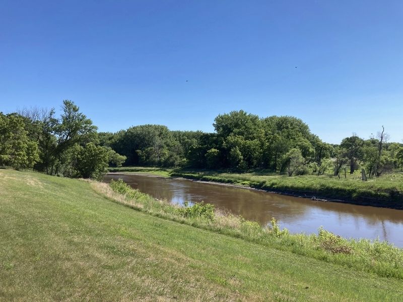
2. Red River of the North
Credits. This page was last revised on July 6, 2021. It was originally submitted on July 6, 2021, by Connor Olson of Menomonee Falls, Wisconsin. This page has been viewed 267 times since then and 16 times this year. Photos: 1, 2. submitted on July 6, 2021, by Connor Olson of Menomonee Falls, Wisconsin. • Mark Hilton was the editor who published this page.
