Redmond in King County, Washington — The American West (Northwest)
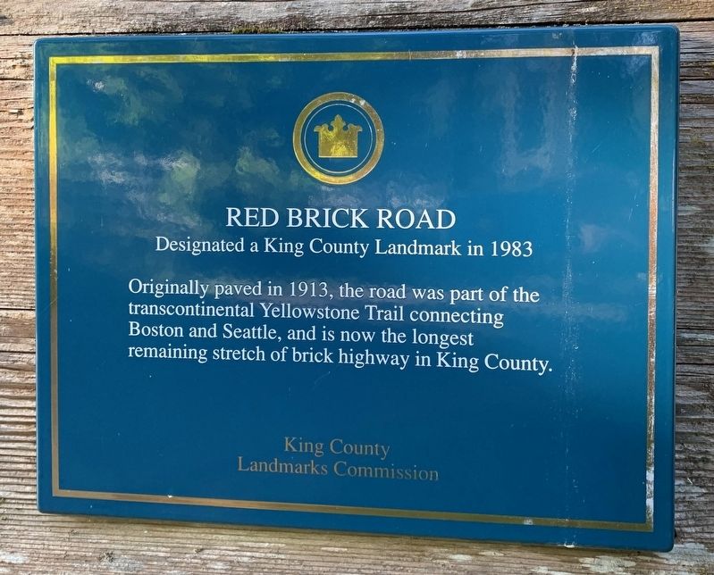
Red Brick Road
Designated a King County Landmark in 1983
Erected by King County Landmarks Commission.
Topics. This historical marker is listed in this topic list: Roads & Vehicles. A significant historical year for this entry is 1913.
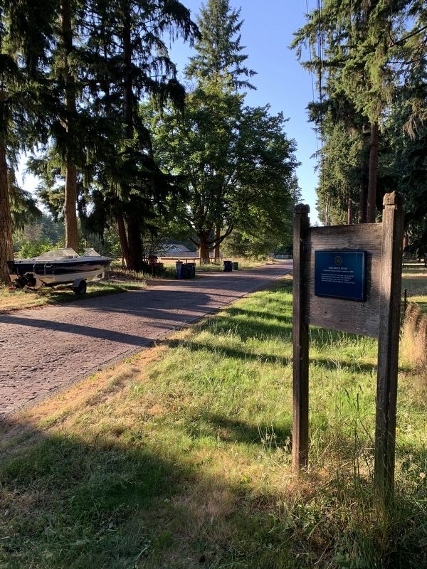
Location. 47° 39.485′ N, 122° 4.728′ W. Marker is in Redmond, Washington, in King County. Marker is on 196th Avenue NE, on the right when traveling north. Heading Westbound on the Redmond-Fall City road (Highway SR202), turn right (North) onto 196th Avenue NE. The marker will be on your right just as the road turns from modern pavement to brick. Touch for map. Marker is in this post office area: Redmond WA 98053, United States of America. Touch for directions.
Other nearby markers. At least 8 other markers are within 15 miles of this marker, measured as the crow flies. First Round The World Flight (approx. 8.8 miles away); Wildwood Station — Rainier Avenue Historic Shelter (approx. 12.4 miles away); Interurban Trolley (approx. 14.4 miles away); Wickers Building (approx. 14.4 miles away); Alderwood Manor Heritage Cottage (approx. 14.4 miles away); Humble House (approx. 14.4 miles away); Joseph Foster Tree (approx. 15 miles away); Foster Landing at Foster Homestead (approx. 15 miles away).
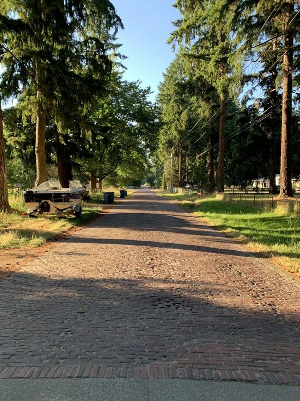
Regarding Red Brick Road. The Red Brick Road runs for about a mile, between SR202 and Union Hill Road, and passes through Sportsman Park, the Evans Creek Natural Area, and Arthur Johnson Park. Drive carefully, as the road is popular with bicyclists and pedestrians.
Credits. This page was last revised on July 15, 2021. It was originally submitted on July 6, 2021, by Loren Skaggs of Tacoma, Washington. This page has been viewed 505 times since then and 107 times this year. Photos: 1, 2, 3. submitted on July 6, 2021, by Loren Skaggs of Tacoma, Washington. • Bill Pfingsten was the editor who published this page.


