Aztalan in Jefferson County, Wisconsin — The American Midwest (Great Lakes)
Site Map of the Prehistoric Village of Aztalan
Aztalan National Historic Landmark
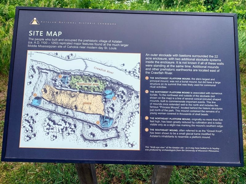
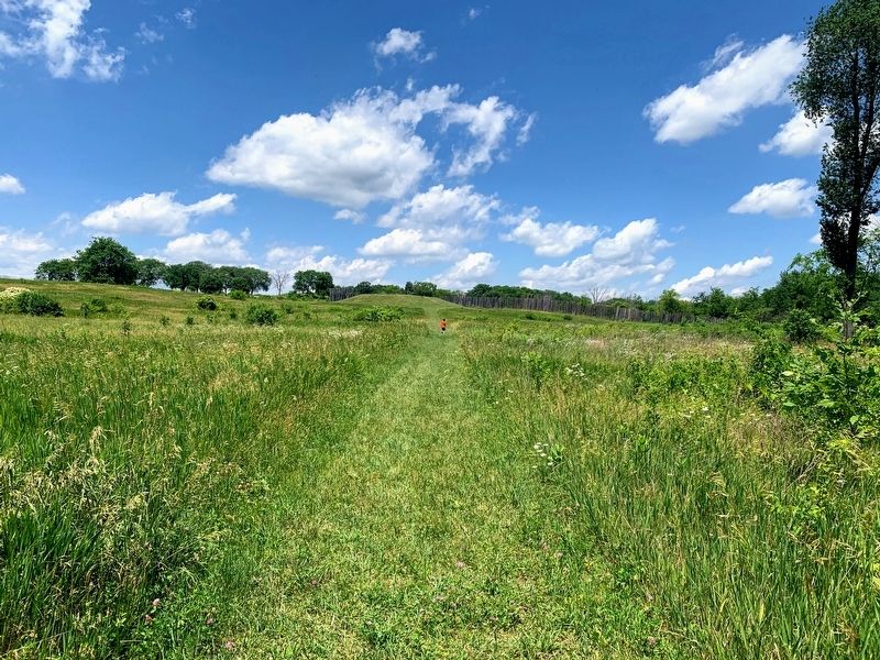
An outer stockade with bastions surrounded the 22 acre enclosure, with two additional stockade systems inside the enclosure. It is not known if all of these walls were standing at the same time. Additional mounds and other prehistoric earthworks are located east of the Crawfish River.
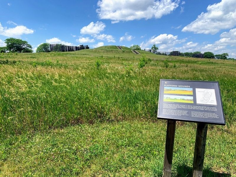
1 - The Southwest Platform Mound, the site's largest and principal mound, was not a burial mound, but did have a large structure on its summit that was likely used for communal ritual activities.
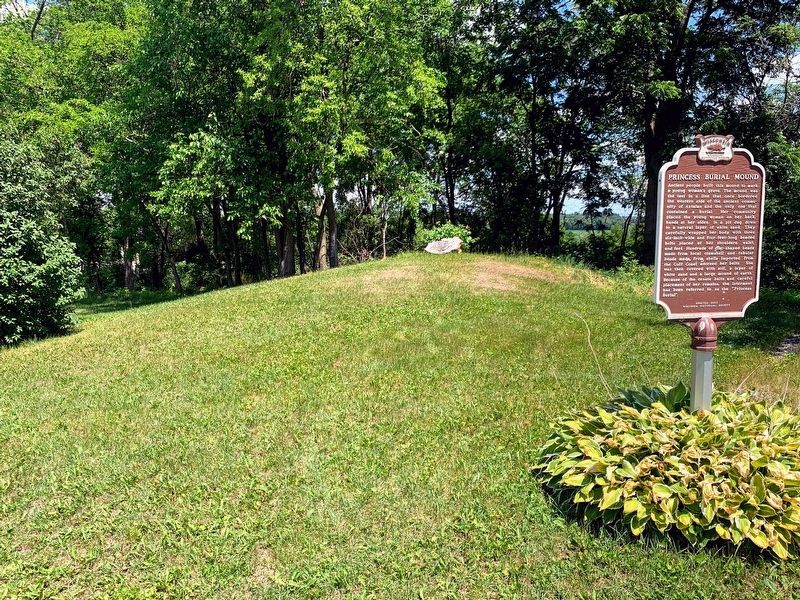
2 - The Northwest Platform Mound is associated with numerous burials. To the northwest and outside of the stockade (not shown on the map) is a line of several conical (circular) shaped mounds, built to commemorate important events. This line of mounds once extended well to the north and includes the famous "Princess Mound", located behind the historic structures just north of the park. This mound contained the remains of a young woman covered in thousands of shell beads.
3 - The Northeast Platform Mound, originally no more than five feet high, has been greatly reduced by cultivation and is today visible only as a slight rise marking the mound's southern edge.
4 - The Southeast Mound, often referred to as the "Gravel Knoll", has been shown to be a small glacial kame modified by Aztalan's inhabitants to resemble a platform mound.
Photo caption: This "birds-eye view" of the Aztalan site - as it may have looked in its heyday - was produced by archaeologists from the University of Wisconsin-Milwaukee.
Topics. This historical marker is listed in this topic list: Native Americans.
Location. 43° 4.133′ N, 88° 51.76′ W. Marker is in Aztalan, Wisconsin, in Jefferson County. Marker can be reached from County Road Q. Touch for map. Marker is at or near this postal address: N6200 County Road Q, Jefferson WI 53549, United States of America. Touch for directions.
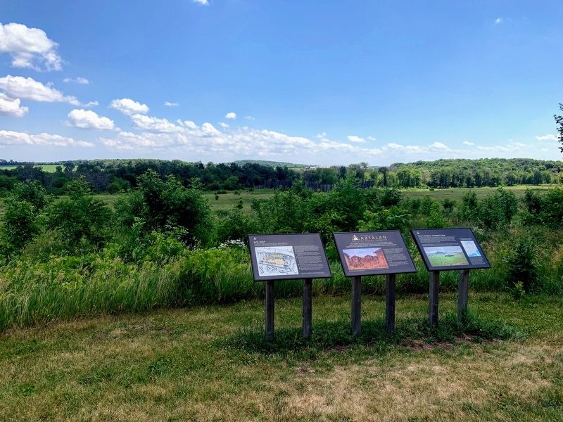
Other nearby markers. At least 8 other markers are within walking distance of this marker. Welcome to Aztalan National Historic Landmark (here, next to this marker); The Cahokia Connection (here, next to this marker); Aztalan Mound Park (a few steps from this marker); Aztalan (within shouting distance of this marker); Stone Tools (about 700 feet away, measured in a direct line); Other Artifacts (approx. 0.2 miles away); Prehistoric Pottery (approx. 0.2 miles away); Leisure Activities (approx. 0.2 miles away). Touch for a list and map of all markers in Aztalan.
More about this marker. The marker is at the start of the trail that runs through Aztalan State Park near the northern parking lot.
Credits. This page was last revised on July 10, 2021. It was originally submitted on July 7, 2021, by Devon Polzar of Port Washington, Wisconsin. This page has been viewed 184 times since then and 21 times this year. Photos: 1, 2, 3, 4, 5, 6. submitted on July 7, 2021, by Devon Polzar of Port Washington, Wisconsin. • Mark Hilton was the editor who published this page.
