South San Francisco in San Mateo County, California — The American West (Pacific Coastal)
Cuneo Farm and Produce Market
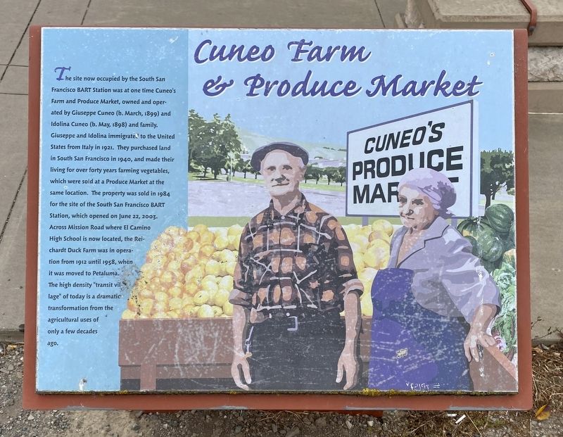
Photographed by Andrew Ruppenstein, July 7, 2021
1. Cuneo Farm and Produce Market Marker
Topics. This historical marker is listed in these topic lists: Agriculture • Industry & Commerce • Railroads & Streetcars. A significant historical date for this entry is June 22, 2003.
Location. 37° 39.792′ N, 122° 26.537′ W. Marker is in South San Francisco, California,
this page online

Regionally, this marker is in California’s San Francisco Bay Area and on the Coast Ranges. It is also on the American Pacific Coast. Globally, it is in North America, on the Ring of Fire, on the Pacific Rim, in the Western Hemisphere, in the Western World, and in the Anglosphere. Historically, it finds itself in what was once New Spain and also Mexico’s Alta California.
Other nearby markers. At least 8 other markers are within 2 miles of this marker, measured as the crow flies: Leipsic Junction (approx. 0.3 miles away); Molloy’s Springs (approx. 0.7 miles away); Joe Cavalli – Historical Site (approx. 0.7 miles away); Waterworks and the Pump House (approx. 0.7 miles away); Hickey Home (approx. 0.9 miles away); McGovern Home (approx. 0.9 miles away); Sign Hill (approx. 1.2 miles away); Colma City Hall (approx. 1.3 miles away). Touch for a list and map of all markers in South
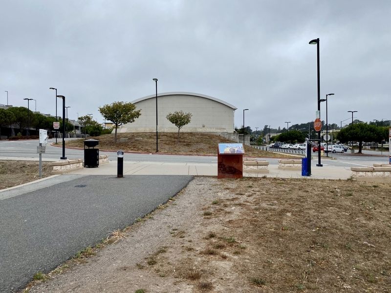
Photographed by Andrew Ruppenstein, July 7, 2021
2. Cuneo Farm and Produce Market Marker - wide view
The BART station and parking lot are visible in the background.
More about this marker. The marker is at the northern end of the Centennial Way Trail, where the trail terminates at the South San Francisco BART facility.
Credits. This page was last revised on July 7, 2021. It was originally submitted on July 7, 2021, by Andrew Ruppenstein of Lamorinda, California. This page has been viewed 490 times since then and 33 times this year. Photos: 1, 2. submitted on July 7, 2021, by Andrew Ruppenstein of Lamorinda, California.
