Weott in Humboldt County, California — The American West (Pacific Coastal)
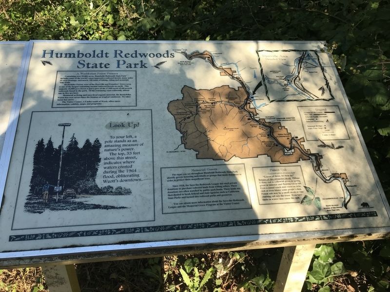
Humboldt Redwoods State Park
A World class Forest Preserve
Containing over 53,000-acres, Humboldt Redwoods State Park includes some of the world's most impressive redwood forests, many miles of river frontage, and nearly 100 miles of hiking, riding and mountain bike trails.
Rockefeller Forest, west of the Dyerville and Founders' Grove area, is one of the largest remaining ancient redwood forests on earth. This majestic 10,000-acre forest is just a part of the 17,000-acres of old growth redwoods found in the park. Of the remaining coast redwoods, almost one in five are here.
Measured as living and once-lived organic material, the Rockefeller Forest has over seven times the biomass as tropical rainforest. No other forest has more.
The Visitor Center, 1.5 miles south of Weott, offers more information, exhibits, maps, and programs.
Look Up!
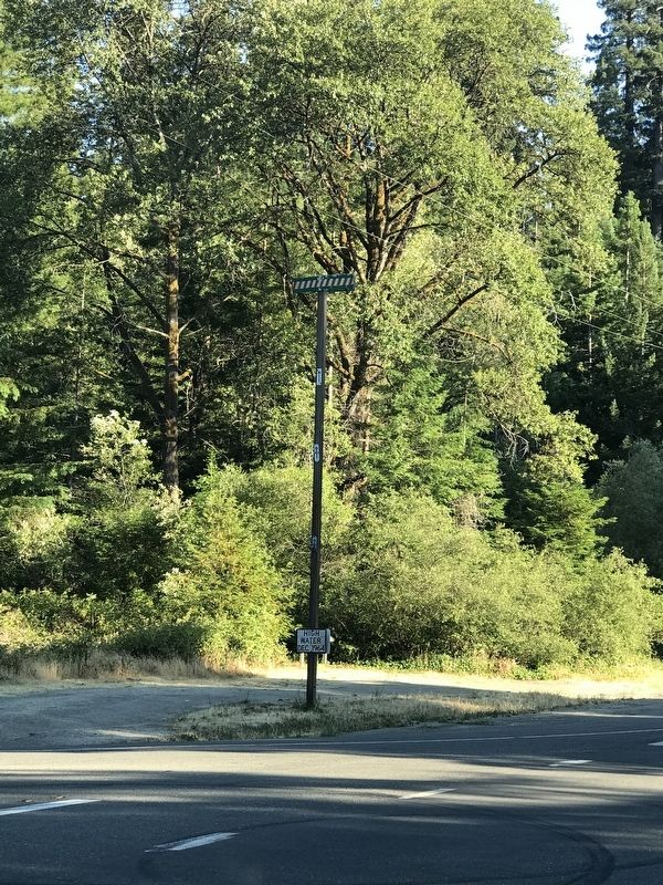
To your left, a pole stands as an amazing measure of nature's power.
The top, 33 feet above this street, indicates where waters crested during the 1964 flood, obliterating Weott's downtown.
Memorial Groves
The signs you see throughout Humboldt Redwoods State Park identify groves honoring individuals or groups that made donations in order to protect these magnificent trees.
Since 1918, the Save-the-Redwoods League has used private donations to purchase redwood lands from willing sellers. These donations are often matched by public park funds. These lands are then deeded to local, federal and state agencies such as California State Parks and turned into redwood parks and preserves. You can obtain more information about the Save-the-Redwoods League and the Memorial Grove Program at the Visitor Center.
Poison Oak
Toxicodendron diversilobum
"Leaves of three, let them be!" Beware of this attractive shrub. Foliage is shiny red to yellowish green in spring, green in summer and flaming red in fall. Even a casual touch may cause an itchy rash or even blister some people's skin. Poison oak may be a small shrub or vine climbing tall into the trees. Even bare limbs in winter may cause the rash.
Topics. This historical marker is listed in these topic lists: Disasters • Environment • Horticulture & Forestry • Parks & Recreational Areas. A significant historical year for this entry is 1918.
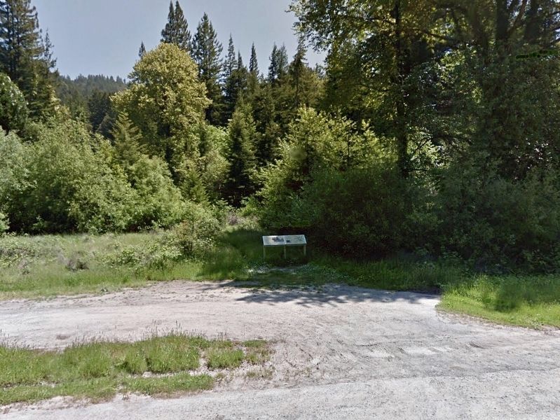
Location. 40° 19.494′ N, 123° 55.564′ W. Marker is in Weott, California, in Humboldt County. Marker is at the intersection of Avenue of the Giants (California Route 254) and Lum Street, on the right when traveling north on Avenue of the Giants. Touch for map. Marker is in this post office area: Weott CA 95571, United States of America. Touch for directions.
Other nearby markers. At least 8 other markers are within 4 miles of this marker, measured as the crow flies. Mother Nature Cannot Be Tamed (here, next to this marker); Redwood Time-ring (approx. 1˝ miles away); Laura Perrott Mahan & James P. Mahan (approx. 1˝ miles away); Old Giant Redwood Tree (approx. 1.6 miles away); The Tangled Roots of Founders Grove (approx. 1.9 miles away); "Ltcuntadun" (approx. 2.1 miles away); Swept Away (approx. 2.1 miles away); Giant Tree (approx. 3.8 miles away). Touch for a list and map of all markers in Weott.
Also see . . .
1. When the Waters Rose: Fifty years later, Humboldt County remembers the 1964 flood. By Grant Scott-Goforth, Thadeus Greenson and Heidi Walters in the North Coast Journal, posted December 4, 2014. (Submitted on July 8, 2021, by Duane and Tracy Marsteller of Murfreesboro, Tennessee.)
2. History of Redwoods and Save the Redwoods League. An interactive timeline that highlights key events in the effort to preserve the giant trees. (Submitted on July 8, 2021, by Duane and Tracy Marsteller of Murfreesboro, Tennessee.)
Credits. This page was last revised on February 23, 2023. It was originally submitted on July 8, 2021, by Duane and Tracy Marsteller of Murfreesboro, Tennessee. This page has been viewed 346 times since then and 30 times this year. Photos: 1. submitted on July 8, 2021, by Duane and Tracy Marsteller of Murfreesboro, Tennessee. 2. submitted on September 8, 2021, by Craig Baker of Sylmar, California. 3. submitted on July 8, 2021, by Duane and Tracy Marsteller of Murfreesboro, Tennessee.


