Near Crescent City in Del Norte County, California — The American West (Pacific Coastal)
Pioneer Stage Road to Oregon
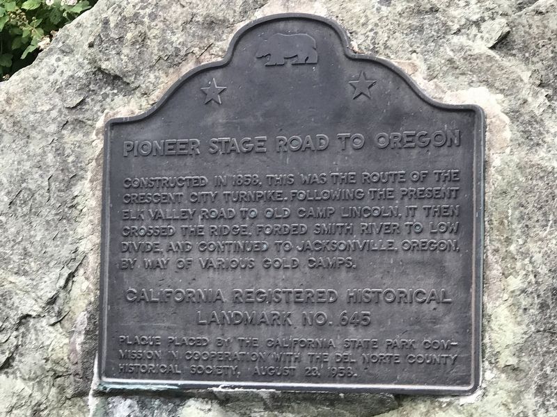
Photographed by Duane and Tracy Marsteller, June 30, 2021
1. Pioneer Stage Road to Oregon Marker
landmark no. 645
Erected 1958 by California State Park Commission and Del Norte County Historical Society. (Marker Number 645.)
Topics and series. This historical marker is listed in this topic list: Roads & Vehicles. In addition, it is included in the California Historical Landmarks series list. A significant historical year for this entry is 1858.
Location. 41° 48.131′ N, 124° 8.452′ W. Marker is near Crescent City, California, in Del Norte County. It is at the intersection of Elk Valley Road and Parkway Drive, on the right when traveling north on Elk Valley Road. Touch for map. Marker is in this post office area: Crescent City CA 95531, United States of America. Touch for directions.

Regionally, this marker is in California’s North Coast, specifically on the Coast Ranges, and in the Klamath Mountains. It is also
this page online
Other nearby markers. At least 8 other markers are within 5 miles of this marker, measured as the crow flies: Camp Lincoln (approx. 1.2 miles away); Simpson-Reed Discovery Trail (approx. 1.8 miles away); Simpson-Reed Grove (approx. 1.8 miles away); The Metcalf Grove (approx. 2.6 miles away); Tetrapod (approx. 4.2 miles away); Crescent City Tsunami, 1964 (approx. 4.4 miles away); Redwood National Park (approx. 4.4 miles away); Tsunamis are Synonymous With Crescent City (approx. 4.4 miles away). Touch for a list and map of all markers in Crescent City.
Another marker is no longer nearby. National Tribute Grove (was approx. 2.9 miles away but has been confirmed missing).
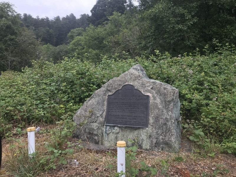
Photographed by Duane and Tracy Marsteller, June 30, 2021
2. Pioneer Stage Road to Oregon Marker
Credits. This page was last revised on July 9, 2021. It was originally submitted on July 9, 2021, by Duane and Tracy Marsteller of Murfreesboro, Tennessee. This page has been viewed 497 times since then and 52 times this year. Photos: 1, 2. submitted on July 9, 2021, by Duane and Tracy Marsteller of Murfreesboro, Tennessee.
