Burton's Bend
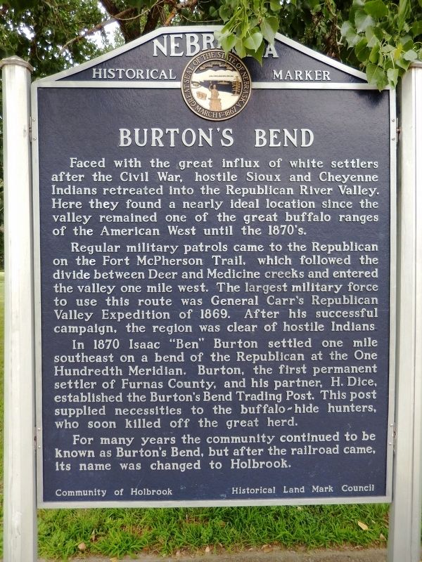
Faced with the great influx of white settlers after the Civil War, hostile Sioux and Cheyenne Indians retreated into the Republican River Valley. Here they found a nearly ideal location since the valley remained one of the great buffalo ranges of the American West until the 1870’s.
Regular military patrols came to the Republican on the Fort McPherson Trail, which followed the divide between Deer and Medicine creeks and entered the valley one mile west. The largest military force to use this route was General Carr’s Republican Valley Expedition of 1869. After his successful campaign, the region was clear of hostile Indians.
In 1870 Isaac “Ben” Burton settled one mile southeast on a bend of the Republican at the One Hundredth Meridian. Burton, the first permanent settler of Furnas County, and his partner, H. Dice, established the Burton’s Bend Trading Post. This post supplied necessities to the buffalo-hide hunters, who soon killed off the great herd.
For many years the community continued to be known as Burton’s Bend, but after the railroad came, its name was changed to Holbrook.
Erected by Community of Holbrook; Historical Land Mark Council. (Marker Number 83.)
Topics and series. This historical marker is listed in these topic lists: Native Americans
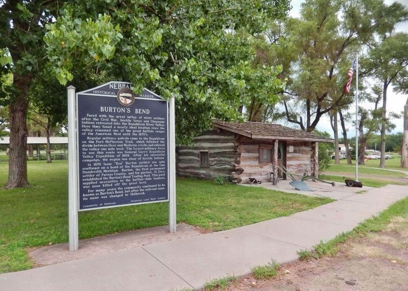
Location. 40° 18.436′ N, 100° 0.724′ W. Marker is in Holbrook, Nebraska, in Furnas County. Marker is on U.S. 6/34, 0.1 miles west of Center Avenue, on the right when traveling west. Marker is located in a pull-out on the north side of US Highway 6/34, at the east edge of Holbrook City Park. Touch for map. Marker is in this post office area: Holbrook NE 68948, United States of America. Touch for directions.
Other nearby markers. At least 1 other marker is within 6 miles of this marker, measured as the crow flies. Marking First Homestead in Furnas Co. (approx. 5˝ miles away).
Also see . . .
1. Holbrook, Nebraska. Wikipedia entry (Submitted on April 15, 2022, by Larry Gertner of New York, New York.)
2. The Holbrook Cabin. (from McCook Gazette, 10/13/2005)
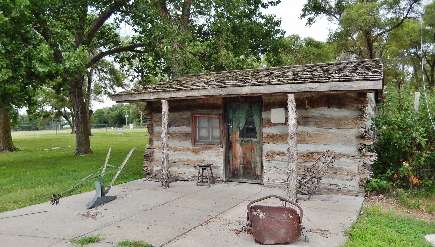
The cabin may be the oldest building still standing in the entire area. According to the Public Mirror, "The log cabin has been around the Frontier and Furnas County area since 1874. It was originally built by William Pennington approximately 14 miles northwest of Holbrook. The original location put the cabin near the Fort McPherson Trail at Medicine Creek Dam." The cabin was moved into Holbrook in 1932 by A.D. Lord, and relocated this past November to the Holbrook Village Park. Congratulations to all those who worked so hard to preserve this precious part of Southwest Nebraska history. The log cabin is an excellent symbol of the early settlement of this region. (Submitted on July 10, 2021, by Cosmos Mariner of Cape Canaveral, Florida.)
Credits. This page was last revised on April 15, 2022. It was originally submitted on July 10, 2021, by Cosmos Mariner of Cape Canaveral, Florida. This page has been viewed 247 times since then and 39 times this year. Photos: 1, 2, 3. submitted on July 10, 2021, by Cosmos Mariner of Cape Canaveral, Florida.


