New Johnsonville in Humphreys County, Tennessee — The American South (East South Central)
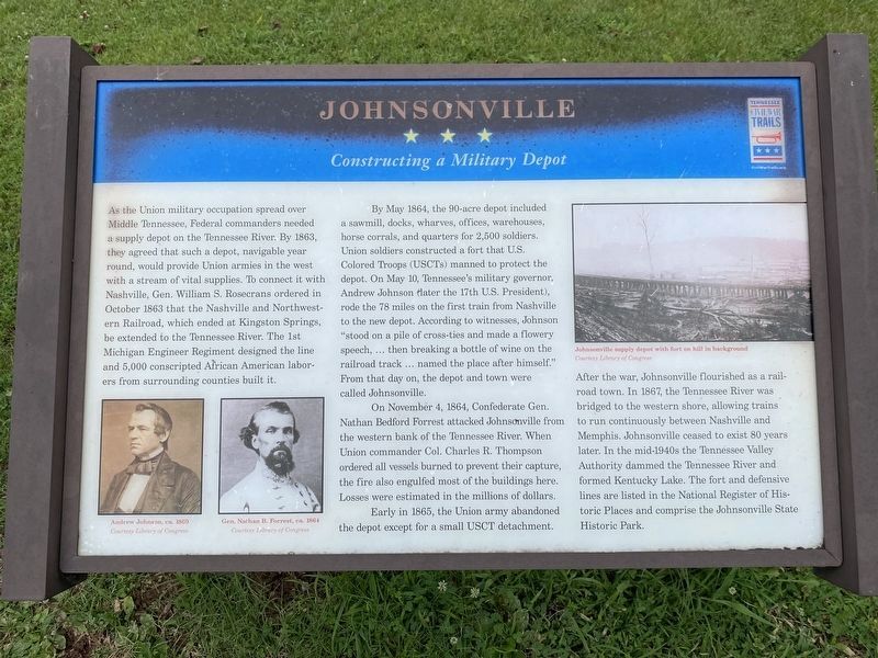
Johnsonville
Constructing a Military Depot
By May 1864, the 90-acre depot included a sawmill, docks, wharves, offices, warehouses, horse corrals, and quarters for 2,500 soldiers. Union soldiers constructed a fort that U.S. Colored Troops (USCTs) manned to protect the depot. On May 10, Tennessee’s military governor, Andrew Johnson (later the 17th U.S. President), rode the 78 miles on the first train from Nashville to the new depot. According to witnesses, Johnson “stood on a pile of cross-ties and made a flowery speech, … then breaking a bottle of wine on the railroad track … named the place after himself.” From that day on, the depot and town were called Johnsonville.
On November 4, 1864, Confederate Gen. Nathan Bedford Forrest attacked Johnsonville from the western bank of the Tennessee River. When Union commander Col. Charles R. Thompson ordered all vessels burned to prevent their capture, the fire also engulfed most of the buildings here. Losses were estimated in the millions of dollars.
Early in 1865, the Union army abandoned the depot except for a small USCT detachment. After the war, Johnsonville flourished as a railroad town. In 1867, the Tennessee River was bridged to the western shore, allowing trains to run continuously between Nashville and Memphis. Johnsonville ceased to exist 80 years later. In the mid-1940s the Tennessee Valley Authority dammed the Tennessee River and formed Kentucky Lake. The fort and defensive lines are listed in the National Register of Historic Places and comprise the Johnsonville State Historic Park.
(captions)
(lower left) Andrew Johnson, ca. 1869 and Gen. Nathan B. Forrest, ca. 1864 Courtesy Library of Congress
(upper right) Johnsonville supply depot with fort on hill in background Courtesy Library of Congress
Erected by Tennessee Civil War Trails.
Topics and series. This historical marker is listed in these topic lists: African Americans • War, US Civil. In addition, it is included in the Former U.S. Presidents: #17 Andrew Johnson, and the Tennessee Civil War Trails series lists. A significant historical month for this entry is May 1864.
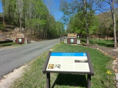
Location. 36° 3.623′ N, 87° 57.611′ W. Marker is in New Johnsonville, Tennessee, in Humphreys County. Marker is on Old Johnsonville Road, 0.4 miles west of Nell Beard Road, on the right when traveling west. The marker is located at the entrance to the Johnsonville State Historic Park. Touch for map. Marker is in this post office area: New Johnsonville TN 37134, United States of America. Touch for directions.
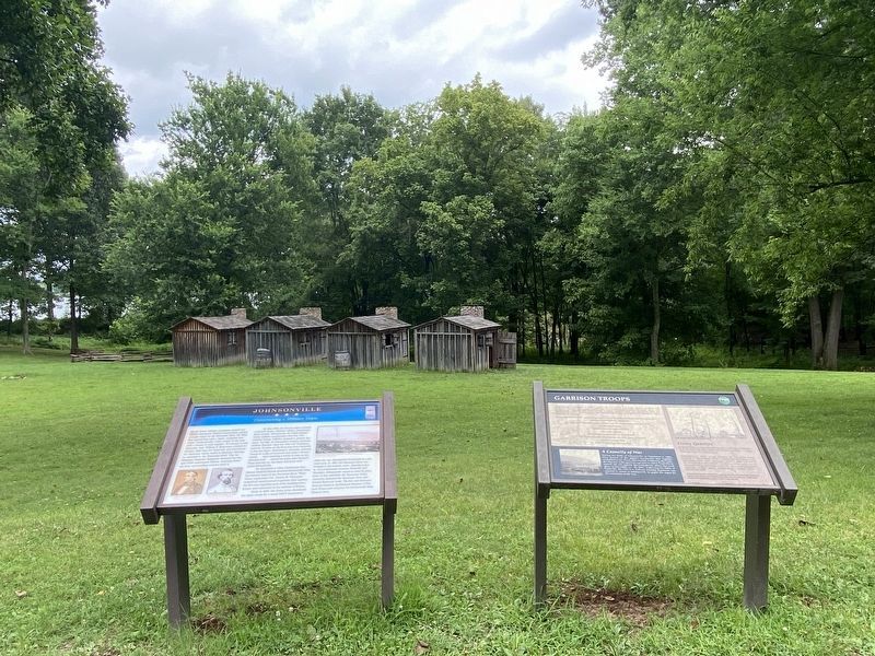
Other nearby markers. At least 8 other markers are within walking distance of this marker. Garrison Troops (here, next to this marker); United States Colored Troops at Johnsonville (within shouting distance of this marker); Old Johnsonville (within shouting distance of this marker); The Turntable (approx. 0.2 miles away); The Town of Johnsonville (approx. 0.2 miles away); Nashville and Northwestern Railroad (approx. 0.2 miles away); Building the Upper Redoubt (approx. 0.3 miles away); Old Johnsonville Cemetery (approx. 0.3 miles away). Touch for a list and map of all markers in New Johnsonville.
More about this marker. The location of this marker has changed. The gate seen in the second photo has been removed and the marker has been moved inside the old fence line.
Also see . . . Johnsonville State Historic Park. (Submitted on June 14, 2014.)
Credits. This page was last revised on July 11, 2021. It was originally submitted on June 14, 2014, by Don Morfe of Baltimore, Maryland. This page has been viewed 793 times since then and 29 times this year. Last updated on July 10, 2021, by Darren Jefferson Clay of Duluth, Georgia. Photos: 1. submitted on July 10, 2021, by Darren Jefferson Clay of Duluth, Georgia. 2, 3. submitted on June 14, 2014, by Don Morfe of Baltimore, Maryland. 4. submitted on July 10, 2021, by Darren Jefferson Clay of Duluth, Georgia. • J. Makali Bruton was the editor who published this page.


