East Pennsboro Township near Camp Hill in Cumberland County, Pennsylvania — The American Northeast (Mid-Atlantic)
Poplar Church Cemetery
1784 - 1885
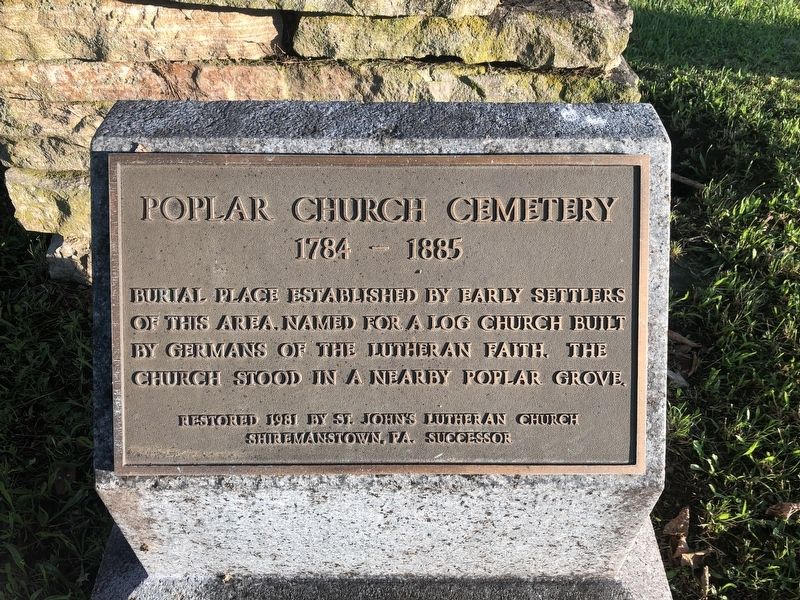
Erected 1981 by St. John's Lutheran Church, Shiremanstown, PA., Successor.
Topics. This historical marker is listed in these topic lists: Cemeteries & Burial Sites • Religion & Religious Structures • Settlements & Settlers.
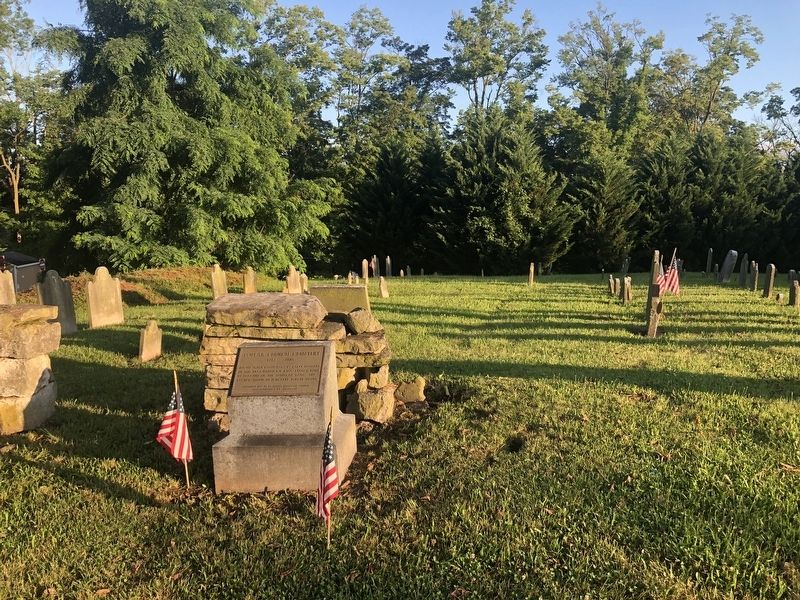
Location. 40° 15.302′ N, 76° 55.441′ W. Marker is near Camp Hill, Pennsylvania, in Cumberland County. It is in East Pennsboro Township. It is on Poplar Church Road 0.1 miles north of Center Street, on the left when traveling north. Touch for map. Marker is at or near this postal address: 888 Poplar Church Road, Camp Hill PA 17011, United States of America. Touch for directions.

Regionally, this marker is in South-Central Pennsylvania and in Greater Harrisburg. It is also in the American Northeast, in the Mid-Atlantic, in Appalachia, and specifically in Northern Appalachia. Globally, it is in North America, the Western Hemisphere, the Western World, and the Anglosphere.
this page online
Other nearby markers. At least 8 other markers are within one mile of this marker, measured as the crow flies: Camp Hill Church of God (approx. 0.9 miles away); White Hall School (approx. 0.9 miles away); The Skirmish of Oyster’s Point (approx. 0.9 miles away); Cumberland Riflemen (approx. one mile away); Maurice K. Goddard (approx. one mile away); POW ★ MIA (approx. one mile away); For God And Country (approx. one mile away); 2006-2007 War on Terrorism Deceased (approx. one mile away). Touch for a list and map of all markers in Camp Hill.
Credits. This page was last revised on February 7, 2023. It was originally submitted on July 10, 2021, by Devry Becker Jones of Washington, District of Columbia. This page has been viewed 714 times since then and 44 times this year. Photos: 1, 2. submitted on July 10, 2021, by Devry Becker Jones of Washington, District of Columbia.
