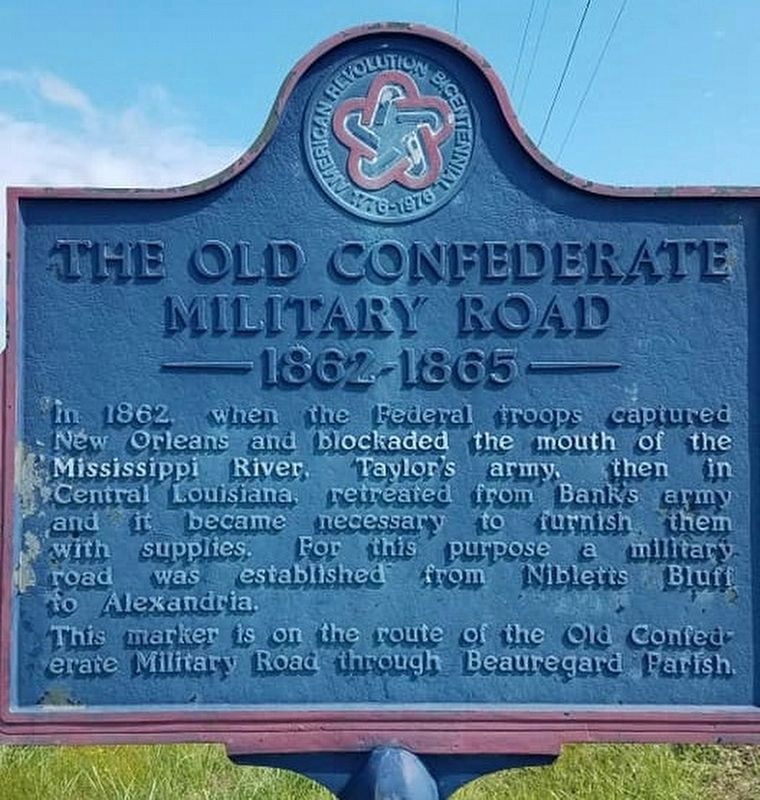
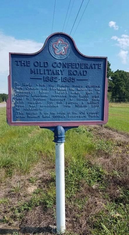
The Old Confederate Military Road
1862-1865
In 1862, when Federal troops captured New Orleans and blockaded the mouth of the Mississippi River, Taylor's army, then in Central Louisiana, retreated from Bank's army and it became necessary to furnish them with supplies. For this purpose a military road was established from Nibletts Bluff to Alexandria.
This marker is on the route of the Old Confederate Military Road through Beauregard Parish.
Erected 1976.
Topics and series. This historical marker is listed in these topic lists: Roads & Vehicles • War, US Civil. In addition, it is included in the The Spirit of ’76, America’s Bicentennial Celebration series list.
Location. Marker has been reported missing. It was located near 30° 42.886′ N, 93° 14.241′ W. Marker was in Deridder, Louisiana, in Beauregard Parish. Marker was on U.S. 190, 0.6 miles north of Hauser Road, on the right when traveling north. Touch for map. Marker was in this post office area: Deridder LA 70634, United States of America. Touch for directions.
Other nearby markers. At least 8 other markers are within 11 miles of this location, measured as the crow flies. Shady Grove School/Community Building (approx. 7.2 miles away); Longville, Louisiana (approx. 7˝ miles away); Grabow Riot
More about this marker. Marker was missing June 2021.
Credits. This page was last revised on July 11, 2021. It was originally submitted on July 11, 2021, by Cajun Scrambler of Assumption, Louisiana. This page has been viewed 337 times since then and 46 times this year. Photos: 1, 2. submitted on July 11, 2021, by Cajun Scrambler of Assumption, Louisiana.

