Lewisburg
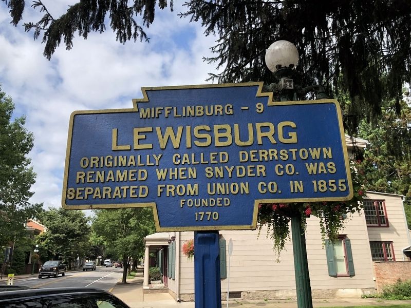
Originally called Derrstown. Renamed when Snyder Co. was separated from Union Co. in 1855.
Founded 1770
Topics and series. This historical marker is listed in these topic lists: Colonial Era • Political Subdivisions • Settlements & Settlers. In addition, it is included in the Pennsylvania Keystone Markers series list. A significant historical year for this entry is 1855.
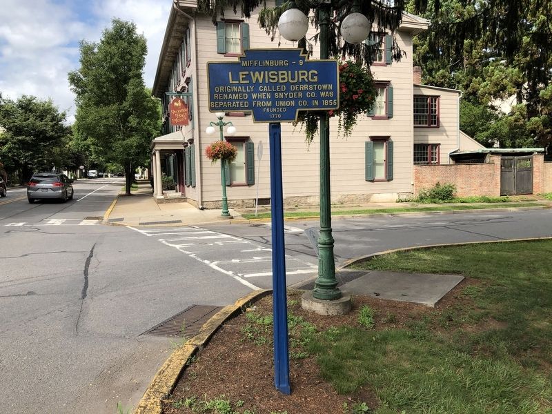
Location. 40° 57.988′ N, 76° 52.885′ W. Marker is in Lewisburg, Pennsylvania, in Union County. It is at the intersection of Market Street (Pennsylvania Route 45) and North Water Street, on the right when traveling west on Market Street. Touch for map. Marker is at or near this postal address: 12 Market St, Lewisburg PA 17837, United States of America. Touch for directions.
Regionally, this marker is in the Susquehanna Valley. It is also in the American Northeast, in the Mid-Atlantic, in Appalachia, and specifically in Northern Appalachia. Globally, it is in North America, the Western Hemisphere, the Western World, and the Anglosphere. Historically, it finds itself in what was once the Haudenosaunee (Iroquois) Confederacy and also
this page online
Other nearby markers. At least 8 other markers are within walking distance of this marker: Lewisburg Cross-Cut Canal (within shouting distance of this marker); In Honor of Ludwig Derr (within shouting distance of this marker); Soldiers' Memorial Park (within shouting distance of this marker); Lewisburg World War Veterans Memorial (within shouting distance of this marker); General Tasker H. Bliss (approx. 0.2 miles away); Catholic Chapel (approx. 0.2 miles away); Union County (approx. 0.2 miles away); St. Anthony Street Bridge (approx. ¼ mile away). Touch for a list and map of all markers in Lewisburg.
Credits. This page was last revised on July 11, 2021. It was originally submitted on July 11, 2021, by Devry Becker Jones of Washington, District of Columbia. This page has been viewed 683 times since then and 33 times this year. Photos: 1, 2. submitted on July 11, 2021, by Devry Becker Jones of Washington, District of Columbia.
