Bethesda in Montgomery County, Maryland — The American Northeast (Mid-Atlantic)
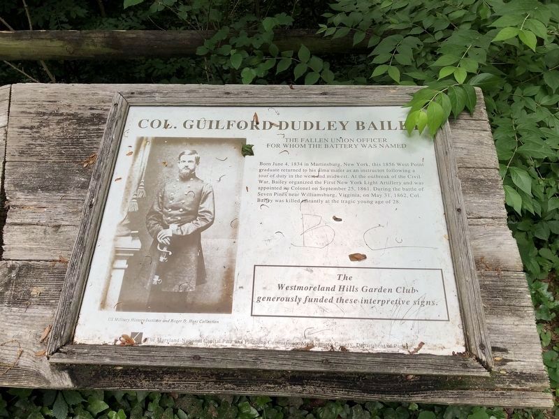
Col. Guilford Dudley Bailey
The Fallen Union Officer for Whom the Battery Was Named
Erected by Montgomery County Park Commission, Department of Parks; funded by the Westmoreland Hills Garden Club.
Topics and series. This historical marker is listed in these topic lists: Forts and Castles • War, US Civil. In addition, it is included in the Defenses of Washington series list. A significant historical month for this entry is May 1777.
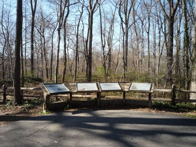
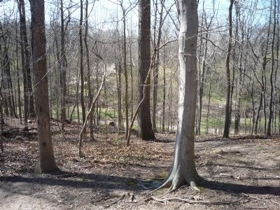
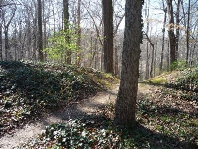
Location. 38° 57.135′ N, 77° 6.582′ W. Marker is in Bethesda, Maryland, in Montgomery County. Marker is on Elliott Road, 0.4 miles west of Ashfield Road, on the right when traveling west. Elliott Road ends at the entrance to Westmoreland Hills Community Park, and the panels are off the paved foot path from the north edge of the parking area, adjacent to the restored earthworks. Elliott Road is accessible from Massachusetts Avenue (Maryland Route 369) via Duvall Drive in southern Bethesda, a few blocks northwest of Western Avenue/Dalecarlia Resevoir Parkway, Northwest, across the District of Columbia border. Touch for map. Marker is at or near this postal address: 5315 Elliott Road, Bethesda MD 20816, United States of America. Touch for directions.
Other nearby markers. At least 8 other markers are within walking distance of this marker. Battery Bailey (a few steps from this marker); What is a Battery? (within shouting distance of this marker); Artist's Conception of Battery Bailey, Circa 1862 (within shouting distance of this marker); Defending the City of Washington (within shouting distance of this marker); Loughborough Mill (approx. half a mile away); a different marker also named Loughborough Mill (approx. half a mile away); Original Federal Boundary Stone, District of Columbia, Northwest 5 (approx. half a mile away); The Dalecarlia Tunnel (approx. 0.7 miles away). Touch for a list and map of all markers in Bethesda.
More about this marker. On panel 1 is a portrait of Col. Guilford Bailey. Panel 2 displays an Artist's Conception of Battery Bailey, Circa 1862, from the files of the National Archives. On panel 3 is a map showing Approximate locations of Civil War defenses in Montgomery County, Maryland. Also there is a photo captioned surveying the Potomac River: Soldiers of duty at Battery Alexander, near Fort Sumner. On panel 4 are photos showing nearby Battery Parrot:
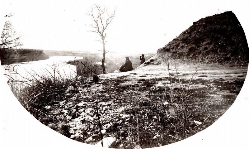
The Remnants are located in the 2400 Block of Foxhall Road, NW [Washington, D.C.], (Photo from the National Archives collection). In the lower left is a photo of An Unidentified Battery in the Still Picture Collection at the National Archives, Washington, D.C. The Westmoreland Hills Garden Club generously funded these interpretive signs.
Additional keywords. Westmoreland Hills
Credits. This page was last revised on June 4, 2021. It was originally submitted on April 4, 2009, by Richard E. Miller of Oxon Hill, Maryland. This page has been viewed 1,882 times since then and 13 times this year. Last updated on April 6, 2009, by Richard E. Miller of Oxon Hill, Maryland. Photos: 1. submitted on June 4, 2021, by Devry Becker Jones of Washington, District of Columbia. 2, 3, 4. submitted on April 4, 2009, by Richard E. Miller of Oxon Hill, Maryland. 5. submitted on February 7, 2020, by Allen C. Browne of Silver Spring, Maryland. • Craig Swain was the editor who published this page.
