Dinwiddie in Dinwiddie County, Virginia — The American South (Mid-Atlantic)
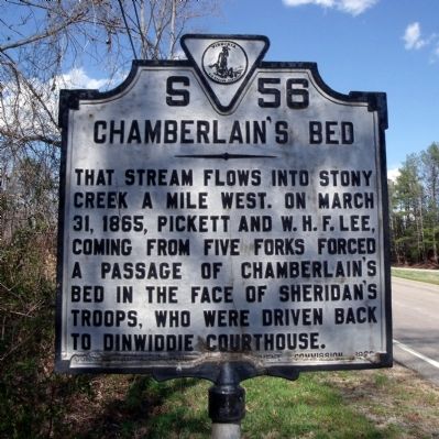
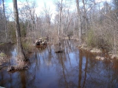
Chamberlain's Bed
Erected 1929 by Conservation & Development Commission. (Marker Number S-56.)
Topics and series. This historical marker is listed in this topic list: War, US Civil. In addition, it is included in the Virginia Department of Historic Resources (DHR) series list. A significant historical month for this entry is March 1867.
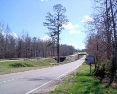
Location. Marker is missing. It was located near 37° 4.078′ N, 77° 36.115′ W. Marker was in Dinwiddie, Virginia, in Dinwiddie County. Marker was on Boydton Plank Road (U.S. 1) 0.2 miles north of Gatewood Road, on the right when traveling south. Touch for map. Marker was in this post office area: Dinwiddie VA 23841, United States of America. Touch for directions.
Other nearby markers. At least 8 other markers are within 2 miles of this location, measured as the crow flies. Campaign of 1781 (approx. 0.4 miles away); Dinwiddie Courthouse (approx. one mile away); Scott's Law Office (approx. one mile away); Dinwiddie Court House (approx. one mile away); Battle of Dinwiddie Court House (approx. one mile away); Early Education in Dinwiddie County (approx. one mile away); Dinwiddie Confederate Monument (approx. one mile away); The War of 1812 / Winfield Scott (approx. 1.1 miles away). Touch for a list and map of all markers in Dinwiddie.
More about this marker. The Virginia Department of Historic Resources announced the retirement of this marker on July 16, 2015. There are no immediate plans for its replacement.
Also see . . .
1. CWSAC Battle Summary. Dinwiddie Court House. (Submitted on April 6, 2009, by Bernard Fisher of Richmond, Virginia.)
2. Union General Joshua Lawrence Chamberlain. “Chamberlain, however, would survive the wound, and return to the front in time to play a pivotal role in the Appomattox Campaign. On April 12, 1865, Brigadier General Chamberlain received the Confederate surrender of arms. Rising to the occasion, the general ordered his men to salute their vanquished foes. ” (Submitted on July 16, 2015.)
3. State Retires Two Historical Highway Markers in Dinwiddie County. (Submitted on July 16, 2015.)
Credits. This page was last revised on June 16, 2016. It was originally submitted on April 6, 2009, by Bernard Fisher of Richmond, Virginia. This page has been viewed 1,657 times since then and 29 times this year. Photos: 1, 2, 3. submitted on April 6, 2009, by Bernard Fisher of Richmond, Virginia.


