Newport in Lincoln County, Oregon — The American West (Northwest)
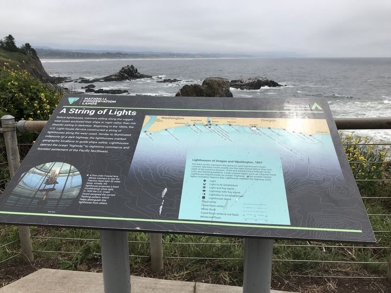
A String of Lights
Photographed by Duane and Tracy Marsteller, June 28, 2021
1. A String of Lights Marker
Lighthouses of Oregon and Washington, 1897
The faint circles represent the distance each lighthouse's beam covered. Mariners could usually see the light ahead before they lost sight of the previous beacon. Solid and dashed lines indicate lamp color and flashing patterns. Large coastal lights such as Yaquina Head Lighthouse helped create an ocean "highway," while smaller harbor lights including Yaquina Bay Lighthouse marked the highway exits.
Caption (bottom left): A first-order Fresnel lens allows mariners to see the Yaquina Head light 20 miles away. Initially, the lighthouse projected a fixed (nonblinking) white light. In 1939 the U.S. Coast Guard
this page online
Erected by U.S. Bureau of Land Management.
Topics and series. This historical marker is listed in this topic list: Waterways & Vessels. In addition, it is included in the Lighthouses series list. A significant historical year for this entry is 1939.
Location. 44° 40.595′ N, 124° 4.755′ W. Marker is in Newport, Oregon, in Lincoln County. It can be reached from Northwest Lighthouse Drive. Marker is on path between Yaquina Head Lighthouse and the parking lot. Touch for map. Marker is at or near this postal address: 750 NW Lighthouse Drive, Newport OR 97365, United States of America. Touch for directions.

Regionally, this marker is on the Oregon Coast. It is also on the American Pacific Coast, in the Pacific Northwest, and in the Lewis & Clark Corridor. Globally, it is in North America, on the Ring of Fire, in the Pacific Rim, in the Western Hemisphere, in the Western World, and in the Anglosphere.
Other nearby markers. At least 8 other markers are within 4 miles of this marker, measured as the crow flies: South to Newport
Photographed by Duane and Tracy Marsteller, June 28, 2021
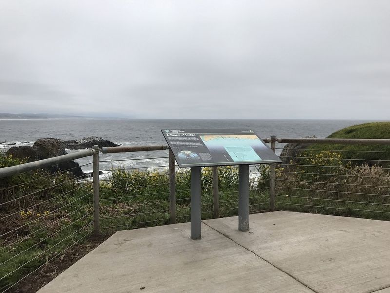
2. A String of Lights Marker
Credits. This page was last revised on July 13, 2021. It was originally submitted on July 13, 2021, by Duane and Tracy Marsteller of Murfreesboro, Tennessee. This page has been viewed 231 times since then and 25 times this year. Photos: 1, 2. submitted on July 13, 2021, by Duane and Tracy Marsteller of Murfreesboro, Tennessee.
