Sioux City in Woodbury County, Iowa — The American Midwest (Upper Plains)
Floyd Monument
Photographed by Ruth VanSteenwyk, February 21, 2016
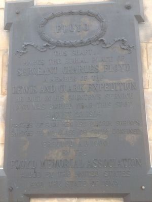
1. Floyd Monument West Side Marker
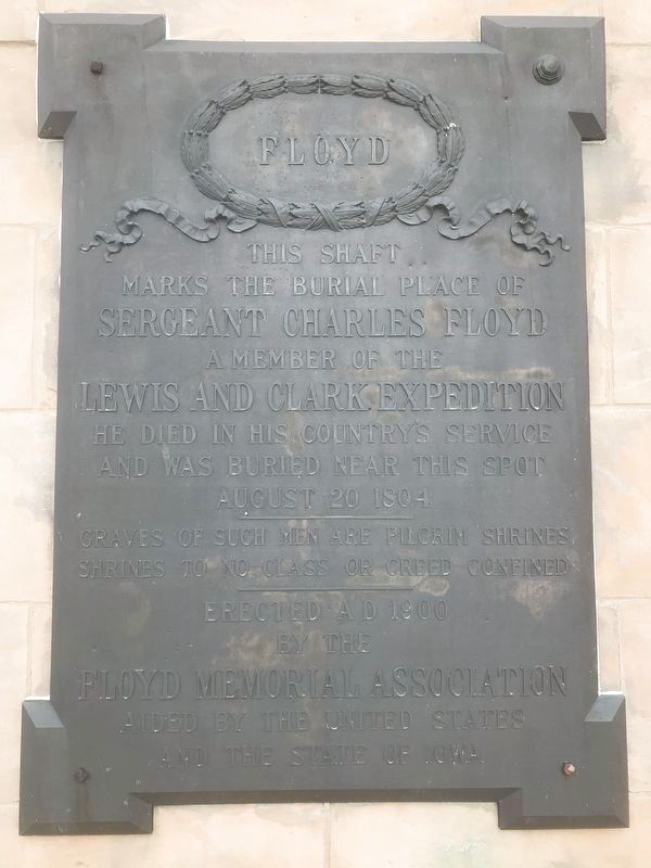
This Shaft
Marks the Burial Place of
Sergeant Charles Floyd
A Member of the
Lewis and Clark Expedition
He Died in his Country's service
and was buried near this spot
August 20 1804
Graves of such men are Pilgrim Shrines
Shrines to no Class or Creed Confined
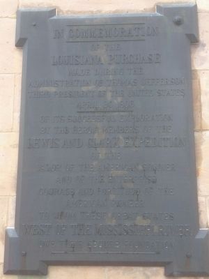
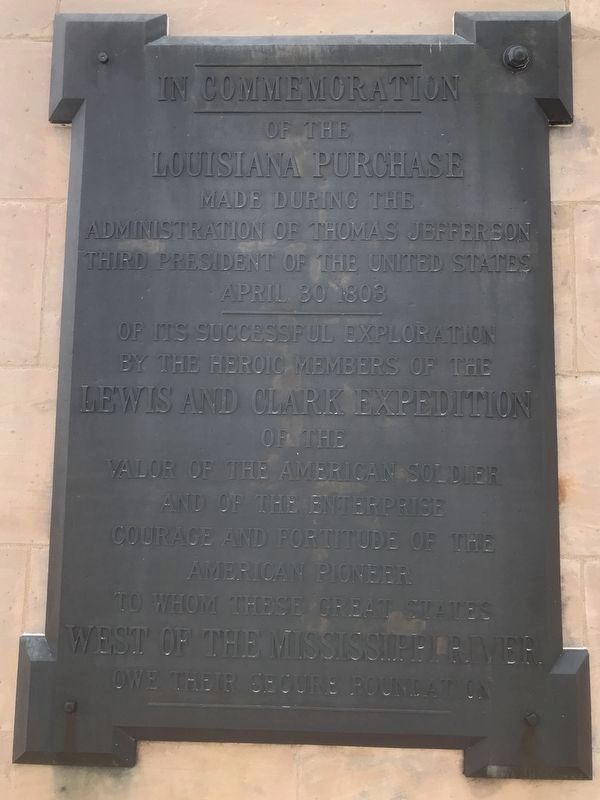
East Side of Monument
of the
Louisiana Purchase
Made during the
Administration of Thomas Jefferson
Third President of the United States
April 30 1803
of its Successful Exploration
By the Heroic Members of the
Lewis and Clark Expedition
of the
Valor of the American Soldier
and the Enterprise
Courage and Fortitude of the
American Pioneer
to whom these Great States
West of the Mississippi River
owe their Secure Foundation
Erected 1900 by The Floyd Memorial Association, aided by the United States, and the State of Iowa.
Topics and series. This historical marker and monument is listed in these topic lists: Cemeteries & Burial Sites • Exploration • Settlements & Settlers. In addition, it is included in the Former U.S. Presidents: #03 Thomas Jefferson, and the Lewis & Clark Expedition
this page online
Location. 42° 27.757′ N, 96° 22.678′ W. Marker is in Sioux City, Iowa, in Woodbury County. It is on S. Lewis Blvd. 0.3 miles north of Lincoln Way, on the right when traveling south. Floyd Monument is located at the top of Floyd's Bluff. Touch for map. Marker is in this post office area: Sioux City IA 51106, United States of America. Touch for directions.

Regionally, this marker and monument is in Western Iowa and in Loess Hills. It is also in the American Midwest, in the Lewis & Clark Corridor, and in the Corn Belt. Globally, it is in North America, the Western Hemisphere, the Western World, and the Anglosphere. Historically, it finds itself in what was once the territory of the Mississippian Culture and also the Louisiana Purchase.
Other nearby markers. At least 8 other markers are within 3 miles of this marker, measured as the crow flies: Sergeant Charles Floyd (here, next to this marker); The Death of Sergeant Floyd (a few steps from this marker); Sergeant Floyd Monument (within shouting distance of this marker); The Lewis & Clark Expedition (within shouting
Photographed by Ruth VanSteenwyk, February 21, 2016
2. Floyd Monument East Side Marker
Another marker is no longer nearby. The Lewis and Clark Expedition (was within shouting distance of this marker but has been confirmed missing).
Also see . . . Sioux City History - Historic Sites - Sergeant Floyd Monument. (Submitted on February 29, 2016, by Ruth VanSteenwyk of Aberdeen, South Dakota.)
July 11, 2021
3. Floyd Monument West Side Marker
July 11, 2021
4. Floyd Monument East Side Marker
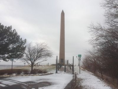
Photographed by Ruth VanSteenwyk, February 21, 2016
5. East Side of the Floyd Monument
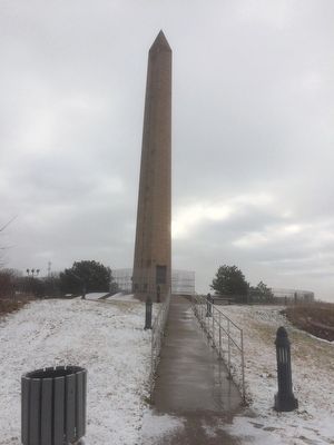
Photographed by Ruth VanSteenwyk, February 21, 2016
6. West Side of the Floyd Monument
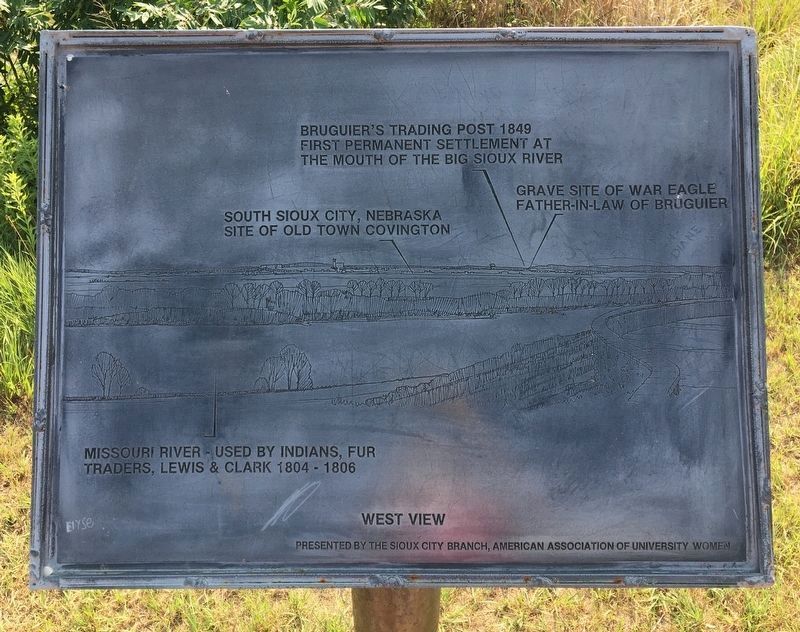
July 11, 2021
7. West View Marker near Floyd Monument
Places labeled on marker:
Missouri River - Used by Indians, fur traders, Lewis & Clark 1804 - 1806
South Sioux City, Nebraska site of Old Town Covington
Bruguier's Trading Post 1849 first permanent settlement at the mouth of the Big Sioux River
Grave Site of War Eagle father-in-law of Bruguier
Presented by the Sioux City Branch, American Association of University Women
Missouri River - Used by Indians, fur traders, Lewis & Clark 1804 - 1806
South Sioux City, Nebraska site of Old Town Covington
Bruguier's Trading Post 1849 first permanent settlement at the mouth of the Big Sioux River
Grave Site of War Eagle father-in-law of Bruguier
Presented by the Sioux City Branch, American Association of University Women
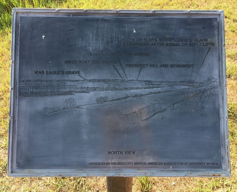
July 11, 2021
8. North View Marker near Floyd Monument
Places labeled on marker:
War Eagle's Grave
River Boat Sgt. Floyd
Veterans Memorial
Prospect Hill and Monument
Mouth of Floyd River - Lewis & Clark Encampment after burial of Sgt. Floyd
Presented by the Sioux City Branch, American Association of University Women
War Eagle's Grave
River Boat Sgt. Floyd
Veterans Memorial
Prospect Hill and Monument
Mouth of Floyd River - Lewis & Clark Encampment after burial of Sgt. Floyd
Presented by the Sioux City Branch, American Association of University Women
July 11, 2021
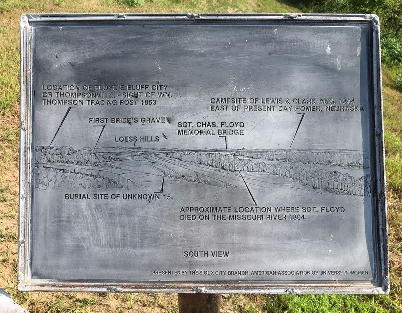
9. South View Marker near Floyd Monument
Places labeled on marker:
Location of Floyd's Bluff City or Thompsonville - Sight of Wm. Thompson Trading Post 1853
First Bride's Grave
Loess Hills
Burial Site of Unknown 15
Sgt. Chas. Floyd Memorial Bridge
Approximate location where Sgt. Floyd died on the Missouri River 1804
Campsite of Lewis & Clark Aug. 1804 east of present day Homer, Nebraska
Presented by the Sioux City Branch, American Association of University Women
Location of Floyd's Bluff City or Thompsonville - Sight of Wm. Thompson Trading Post 1853
First Bride's Grave
Loess Hills
Burial Site of Unknown 15
Sgt. Chas. Floyd Memorial Bridge
Approximate location where Sgt. Floyd died on the Missouri River 1804
Campsite of Lewis & Clark Aug. 1804 east of present day Homer, Nebraska
Presented by the Sioux City Branch, American Association of University Women
Credits. This page was last revised on August 12, 2021. It was originally submitted on February 29, 2016, by Ruth VanSteenwyk of Aberdeen, South Dakota. This page has been viewed 1,009 times since then and 75 times this year. Last updated on July 14, 2021. Photos: 1, 2. submitted on February 29, 2016, by Ruth VanSteenwyk of Aberdeen, South Dakota. 3, 4. submitted on July 14, 2021. 5, 6. submitted on February 29, 2016, by Ruth VanSteenwyk of Aberdeen, South Dakota. 7, 8, 9. submitted on August 1, 2021. • Mark Hilton was the editor who published this page.
