Near Chinook in Pacific County, Washington — The American West (Northwest)
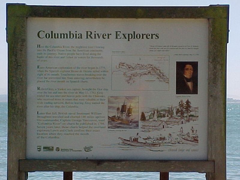
Columbia River Explorers
Euro-American exploration of the river began in 1775, when the Spanish explorer Bruno de Heceta sailed within sight of its mouth. Treacherous waves breaking over the river bar prevented him from entering; nevertheless he placed the river mouth on Spanish charts.
Robert Gray, a Yankee sea captain, brought the first ship over the bar and into the river on May 11, 1792. Gray traded for sea otter and beaver pelts with the Chinooks, who received items in return that were valuable in their wide trading network. Before leaving, Gray named the river after his ship, the Columbia.
Later that fall, British naval lieutenant William Broughton traveled and charted 100 miles upriver. His commander, Captain George Vancouver, used "Columbia River" on charts he published in 1798. Seven years later, these charts helped overland explorers Lewis and Clark confirm their exact location when they reached the mouth of the Columbia.
"About 20 Canoes came off, & brought a good lot of Furs & Salmon -- which last they sold, two for a board nail -- the furs we likewise bought cheap, for copper and cloth." — John Boit's journal, May 11, 1792
Captions (clockwise from top left):
• Vancouver's chart A Voyage of Discovery, London, 1798.
• Captain Robert Gray Washington State Historical Society
• Chinook lodges and canoes
• The Columbia crossing the bar
Erected by Washington State Department of Transportation.
Topics. This historical marker is listed in these topic lists: Exploration • Native Americans • Waterways & Vessels. A significant historical date for this entry is May 11, 1792.
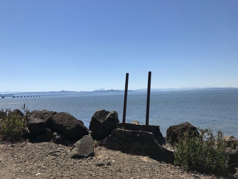
Location. Marker has been reported missing. It was located near 46° 14.546′ N, 123° 53.182′ W. Marker was near Chinook, Washington, in Pacific County. Marker was on U.S. 101, 0.6 miles State Highway 401, on the left when traveling west. Touch for map. Marker was at or near this postal address: 158 US-101, Chinook WA 98614, United States of America. Touch for directions.
Other nearby markers. At least 8 other markers are within 2 miles of this location, measured as the crow flies. St. Mary's Church (approx. 1.2 miles away); The Business of Trade (approx. 1.2 miles away); In Search of Recognition (approx. 1.2 miles away); How Do These Stories Continue? (approx. 1.2 miles away); The Search for the Northwest Passage / Jefferson's Mission Accomplished (approx. 1.2 miles away); A Collision of Cultures / How Did They Live? (approx. 1.2 miles away); What Are the First Stories of This Place? (approx. 1.2 miles away); Welcome to Middle Village (approx. 1.2 miles away). Touch for a list and map of all markers in Chinook.
Credits. This page was last revised on July 14, 2021. It was originally submitted on July 14, 2021, by Duane and Tracy Marsteller of Murfreesboro, Tennessee. This page has been viewed 193 times since then and 18 times this year. Photos: 1, 2. submitted on July 14, 2021, by Duane and Tracy Marsteller of Murfreesboro, Tennessee.
Editor’s want-list for this marker. Photo of restored marker. • Can you help?

