Duxbury in Plymouth County, Massachusetts — The American Northeast (New England)
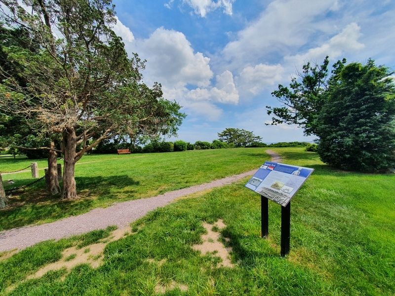
Bumpus Park
Bumpus Park
The Park
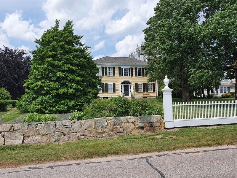
The King Caesar House was sold in 1946 by the Bumpus family. At that time, this wharf was donated to the Duxbury Rural & Historical Society to serve as a park, dedicated to the memory of Hermon C. Bumpus, Sr. The house itself would not be acquired by the DRHS until 1965. Now known as Bumpus Park, this former wharf allows visitors to imagine the town's shipbuilding heyday while enjoying majestic views of Duxbury Bay.
The Wharf
This piece of land was originally constructed as a wharf by the Weston shipbuilding firm. Ezra Weston I (1743-1822) started building small fishing vessels in his yard nearby and his house was located adjacent to this wharf, at the location of 126 King Caesar Road. His son, Ezra Weston II, joined the family firm in 1798 as a young man and he built his house at 120 King Caesar Road, today's King Caesar House Museum (built 1809). The Weston wharf was used for rigging and provisioning ships. There were five buildings located here, including a counting room and a sail loft. The wharf is shorter now than it once was and has been transformed into the pleasant park you see today.
Duxbury's Shipbuilding Era
During Duxbury's shipbuilding era (approximately 1790-1850), there were numerous wharves jutting out into Duxbury Bay. More than 25 shipbuilders worked in the Bay and along the Blue Fish River during the period. This industrial landscape encompassed ship yards, wharves, and other related businesses like rope walks, foundries, steam sheds, storage buildings, and sail lofts.
Most Duxbury ships were merchant vessels sailing to ports in Europe and the Mediterranean. By the 1840s, Duxbury ships were heavily involved in the profitable cotton trade, transporting cotton produced by Southern enslaved people to England's textile mills.
Many circumstances contributed to the decline of shipbuilding in Duxbury, including the shallow depths of Duxbury Bay that could not accommodate larger vessels like clipper ships, the scarcity of resources, and setbacks such as the financial Panic of 1837. The Weston firm, larger than most, stayed in business longer than others in Duxbury; their last ship, the schooner Express, was launched in 1846. The Weston firm continued to maintain its merchant fleet until it closed in 1857.
The park is available and open to the public from sunrise to sunset, as long as there is no private event scheduled. The DRHS does accept reservations for private ceremonies and photography. Please call our office to inquire: 781-934-6106
Captions:
Herman C. Bumpus, owner of King Caesar House from 1921-1946
Signal Flag, E. Weston & Sons, early 19th century
Map with detail of King Caesar’s estate showing buildings on the wharf and house property, 1879
Porter Keene’s Shipyard, Duxbury, ca. 1869
Winsor’s Wharf, Duxbury, 1848
Weston wharf with view of King Caesar House, ca. 1910
Remnants of Weston wharf, ca 1910
Erected by The Duxbury Rural and Historical Society.
Topics. This historical marker is listed in these topic lists: Colonial Era • Waterways & Vessels. A significant historical year for this entry is 1946.
Location. 42° 2.685′ N, 70° 39.847′ W. Marker is in Duxbury, Massachusetts, in Plymouth County. Marker is on King Caesar Road east of Russell Road, on the right when traveling east. Touch for map. Marker is at or near this postal address: 70 King Caesar Road, Duxbury MA 02332, United States of America. Touch for directions.
Other nearby markers. At least 8 other markers are within 2 miles of this marker, measured as the crow flies. Ezra Weston (a few steps from this marker); Site of Point School (within shouting distance of this marker); Shipyard Center (approx. 0.4 miles away); Site of Tide Grist Mills (approx. 0.4 miles away); Reynolds-Maxwell Garden (approx. 0.4 miles away); Nathaniel Winsor, Jr. House (approx. half a mile away); Philip Delano (approx. 0.8 miles away); Alden House Historic Site (approx. 1.1 miles away). Touch for a list and map of all markers in Duxbury.
Credits. This page was last revised on July 14, 2021. It was originally submitted on July 14, 2021, by J. Makali Bruton of Accra, Ghana. This page has been viewed 220 times since then and 31 times this year. Photos: 1, 2, 3. submitted on July 14, 2021, by J. Makali Bruton of Accra, Ghana.


