Eastside Promise Neighborhood in San Antonio in Bexar County, Texas — The American South (West South Central)
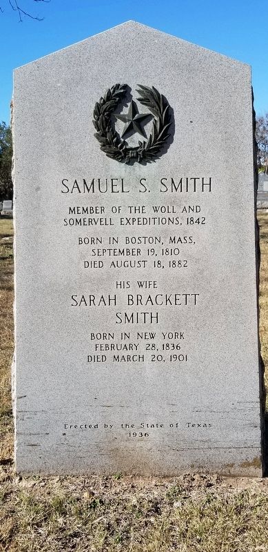
Samuel S. Smith
Somervell Expeditions, 1842
Born in Boston, Mass,
September 19, 1810
Died August 18, 1882
His wife
Sarah Brackett Smith
Born in New York
February 28, 1836
Died March 20, 1901
Erected 1936 by State of Texas. (Marker Number 4963.)
Topics and series. This historical marker is listed in these topic lists: Cemeteries & Burial Sites • War, Texas Independence. In addition, it is included in the Texas 1936 Centennial Markers and Monuments series list. A significant historical date for this entry is February 28, 1836.
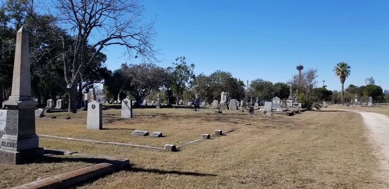
Location. 29° 25.237′ N, 98° 28.027′ W. Marker is in San Antonio, Texas, in Bexar County. It is in the Eastside Promise Neighborhood. Marker can be reached from the intersection of Paso Hondo and North Monumental Street. The marker is located in the northwest section of the City Cemetery #1. Touch for map. Marker is in this post office area: San Antonio TX 78203, United States of America. Touch for directions.
Other nearby markers. At least 8 other markers are within walking distance of this marker. Charles Frederick King (here, next to this marker); D.A. (Jack) Harris (within shouting distance of this marker); Gettysburg Address (within shouting distance of this marker); Folded Flag Memorial (about 300 feet away, measured in a direct line); San Antonio National Cemetery (about 300 feet away); A National Cemetery System (about 300 feet away); Bivouac of the Dead (about 300 feet away); Captain Lee Hall (about 400 feet away). Touch for a list and map of all markers in San Antonio.
Additional commentary.
1. State of Texas 1936 Historical Marker
This marker is a part of the State of Texas Historical markers for the War of Texas Independence. It also has information about the marker from the Atlas of Texas Historical sites including a Texas State marker number.
— Submitted July 16, 2021, by James Hulse of Medina, Texas.
Credits. This page was last revised on February 2, 2023. It was originally submitted on July 16, 2021, by James Hulse of Medina, Texas. This page has been viewed 213 times since then and 19 times this year. Photos: 1, 2, 3. submitted on July 16, 2021, by James Hulse of Medina, Texas.


