History Unfolds
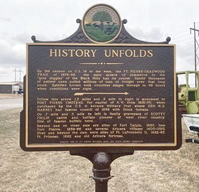
Follow this arrow 1.3 miles and .3 mile to right is monument to Fort Pierre Choteau, fur capital of N. W. from 1831-55; when purchased by the U. S. it became Military Post where Gen. W. S. Harney had famous council of 1856 with Sioux Indians.
On .7 mile and .5 mile to left is family graveyard of Scotty Philip, cattle and buffalo pioneer of west river country. Site of famous of buffalo herd.
Beyond that on river side are sites of Fort Galpin, 1857, New Fort Pierre, 1859-66 and several Fort Aricara villages 1400-1790. Over and beyond the dam were sites of Ft. LaFrombois II, 1862-65, Ft. Primeau, 1862 and old Aricara fortress.
Erected 1955 by Ft. Pierre National Bank; State Highway Commission. (Marker Number 43.)
Topics and series. This historical marker is listed in these
this page online
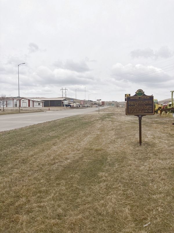
Location. 44° 22.296′ N, 100° 23.42′ W. Marker is in Fort Pierre, South Dakota, in Stanley County. It is on U.S. 14 east of Boomer Street, on the right when traveling west. Touch for map. Marker is in this post office area: Fort Pierre SD 57532, United States of America. Touch for directions.

Regionally, this marker is in the Crow Creek Sioux Tribe and in East River. It is also in the American Lewis & Clark Corridor, on the prairies, and on the Northern Plains. Globally, it is in North America, the Western Hemisphere, the Western World, and the Anglosphere. Historically, it finds itself in what was once Rupert’s Land and also the Louisiana Purchase.
Other nearby markers. At least 8 other markers are within 2 miles of this marker, measured as the crow flies: Bad Humored Island / Perils Along The Way (approx. 0.8 miles away); South Dakota Railroads (approx. 0.8
Credits. This page was last revised on July 16, 2021. It was originally submitted on March 23, 2021, by Connor Olson of Menomonee Falls, Wisconsin. This page has been viewed 339 times since then and 30 times this year. Last updated on July 16, 2021. Photos: 1, 2. submitted on March 23, 2021, by Connor Olson of Menomonee Falls, Wisconsin. • Mark Hilton was the editor who published this page.
