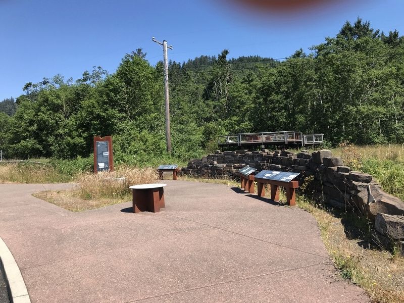
Near Chinook in Pacific County, Washington — The American West (Northwest)
The Search for the Northwest Passage / Jefferson's Mission Accomplished
Inscription.
The Search for the Northwest Passage
How did Euro-Americans lay claim to this place? For centuries, explorers sent by European nations with imperial ambitions sought the Northwest Passage — a navigable sea route connecting the Atlantic and Pacific oceans that could enhance trade between Europe and Asia. Many countries including Spain, Great Britain, Russia and the United States scouted the North Pacific for a route from the west.
• 499: According to Chinese texts, the Buddhist monk Hui Shen traveled to a land called Fusang that was approximately 10,000 kilometers from mainland China. Though no other evidence remains, some suggest Fusang was the Pacific Coast of North America.
• 1700s: Russians, Spanish, and British explore the Northwest Coast. Spanish shipwreck off of the Oregon Coast in 1707.
• 1775: Spanish explorers land at points on the Washington and Oregon coasts, where they claim territory.
• 1770s: Smallpox hits the Northwest Coast. Epidemics intermittently plague the region for the next 75 years.
• 1790: A series of agreements between Spain and Great Britain begin at the Nootka Convention. Both countries take license to settle in this "un-colonized” land.
• 1790s: At the time of European contact, the Chinook population numbers in the tens of thousands from The Dalles to the Pacific Ocean.
• May 11, 1792: American Captain Robert Gray reaches the Columbia River and explores 20 miles upstream.
• October 1792: British Captain George Vancouver arrives at the Columbia River, and Lieutenant William Broughton explores nearly a hundred miles upriver to the mouth of the Willamette River.
• 1790s: American and English traders regularly visit the mouth of the Columbia River, primarily to trade for furs.
Jefferson's Mission Accomplished
In 1805, Meriwether Lewis and William Clark led the Corps of Discovery to the Pacific Ocean — the first American overland expedition to cross the continent. In the ensuing years, the maritime fur trade brought hundreds of merchant vessels to the Columbia River, and land-based traders soon made their way far into the interior of the Pacific Northwest.
• 1790s-1820s: The coastal Chinook engage with fur traders of the American Pacific Fur, and British North West and Hudson's Bay companies, who also rely on them for food, other goods and labor.
• 1803: France sells Louisiana to the United States. President Jefferson seeks to unite the nation coast to coast.
• 1805: Lewis and Clark count 7,760 Chinook along the lower Columbia — two decades after disease had already reduced the population.
• November 15, 1805: The Corps of Discovery establish
Station Camp here, where they remain for ten days.
• 1811: New Yorker John Jacob Astor establishes a trading post of the Pacific Fur Company, Fort Astoria, at the site of the modern town.
• October 1813: Due to the War of 1812, Astor sells the American-owned, Canadian-staffed Pacific Fur Company to the British Northwest Company. They call it Fort George.
• 1818: The Treaty of Ghent allows joint occupation of Oregon Country by Great Britain and the United States.
• 1821: The Northwest Company merges with the Hudson's Bay Company and in 1825 they move their operations to Fort Vancouver.
Captions (left to right):
• On May 11, 1792. Captain Robert Gray entered the river, which he called the Columbia for his ship, the Columbia Rediviva. Gray and fifth mate, John Boit, recorded their encounters with the Chinook and traded for fish and furs. Oregon Historical Society, OrHi 128
• George Vancouver made this chart after Robert Gray's map of the river's entrance. Map Collection and Cartographic Information Services, University of Washington Libraries
• William Clark made this map of the mouth of the Columbia River while camped here in 1805-1806. American Philosophical Society
• Artist George Gibbs depicts salmon fishing at Willamette Falls in 1851. During fishing season, as many as 20,000 people gathered to fish at Willamette Falls from neighboring lands. Other upriver fishing sites included Cascade Rapids and Celilo Falls. Thousands also gathered along this coastline during fishing season. Smithsonian Institution
Topics. This historical marker is listed in these topic lists: Colonial Era • Exploration • Industry & Commerce • Waterways & Vessels. A significant historical date for this entry is May 11, 1792.
Location. 46° 14.83′ N, 123° 54.626′ W. Marker is near Chinook, Washington, in Pacific County. Marker can be reached from U.S. 101, 1.7 miles west of State Highway 401, on the right when traveling west. Marker is in the Middle Village/Station Camp Park wayside. Touch for map. Marker is at or near this postal address: 354 US-101, Chinook WA 98614, United States of America. Touch for directions.
Other nearby markers. At least 8 other markers are within walking distance of this marker. A Collision of Cultures / How Did They Live? (here, next to this marker); What Are the First Stories of This Place? (here, next to this marker); Welcome to Middle Village (a few steps from this marker); The Business of Trade (within shouting distance of this marker); How Do These Stories Continue? (within shouting distance of this marker); In Search of Recognition (within shouting distance of this marker); St. Mary's Church (within shouting distance of this marker); Fort Columbia (approx. 0.7 miles away). Touch for a list and map of all markers in Chinook.
Credits. This page was last revised on July 16, 2021. It was originally submitted on July 16, 2021, by Duane and Tracy Marsteller of Murfreesboro, Tennessee. This page has been viewed 196 times since then and 16 times this year. Photos: 1, 2. submitted on July 16, 2021, by Duane and Tracy Marsteller of Murfreesboro, Tennessee.

