
Near Sequim in Jefferson County, Washington — The American West (Northwest)
Discovery Bay
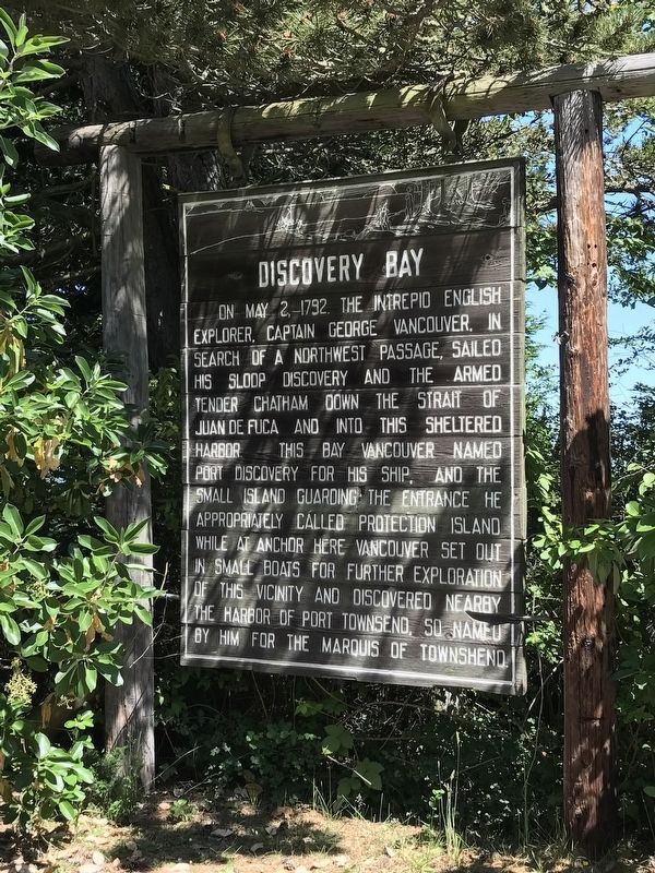
Photographed by Duane and Tracy Marsteller, June 26, 2021
1. Discovery Bay Marker
Topics. This historical marker is listed in these topic lists: Exploration • Waterways & Vessels. A significant historical date for this entry is May 2, 1792.
Location. 48° 2.762′ N, 122° 54.187′ W. Marker is near Sequim, Washington, in Jefferson County. It is on Olympic Highway (U.S. 101) west of 1st Street, on the right when traveling west. Touch for map. Marker is in this post office area: Sequim WA 98382, United States of America. Touch for directions.

Regionally, this marker is in Washington’s Olympic Peninsula. It is also on the American Pacific Coast, in the
this page online
Other nearby markers. At least 8 other markers are within 8 miles of this marker, measured as the crow flies: Captain George Vancouver R.N. (approx. 1.1 miles away); Civil War Memorial (approx. 7.3 miles away); Chief Chetzemoka (approx. 7.7 miles away); Chetzemoka (approx. 7.7 miles away); Sentinel Rock (approx. 7.7 miles away); qatáy Prairie (approx. 7.7 miles away); Kah Tai Prairie Preserve (approx. 7.7 miles away); World War Memorial (approx. 7.7 miles away).
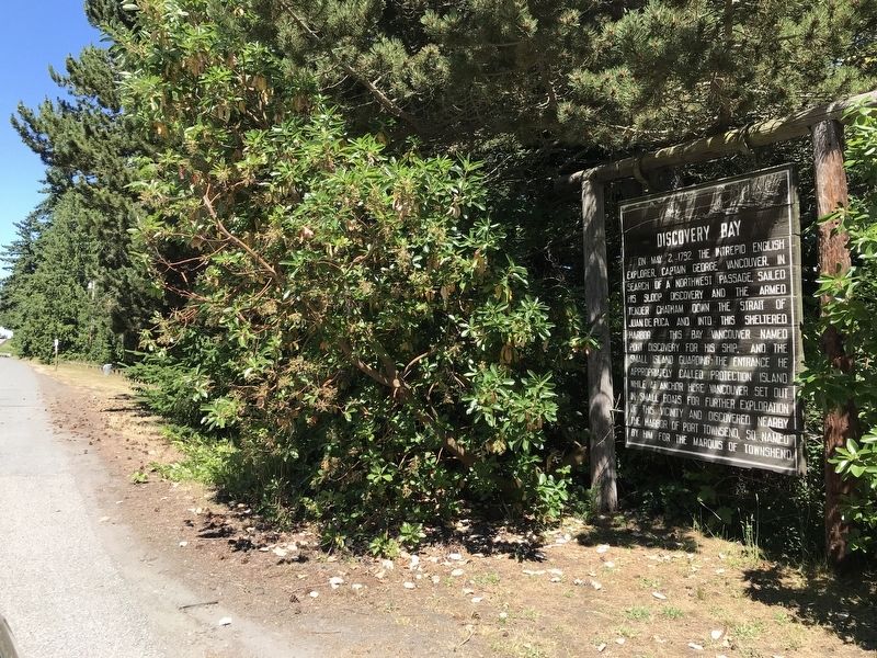
Photographed by Duane and Tracy Marsteller, June 26, 2021
2. Discovery Bay Marker
Credits. This page was last revised on July 16, 2021. It was originally submitted on July 16, 2021, by Duane and Tracy Marsteller of Murfreesboro, Tennessee. This page has been viewed 771 times since then and 102 times this year. Photos: 1, 2. submitted on July 16, 2021, by Duane and Tracy Marsteller of Murfreesboro, Tennessee.
