Near State Line City in Warren County, Indiana — The American Midwest (Great Lakes)
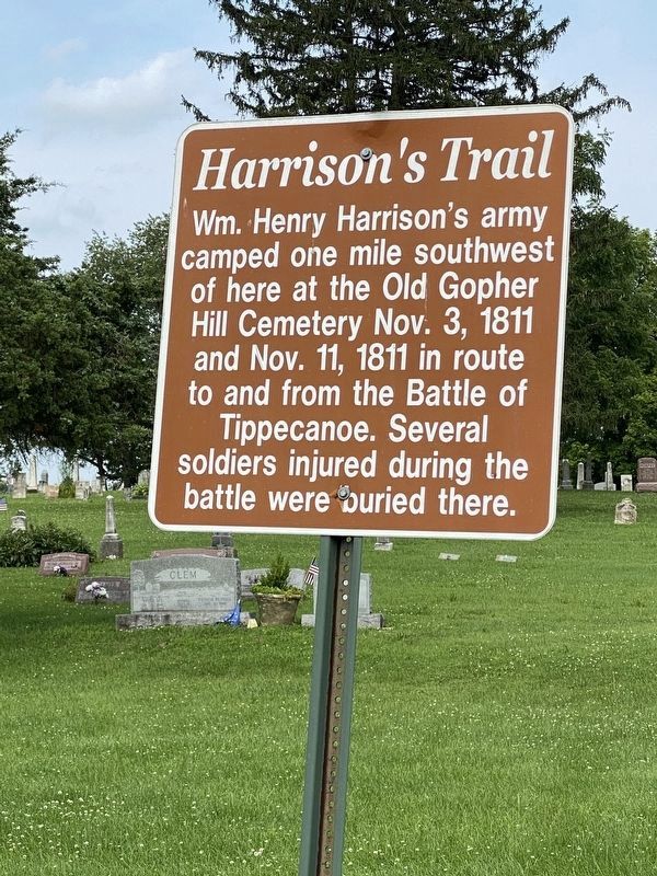
Harrison's Trail
Photographed by Sara Nemtuda
1. Harrison's Trail Marker
Topics and series. This historical marker is listed in this topic list: Wars, US Indian. In addition, it is included in the Former U.S. Presidents: #09 William Henry Harrison series list. A significant historical date for this entry is October 3, 1811.
Location. 40° 11.122′ N, 87° 29.431′ W. Marker is near State Line City, Indiana, in Warren County. It is on South 900 West half a mile north of West 950 South, on the right when traveling north. Touch for map. Marker is in this post office area: Covington IN 47932, United States of America. Touch for directions.

Regionally, this marker is in the Wabash Valley. It is also in the American Midwest and in the Corn Belt. Globally, it is in North America, the Western Hemisphere, the Western World, and the Anglosphere. Historically, it finds itself in what was once the territory of the Mississippian Culture and also the Northwest Territory.
Other nearby markers. At
this page online
Photographed by Sara Nemtuda
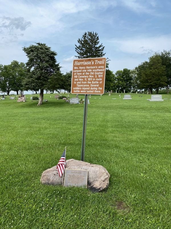
2. Harrison's Trail and Trail of Death Markers
Credits. This page was last revised on July 16, 2021. It was originally submitted on July 16, 2021, by Sara Nemtuda of Lafayette, Indiana. This page has been viewed 704 times since then and 56 times this year. Photos: 1, 2. submitted on July 15, 2021, by Sara Nemtuda of Lafayette, Indiana. • Devry Becker Jones was the editor who published this page.
