Conchas in San Miguel County, New Mexico — The American Mountains (Southwest)
Core Samples
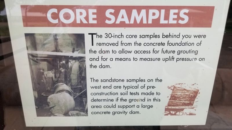
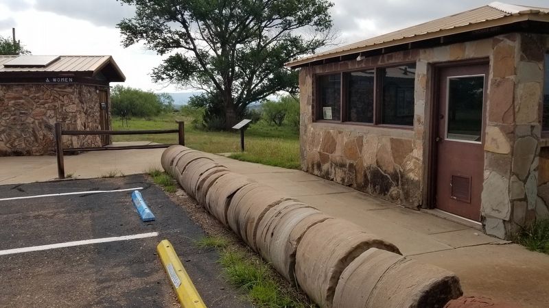
The 30-inch core samples behind you were removed from the concrete foundation of the dam to allow access for future grouting and for a means to measure uplift pressure on the dam.
The sandstone samples on the west end are typical of preconstruction soil tests made to determine if the ground in this area could support a large concrete gravity dam.
Topics. This historical marker is listed in these topic lists: Parks & Recreational Areas • Waterways & Vessels.
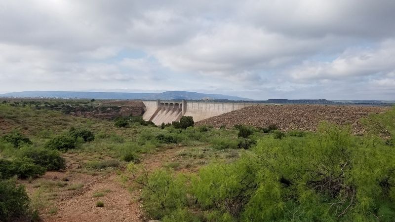
Location. 35° 24.416′ N, 104° 11.447′ W. Marker is in Conchas, New Mexico, in San Miguel County. Marker is on Bell Ranch Road, 0.1 miles south of Captain Kramer Lane, on the right when traveling north. The marker is located in the Conchas Lake State Park at a lookout of the dam on the east side of the road. Touch for map. Marker is in this post office area: Conchas Dam NM 88416, United States of America. Touch for directions.
Other nearby markers. At least 1 other marker is within walking distance of this marker. George Martinez (here, next to this marker).
Also see . . . Conchas Dam.
First proposed in the early 1930s, the dam was initially rejected because of its remote site and Depression conditions in New Mexico. However, the dam was made a possibility in 1935 with the passage of the Emergency Relief Appropriation Act, which authorized several public works projects in New Mexico to provide relief to unemployment. Initial site work began in 1935 with construction on the actual dam starting in 1936. In 1939 construction was completed at a cost of $15.8 million. Source: Wikipedia(Submitted on July 17, 2021, by James Hulse of Medina, Texas.)
Credits. This page was last revised on July 17, 2021. It was originally submitted on July 16, 2021, by James Hulse of Medina, Texas. This page has been viewed 115 times since then and 7 times this year. Photos: 1, 2, 3. submitted on July 17, 2021, by James Hulse of Medina, Texas.


