Lancaster in Lancaster County, Pennsylvania — The American Northeast (Mid-Atlantic)
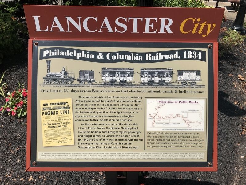
Philadelphia & Columbia Railroad, 1834
Travel cut to 3½ days across Pennsylvania on first chartered railroad, canals & inclined planes
— Lancaster City —

Photographed By Devry Becker Jones (CC0), July 12, 2019
1. Philadelphia & Columbia Railroad, 1834 Marker
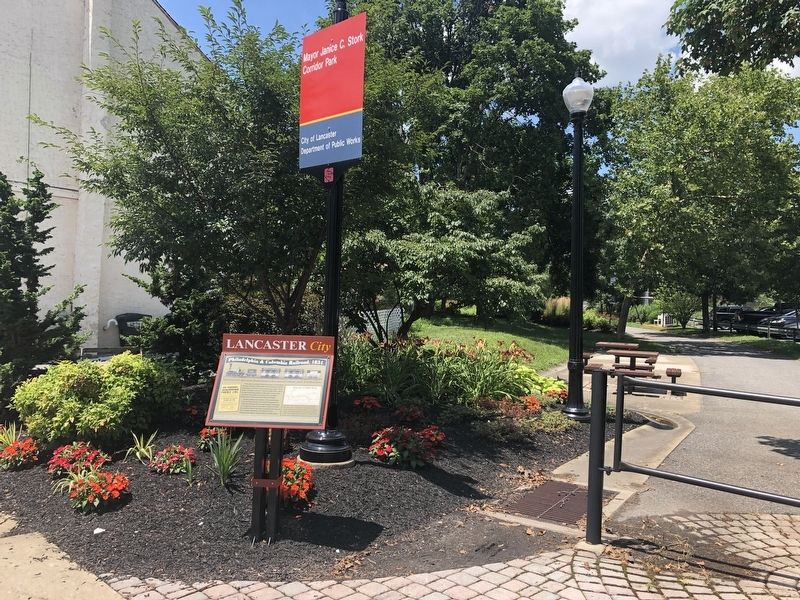
This narrow stretch of land from here to Harrisburg Avenue was part of the state's first chartered public railroad, providing a vital ink to Lancaster's city center. Now known as Mayor Janice C. Stork Corridor Park, this is the last remaining section of the right of way in the city where the public can experience a tangible connection to his important railroad heritage.
As the easternmost section of the state's Main Line of Public Works, the 80-mile Philadelphia & Columbia Railroad first brought regular passenger and freight service to Lancaster on April 16, 1834. By 1840 the City of York was connected to the rail line's western terminus at Columbia on the Susquehanna River, located about 10 miles west.
[Aside:]
Extending 394 miles across the Commonwealth, this huge public investment in transport facilities—canals, railroads and inclines planes—was designed to spur cross-state expansion of private enterprise and provide safety and convenience in public travel.
Topics. This historical marker is listed in these topic lists: Charity & Public Work • Parks & Recreational Areas • Railroads & Streetcars • Waterways & Vessels. A significant historical date for this entry is April 16, 1834.
Location. 40° 2.645′ N, 76° 18.604′ W. Marker is in Lancaster, Pennsylvania, in Lancaster County. Marker is on West Lemon Street west of North Water Street, on the right when traveling west. Marker is across the street from listed address, and is just west of sidewalk-level start of rail trail. Touch for map. Marker is at or near this postal address: 206 West Lemon Street, Lancaster PA 17603, United States of America. Touch for directions.
Other nearby markers. At least 8 other markers are within walking distance of this marker. Lancaster Rotary Park: 100 years of Rotary International (about 600 feet away, measured in a direct line); Working The Line (about 600 feet away); B. F. Good / P. Lorillard Tobacco Warehouse (about 700 feet away); Simon Snyder (approx. ¼ mile away); Underground Railroad (approx. ¼ mile away); Shreiner-Concord Cemetery (approx. ¼ mile away); Thaddeus Stevens (approx. ¼ mile away); Stevens Grave & Memorial (approx. ¼ mile away). Touch for a list and map of all markers in Lancaster.

Photographed By Devry Becker Jones (CC0), July 12, 2019
2. Philadelphia & Columbia Railroad, 1834 Marker
Credits. This page was last revised on July 17, 2021. It was originally submitted on July 13, 2019, by Devry Becker Jones of Washington, District of Columbia. This page has been viewed 328 times since then and 25 times this year. Last updated on July 17, 2021, by Carl Gordon Moore Jr. of North East, Maryland. Photos: 1, 2. submitted on July 13, 2019, by Devry Becker Jones of Washington, District of Columbia.