Near Flandreau in Moody County, South Dakota — The American Midwest (Upper Plains)
Flandreau Christian Indian Community
Photographed by Roger Dean Meyer, June 29, 2007
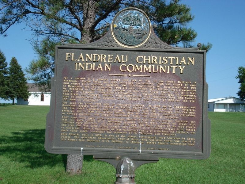
1. Flandreau Christian Indian Community Marker
For a quarter of a century before 1862 and its War of the Indian Outbreak in Minnesota, Santee Sioux had been accepting Christianity. With the killing of over 500 whites by a truculent minority. The government hung 38, imprisoned over 300 at Davenport and the remaining 1,300 old men, women and children were transported by steamboat to the bleak and drought stricken Crow Creek Agency, May 1863 at Ft. Thompson. Longfellow’s Evangeline is a parallel to this saga of separation, heartbreak and tragedy. Despite relief expeditions from Minnesota over 300 Santees died of malnutrition and exposure at Ft. Thompson that winter of 1863-64 and over 100 died at Davenport.
The next two years were ones of continued tragedy. In 1866, the Ft. Thompson and Davenport groups were re-united at Santee Agency at the mouth of the Niobrara. The one third Christians had constant difficulty with the backward non-Christian brethren and in 1869 twenty-five families gave up tribal rights, annuities, everything to become citizens, and acquire homesteads along the Sioux at Flandreau.
They soon built their little Presbyterian Church in what was
this page online
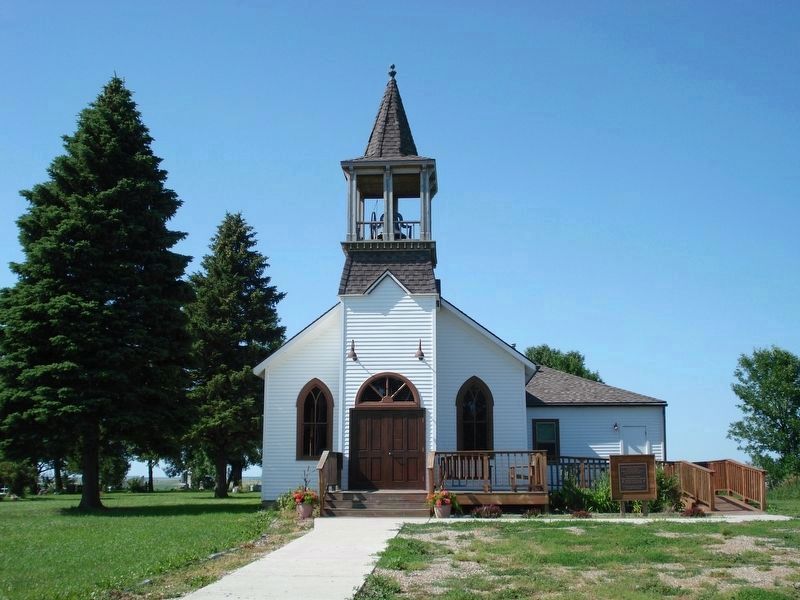
This church, built in 1873, is one of the oldest continuously used Churches in South Dakota. The graveyard memorializes man of those early Christian names who shared in this hegira from Mankaton, Ft. Snelling, Ft. Thompson, Santee Agency terminating here.
Erected 1956 by County Commissioners and State Highway Commission. (Marker Number 162.)
Topics and series. This historical marker is listed in this topic list: Indigenous Peoples and Communities. In addition, it is included in the South Dakota State Historical Society Markers series list. A significant historical month for this entry is May 1863.
Location. 44° 4.09′ N, 96° 35.226′ W. Marker is near Flandreau, South Dakota, in Moody County. It is
Photographed by Roger Dean Meyer, June 29, 2007
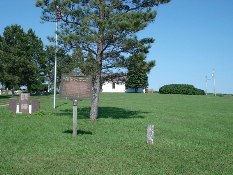
2. Flandreau Christian Indian Community Marker

Regionally, this marker is in East River and in Greater Sioux Falls. It is also in the American Midwest, in the Lewis & Clark Corridor, in the Corn Belt, on the prairies, and on the Northern Plains. Globally, it is in North America, the Western Hemisphere, the Western World, and the Anglosphere. Historically, it finds itself in what was once Rupert’s Land and also the Louisiana Purchase.
Other nearby markers. At least 8 other markers are within 2 miles of this marker, measured as the crow flies: Dakota Akicita Wokisye / Dakota Soldiers Memorial (within shouting distance of this marker); Wakpaipaksan Okodakiciye (about 400 feet away, measured in a direct line); Flandreau Indian High School (approx. ¼ mile away); Waxdahl Claim Shack (approx. 1.3 miles away); Grow: 66/125 (approx. 1.3 miles away); Crescent Street Bridge Railing (approx. 1.3 miles away); Riverbend Meeting House (approx. 1.3 miles away); Chicago, Milwaukee & St. Paul Depot
Photographed by Roger Dean Meyer, June 29, 2007
3. Presbyerian Church
Credits. This page was last revised on July 17, 2021. It was originally submitted on March 17, 2020, by Roger Dean Meyer of Yankton, South Dakota. This page has been viewed 504 times since then and 38 times this year. Last updated on July 17, 2021. Photos: 1, 2, 3. submitted on March 17, 2020, by Roger Dean Meyer of Yankton, South Dakota. • Devry Becker Jones was the editor who published this page.
