Griffith Park in Los Angeles in Los Angeles County, California — The American West (Pacific Coastal)
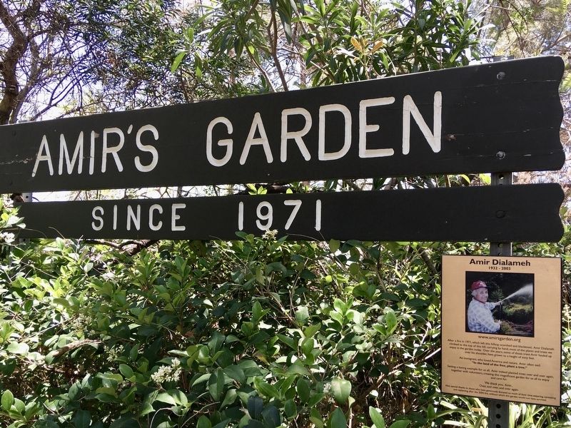
Amir’s Garden
Since 1971
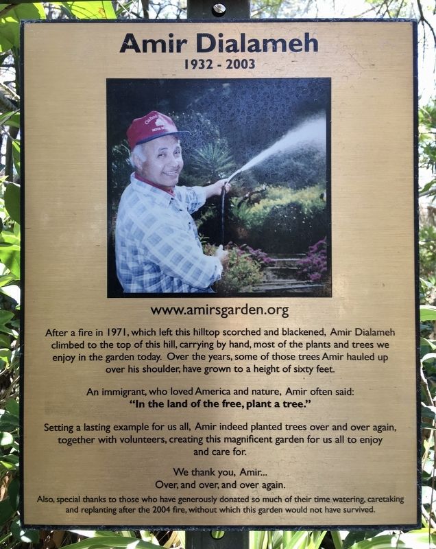
| — | Amir Dialameh, 1932-2003 | — |
Photographed by Craig Baker, June 11, 2021
1. Amir’s Garden Marker
After a fire in 1971, which left this hilltop scorched and blackened, Amir Dialameh climbed to the top of this hill, carrying by hand most of the plants and trees we enjoy in the garden today. Over the years, some of those trees Amir hauled up over his shoulder have grown to a height of sixty feet.
An immigrant who loved America and nature, Amir often said: "In the land of the free, plant a tree."
Setting a lasting example for us all, Amir indeed planted trees over and over again, together with volunteers, creating this magnificent garden for us all to enjoy and care for.
We thank you, Amir... Over, and over, and over again. Also, special thanks to those who have generously donated so much of their time watering, caretaking and replanting after the 2004 fire, without which this garden would not have survived.
Topics. This historical marker is listed in these topic lists: Charity & Public Work • Horticulture & Forestry • Parks & Recreational Areas. A significant historical year for this entry is 1971.
Location. 34° 8.549′ N, 118° 17.574′ W. Marker is in Los Angeles, California, in Los Angeles
this page online

Regionally, this marker is in the Transverse Ranges. It is also on the American Pacific Coast. Globally, it is in North America, on the Ring of Fire, on the Pacific Rim, in the Western Hemisphere, in the Western World, and in the Anglosphere. Historically, it finds itself in what was once New Spain and also Mexico’s Alta California.
Other nearby markers. At least 8 other markers are within walking distance of this marker: Tragedy in Griffith Park (approx. 0.2 miles away); 100 Years of Golf in Griffith Park (approx. ¼ mile away); The Birth of The Curse (approx. 0.3 miles away); Site of the Old Zoo (approx. 0.7 miles away); Site of the Old Los Angeles Zoo (approx. 0.7 miles away); Shane's Inspiration (approx. 0.7 miles away); Rodger Young Village (approx. ¾ mile away); Special Delivery (approx.
Photographed by Craig Baker, June 11, 2021
2. Amir’s Garden Marker
Also see . . . Amir’s Garden. (Submitted on July 17, 2021.)
Photographed by Craig Baker, June 11, 2021
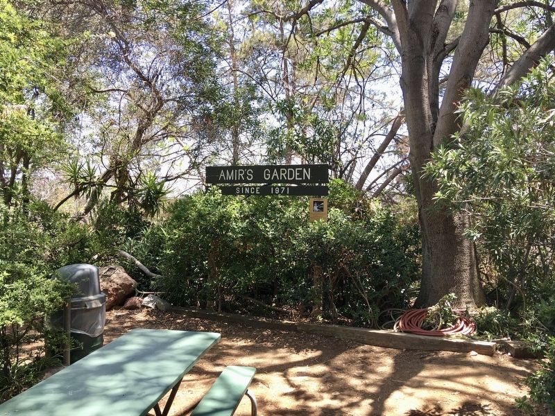
3. Amir’s Garden
Photographed by Craig Baker, June 11, 2021
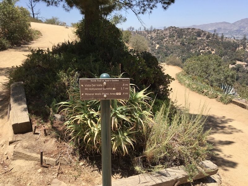
4. Hiking Trail / Fire Road
Credits. This page was last revised on May 16, 2023. It was originally submitted on July 17, 2021, by Craig Baker of Sylmar, California. This page has been viewed 753 times since then and 70 times this year. Photos: 1, 2, 3, 4. submitted on July 17, 2021, by Craig Baker of Sylmar, California.
