Near Starke in Clay County, Florida — The American South (South Atlantic)
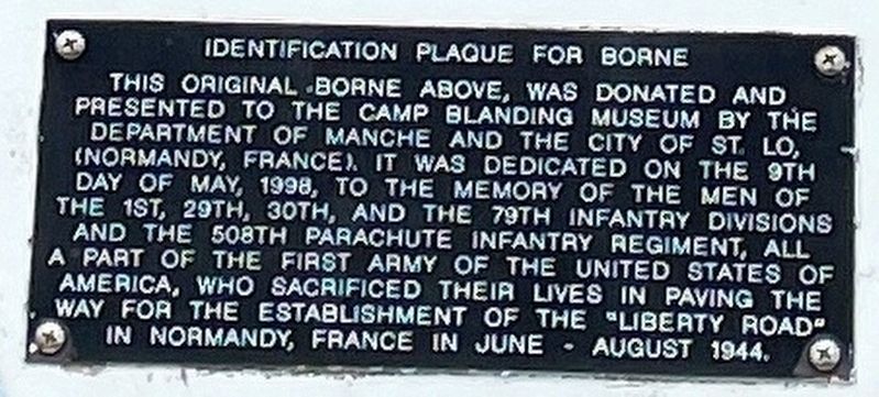
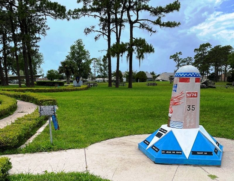
Identification Plaque for Borne
Erected by Camp Blanding Museum & Memorial Park.
Topics. This memorial is listed in these topic lists: Air & Space • Roads & Vehicles • War, World II. A significant historical month for this entry is May 1938.
Location. 29° 58.853′ N, 81° 59.094′ W. Marker is near Starke, Florida, in Clay County. Memorial is at the intersection of Tallahassee Street and Florida Route 16, on the right when traveling south on Tallahassee Street. Touch for map. Marker is at or near this postal address: 5629 Route 16, Starke FL 32091, United States of America. Touch for directions.
Other nearby markers. At least 8 other markers are within walking distance of this marker. Liberty Bourne (here, next to this marker); Truck (within shouting distance of this marker); Medal of Honor (within shouting distance of this marker); Gun, 75 MM, M1897A2 (within shouting distance of this marker); Gun, 3 Inch M5 (within shouting distance of this marker); Truck, 1 ˝-Ton, 4x4 (within shouting distance of this marker); D Day (within shouting distance of this marker); The Military Order of the World Wars (within shouting distance of this marker). Touch for a list and map of all markers in Starke.
Credits. This page was last revised on July 18, 2021. It was originally submitted on July 17, 2021, by Brandon D Cross of Flagler Beach, Florida. This page has been viewed 167 times since then and 25 times this year. Photos: 1, 2. submitted on July 16, 2021, by Brandon D Cross of Flagler Beach, Florida. • Devry Becker Jones was the editor who published this page.

