Kips Bay in Manhattan in New York County, New York — The American Northeast (Mid-Atlantic)
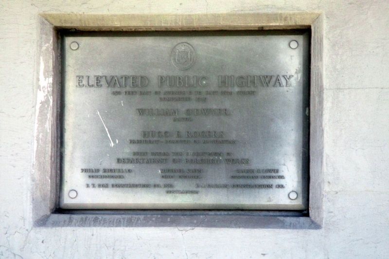
Elevated Public Highway
Completed 1939
William O’Dwyer
Mayor
Hugo E. Rogers
President - Borough of Manhattan
Built under the supervision of
Department of Public Works
Philip Zichello – Michael Klein – Ralph F. Lewis
Commissioner – Chief Engineer – Construction Engineer
P.T. Cox Construction Co. Inc. – P.J. Carlin Construction Co.
Contractors
Erected 1939.
Topics. This historical marker is listed in this topic list: Roads & Vehicles. A significant historical year for this entry is 1939.
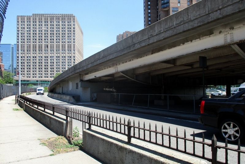
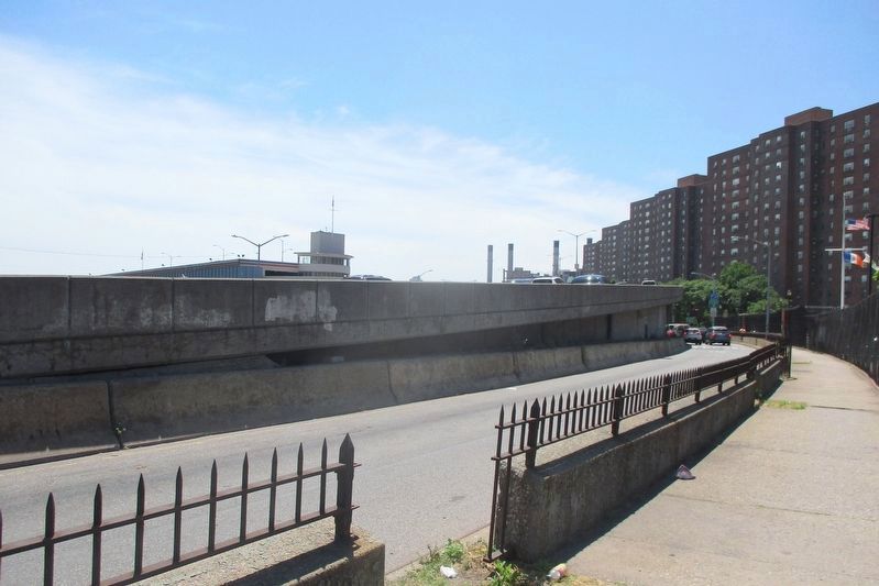
Location. 40° 44.173′ N, 73° 58.508′ W. Marker is in Manhattan, New York, in New York County. It is in Kips Bay. Marker is on FDR Drive exit road/Avenue C north of East 23rd Street, on the left when traveling south. Touch for map. Marker is in this post office area: New York NY 10010, United States of America. Touch for directions.
Other nearby markers. At least 8 other markers are within walking distance of this marker. East 23rd Street Bath House (within shouting distance of this marker); East Side WWI Memorial (about 400 feet away, measured in a direct line); Bristol Basin (about 700 feet away); VA 9/11 Memorial (approx. 0.2 miles away); Bellevue Fountain (approx. 0.2 miles away); Sentinel (approx. ¼ mile away); ACS Children's Center (approx. 0.3 miles away); Site of Rose Hill (approx. 0.3 miles away). Touch for a list and map of all markers in Manhattan.
Regarding Elevated Public Highway. The the time of construction, it was the "East River Drive".
Also see . . . FDR Drive. Wikipedia entry (Submitted on July 18, 2021, by Larry Gertner of New York, New York.)
Credits. This page was last revised on January 31, 2023. It was originally submitted on July 18, 2021, by Larry Gertner of New York, New York. This page has been viewed 113 times since then and 11 times this year. Photos: 1, 2, 3. submitted on July 18, 2021, by Larry Gertner of New York, New York.


