Roxbury in Litchfield County, Connecticut — The American Northeast (New England)
Roxbury
Inscription.
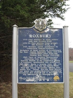
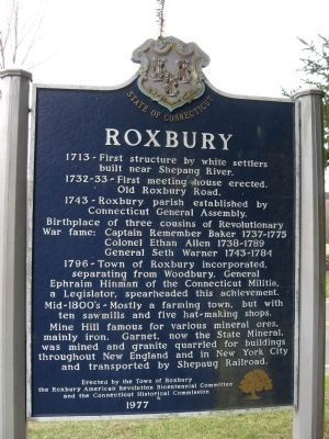
1713 - First structure by white settlers built near Shepaug River.
1732 - 33 – First meeting house erected. Old Roxbury Road.
1743 – Roxbury parish established by Connecticut General Assembly.
Birthplace of three cousins of Revolutionary war fame:
Colonel Ethan Allen 1738 - 1789
General Seth Warner 1743 - 1784
1796 – Town of Roxbury incorporated, separating from Woodbury. General Ephraim Hinman of the Connecticut Militia, a Legislator, spearheaded this achievement.
Mid-18800’s – Mostly a farming town, but with ten sawmills and five hat-making shops.
Mine Hill famous for various mineral ores, mainly iron. Garnet, now the State Mineral, was mined and granite quarried for buildings throughout New England and in New York City and transported by Shepaug Railroad.
Erected by the Town of Roxbury the Roxbury American Revolution Bicentennial Committee and the Connecticut Historical Commission 1977
Erected 1977 by Town of Roxbury, Roxbury American Revolution Bicentennial Committee, Connecticut Historical Commission.
Topics. This historical marker is listed in these topic lists: Colonial Era • Government & Politics • Patriots & Patriotism • Settlements & Settlers. A significant historical year for this entry is 1713.
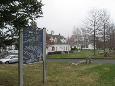
Location. 41° 33.605′ N, 73° 18.616′ W. Marker is in Roxbury, Connecticut, in Litchfield County. Marker is on North Street (Connecticut Route 67) 0.1 miles north of Chalybes Road, on the left when traveling north. Touch for map. Marker is at or near this postal address: 29 North Street, Roxbury CT 06783, United States of America. Touch for directions.
Other nearby markers. At least 8 other markers are within 3 miles of this marker, measured as the crow flies. Cadet Charles K. Hodge (approx. 0.2 miles away); Roxbury Veterans Monument (approx. 0.2 miles away); Col. Seth Warner Monument (approx. ¼ mile away); Roxbury WW II Veterans Marker (approx. 0.3 miles away); The Orzech Family Preserve (approx. 1.2 miles away); Mine Hill Preserve (approx. 1.3 miles away); Wilbur R. Shook (approx. 1.3 miles away); Brian E. Tierney Preserve (approx. 2.3 miles away). Touch for a list and map of all markers in Roxbury.
Credits. This page was last revised on June 16, 2016. It was originally submitted on April 8, 2009, by Michael Herrick of Southbury, Connecticut. This page has been viewed 1,735 times since then and 34 times this year. Photos: 1, 2, 3, 4. submitted on April 8, 2009, by Michael Herrick of Southbury, Connecticut. • Kevin W. was the editor who published this page.


