Near Silverton in San Juan County, Colorado — The American Mountains (Southwest)
Mayflower Mill Tailing Ponds
What are Tailings?
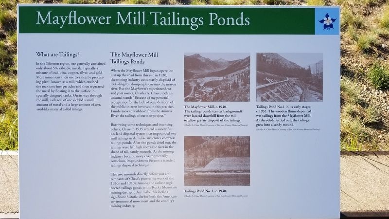
In the Silverton region, ore generally contained. only about 5% valuable metals, typically a mixture of lead, zinc, copper, silver, and gold. Most mines sent their ore to a nearby processing plant, known as a mill, which crushed the rock into fine particles and then separated the metal by floating it to the surface in specially designed tanks. On its way through the mill, each ton of ore yielded a small amount of metal and a large amount of wet, sand-like material called tailings.
The Mayflower Mill Tailings Ponds
When the Mayflower Mill began operation just up the road from this site in 1930, the mining industry customarily disposed of its tailings by dumping them into the nearest river. But the Mayflower's superintendent and part owner, Charles A. Chase, took an unusual stand: "Because of my personal repugnance for the lack of consideration of the public interest involved in this practice, I undertook to withhold from the Animas River the tailings of our new project."
Borrowing some techniques and inventing others, Chase in 1935 created a successful, on-land disposal system that impounded wet mill tailings in dam-like structures known as tailings ponds. After the ponds dried out, the tailings were left high above the river in the shape of tall, sandy mounds. As the mining industry became more environmentally conscious, impoundment became a standard tailings disposal technique.
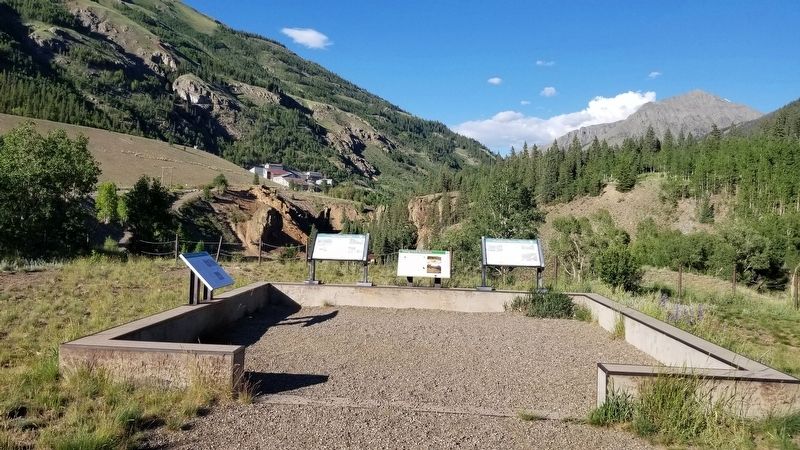
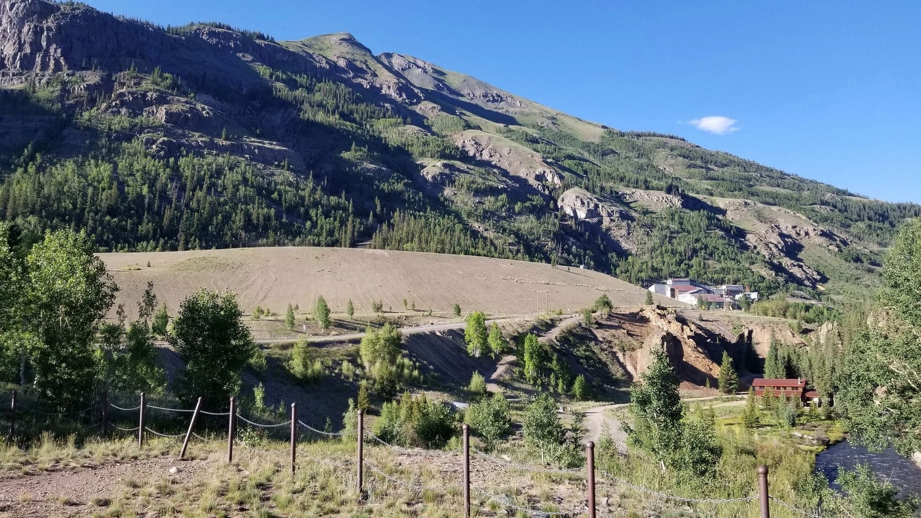
The two mounds directly before you are remnants of Chase's pioneering work of the 1930s and 1940s. Among the earliest engineered tailings ponds in the Rocky Mountain mining districts, they make this locale a significant historic site for both the American environmental movement and the country's mining industry.
Captions
1. The Mayflower Mill, c. 1940. The tailings ponds (center background) were located downhill from the mill to allow gravity disposal of the tailings.
(Charles A. Chase Photo, Courtesy of San Juan County Historical Society)
2. Tailings Pond No. 1, c. 1940.
(Charles A. Chase Photo, Courtesy of San Juan County Historical Society)
3. Tailings Pond No.1 in its early stages, c. 1935. The wooden flume deposited wet tailings from the Mayflower Mill. As the solids settled out, the tailings grew into a sandy mound.
(Charles A. Chase Photo, Courtesy of San Juan County Historical Society)
Erected by San Juan County Historical Society.
Topics. This historical marker is listed in these topic lists: Environment • Industry & Commerce. A significant historical year for this entry is 1930.
Location. 37° 49.441′ N, 107°
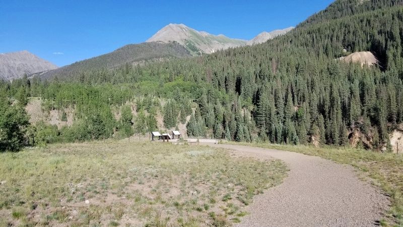
38.081′ W. Marker is near Silverton, Colorado, in San Juan County. Marker is on County Highway 2, 0.4 miles west of County Highway 52, on the right when traveling east. The marker is located next to several other markers at a small parking lot on the south side of the road. Touch for map. Marker is in this post office area: Silverton CO 81433, United States of America. Touch for directions.
Other nearby markers. At least 8 other markers are within 2 miles of this marker, measured as the crow flies. Mayflower Mill (here, next to this marker); Tailings Ponds Reclamation (here, next to this marker); Wealth of Mining History (here, next to this marker); Arrastra Gulch (approx. half a mile away); San Juan County Memorial (approx. 1˝ miles away); Silverton Northern Caboose 1005 (approx. 1.6 miles away); S.R.R. Caboose (approx. 1.6 miles away); San Juan County Historical Society Museum (approx. 1.6 miles away). Touch for a list and map of all markers in Silverton.
Credits. This page was last revised on July 21, 2021. It was originally submitted on July 21, 2021, by James Hulse of Medina, Texas. This page has been viewed 956 times since then and 108 times this year. Photos: 1, 2, 3, 4. submitted on July 21, 2021, by James Hulse of Medina, Texas.


