Northville in Wayne County, Michigan — The American Midwest (Great Lakes)
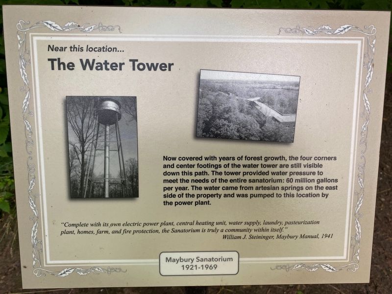
Near this location...The Water Tower
Maybury Sanatorium 1921-1969
"Complete with its own electric power plant, central heating unit, water supply, laundry, pasteurization plant, homes, farm, and fire protection, the Sanatorium is truly a community within itself."
-William J. Steininger, Maybury Manual, 1941
Topics. This historical marker is listed in this topic list: Science & Medicine. A significant historical year for this entry is 1921.
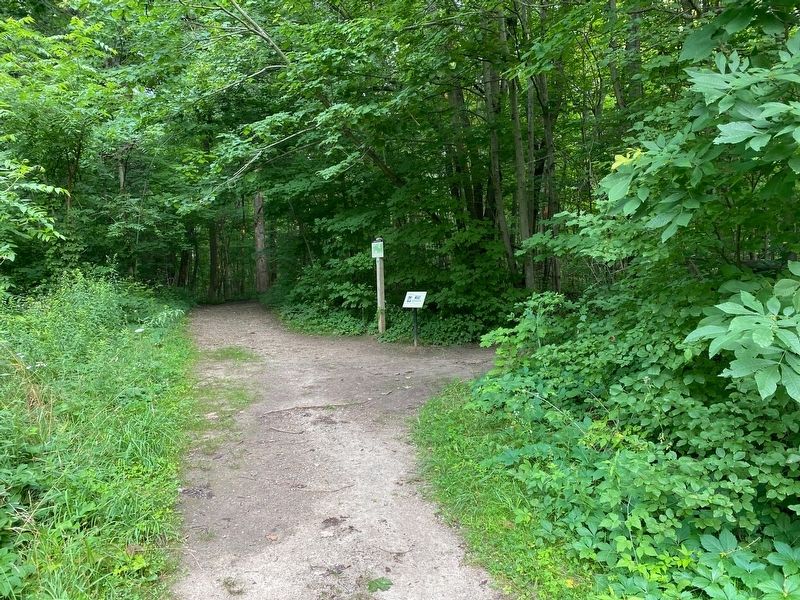
Location. 42° 25.737′ N, 83° 32.378′ W. Marker is in Northville, Michigan, in Wayne County. Marker can be reached from Eight Mile Road. Located on the historic trail of Maybury State Park. Touch for map. Marker is at or near this postal address: 49601 Eight Mile Rd, Northville MI 48167, United States of America. Touch for directions.
Other nearby markers. At least 8 other markers are within walking distance of this marker. Near this location… The Ambulant Building (approx. 0.2 miles away); Near this location… The Vaughan Infirmary (approx. ¼ mile away); Near this location… The Administration Building (approx. ¼ mile away); Near this location… The Doctor's Home (approx. ¼ mile away); Near this location… The Inn and Women's Dormitory (approx. 0.3 miles away); Near this location… The Powerhouse (approx. 0.3 miles away); Near this location… The Nurse's Home (approx. 0.4 miles away); Near this location... The Men's Annex (approx. 0.4 miles away). Touch for a list and map of all markers in Northville.
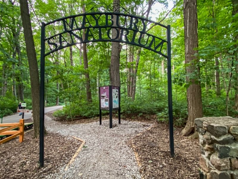
More about this marker. This marker is one of a series on The Maybury Sanatorium which operated on the site of the state park from 1921-1969.
Also see . . . Maybury Sanitorium. Excerpt:
There isn't much left of it these days, aside from a couple scraps of rubble here and there in the woods. The beautiful wooded hills have been preserved for public recreation however, and it may be fondly remembered by most Metro-Detroiters as the one and only place that they ever rode a horse.(Submitted on July 22, 2021, by J.T. Lambrou of New Boston, Michigan.)
Credits. This page was last revised on July 23, 2021. It was originally submitted on July 22, 2021, by J.T. Lambrou of New Boston, Michigan. This page has been viewed 196 times since then and 18 times this year. Photos: 1, 2, 3. submitted on July 22, 2021, by J.T. Lambrou of New Boston, Michigan. • Mark Hilton was the editor who published this page.


