Cleburne in Johnson County, Texas — The American South (West South Central)
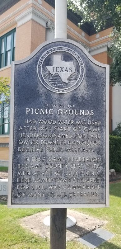
Site of Old Picnic Grounds
Had wood, water. Was used after 1854 start of Camp Henderson (named for land owner-townsite donor) for decisive public meetings. In 1867 Camp Henderson became county seat. Then men at 4th of July picnic here named town "Cleburne" for Civil War commander of many local veterans.
Erected 1966 by State Historical Survey Committee. (Marker Number 4857.)
Topics. This historical marker is listed in these topic lists: Parks & Recreational Areas • War, US Civil. A significant historical year for this entry is 1854.
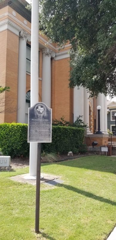
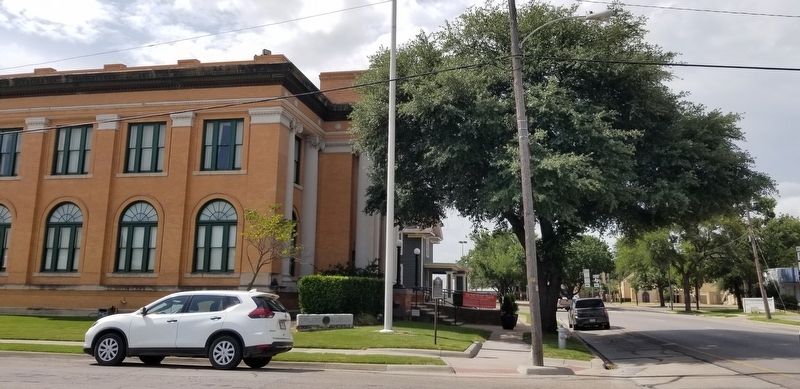
Location. 32° 20.91′ N, 97° 23.177′ W. Marker is in Cleburne, Texas, in Johnson County. Marker is at the intersection of North Caddo Street (State Highway 171) and East Wardville Street, on the left when traveling north on North Caddo Street. The marker is located on the southeast corner of the intersection. Touch for map. Marker is at or near this postal address: 201 North Caddo Street, Cleburne TX 76033, United States of America. Touch for directions.
Other nearby markers. At least 8 other markers are within walking distance of this marker. Carnegie Library / Layland Museum (a few steps from this marker); Carnegie Library Building (a few steps from this marker); Colonel Middleton T. Johnson (about 400 feet away, measured in a direct line); General Patrick R. Cleburne (about 400 feet away); The 36th Division - Texas National Guard (about 400 feet away); Johnson County War Memorial (about 400 feet away); Desert Storm Memorial (about 400 feet away); Ensign Howard D. Crow (about 400 feet away). Touch for a list and map of all markers in Cleburne.
Credits. This page was last revised on July 22, 2021. It was originally submitted on July 22, 2021, by James Hulse of Medina, Texas. This page has been viewed 119 times since then and 13 times this year. Photos: 1, 2, 3. submitted on July 22, 2021, by James Hulse of Medina, Texas.


