Arthurdale in Preston County, West Virginia — The American South (Appalachia)
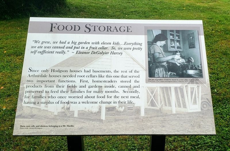
Food Storage
"We grew, we had a big garden with eleven kids…Everything we ate was canned and put in a fruit cellar. So, we were pretty self-sufficient really.” - Eleanor DeGolyier Harvey
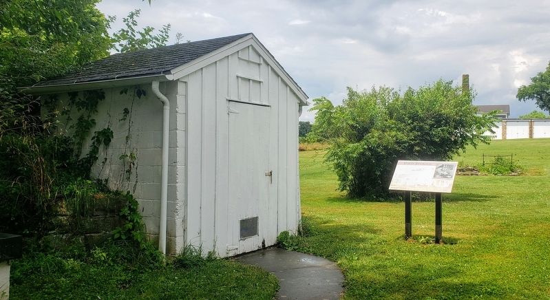
Since only Hodgson houses had basements, the rest of the Arthurdale houses needed root cellars like this one that served two important functions. First, homesteaders stored the products from their fields and gardens inside, canned and preserved to feed their families for many months. Secondly, for families who once worried about food for the next meal, having a surplus of food was a welcome change in their life.
[Captions:]
The jars of produce would be stored in a root cellar until needed.
Barn, corn crib, and chickens belonging to a Mr. Hardin.
Erected 2014 by West Virginia University.
Topics. This historical marker is listed in these topic lists: Agriculture • Settlements & Settlers.
Location. 39° 29.638′ N, 79° 48.993′ W. Marker is in Arthurdale, West Virginia, in Preston County. Marker can be reached from Q Road, 0.2 miles south of North Mountaineer Highway (West Virginia Route 92), on the right when traveling south. The marker stands in the rear of the house at this location. Touch for map. Marker is at or near this postal address: 112 Q Rd, Arthurdale WV 26520, United States of America. Touch for directions.
Other nearby markers. At least 8 other markers are within walking distance of this marker. Wagner And Stone Houses (a few steps from this marker); History of the Houses (about 400 feet away, measured in a direct line); Arthurdale (about 400 feet away); The Community Center (about 400 feet away); Honor Roll (about 400 feet away); The Great Hall (about 500 feet away); Community At Arthurdale (about 500 feet away); Administration Building (about 600 feet away). Touch for a list and map of all markers in Arthurdale.
Credits. This page was last revised on July 24, 2021. It was originally submitted on July 23, 2021, by Bradley Owen of Morgantown, West Virginia. This page has been viewed 103 times since then and 5 times this year. Photos: 1, 2. submitted on July 23, 2021, by Bradley Owen of Morgantown, West Virginia. • Devry Becker Jones was the editor who published this page.

