
Near Edgar in Caroline County, Virginia — The American South (Mid-Atlantic)
Caroline County
⎯⎯⎯
King William County
Photographed by Bernard Fisher, April 9, 2009
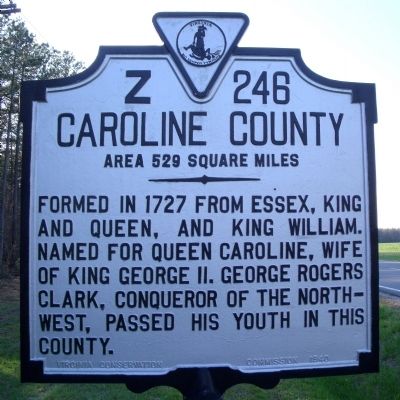
1. Caroline County Marker (obverse)
Caroline County. Area 529 Square Miles. Formed in 1727 from Essex, King and Queen, and King William. Named for Queen Caroline, wife of King George II. George Rogers Clark, conqueror of the Northwest, passed his youth in this county.
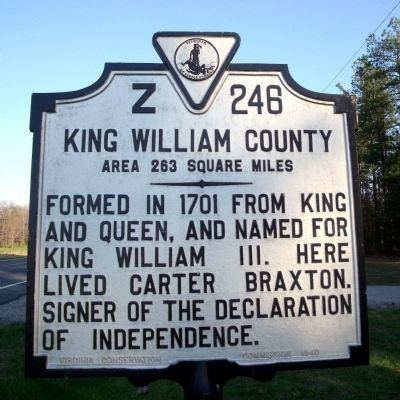
King William County. Area 263 Square Miles. Formed in 1701 from King and Queen, and named for King William III. Here lived Carter Braxton, signer of the Declaration of Independence.
Erected 1940 by Virginia Conservation Commission. (Marker Number Z-246.)
Topics and series. This historical marker is listed in these topic lists: War, US Revolutionary • Women. In addition, it is included in the Signers of the Declaration of Independence, and the Virginia Department of Historic Resources (DHR) series lists. A significant historical year for this entry is 1727.
Location. 37° 49.018′ N, 77° 18.981′ W. Marker is near Edgar, Virginia, in Caroline County. It is on Dawn Boulevard (Virginia Route 30) 0.8 miles west of Calno Road, on the right when traveling east. Touch for map. Marker is in this post office area: Hanover VA 23069, United States of America. Touch for directions.

Regionally,
this page online
Other nearby markers. At least 8 other markers are within 5 miles of this marker, measured as the crow flies: Mangohick Church (approx. 2.4 miles away); Gabriel’s Rebellion (approx. 3.4 miles away); Caroline County / Hanover County (approx. 3½ miles away); Patrick Henry (approx. 4.6 miles away); Hanover Courthouse (approx. 4.6 miles away); a different marker also named Hanover Courthouse (approx. 4.6 miles away); Hanover Confederate Soldiers Monument (approx. 4.6 miles away); The Fields Family (approx. 4.7 miles away).
Also see . . .
1. The Official Site of Caroline County, Virginia. (Submitted on March 30, 2010, by Bernard Fisher of Richmond, Virginia.)
2. King William County, Virginia.
Photographed by Bernard Fisher, April 9, 2009
2. King William County Marker (reverse)
Photographed by Bernard Fisher, April 9, 2009
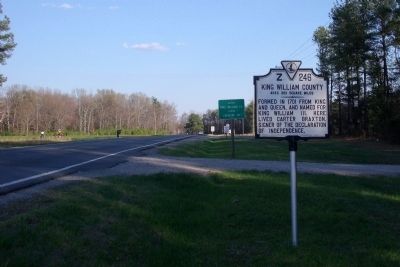
3. County Line (facing east)
Credits. This page was last revised on July 3, 2021. It was originally submitted on April 10, 2009, by Bernard Fisher of Richmond, Virginia. This page has been viewed 1,258 times since then and 45 times this year. Photos: 1, 2, 3. submitted on April 10, 2009, by Bernard Fisher of Richmond, Virginia.
