Etowah in McMinn County, Tennessee — The American South (East South Central)
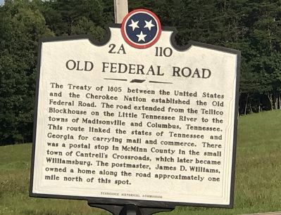
Old Federal Road
Erected by Tennessee Historical Commission. (Marker Number 2A 110.)
Topics and series. This historical marker is listed in these topic lists: Communications • Native Americans • Roads & Vehicles. In addition, it is included in the Tennessee Historical Commission series list. A significant historical year for this entry is 1805.
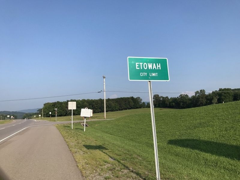
Location. 35° 20.46′ N, 84° 32.25′ W. Marker is in Etowah, Tennessee, in McMinn County. Marker is at the intersection of David W. Lillard Memorial Highway (Tennessee Route 30) and Robinson Street, on the right when traveling east on David W. Lillard Memorial Highway. Touch for map. Marker is in this post office area: Etowah TN 37331, United States of America. Touch for directions.
Other nearby markers. At least 8 other markers are within 4 miles of this marker, measured as the crow flies. Revolutionary Soldiers (approx. 1.3 miles away); World War I Memorial (approx. 1.4 miles away); Company "A" 278th Inf R.C.T. (approx. 1.4 miles away); Etowah World War II Memorial (approx. 1.4 miles away); The Louisville and Nashville Railroad (approx. 1.4 miles away); Etowah (approx. 1.4 miles away); Bethsalem Presbyterian Church (approx. 3.9 miles away); The Tennessee Overhill Experience (approx. 3.9 miles away). Touch for a list and map of all markers in Etowah.
Credits. This page was last revised on July 26, 2021. It was originally submitted on July 26, 2021, by Duane and Tracy Marsteller of Murfreesboro, Tennessee. This page has been viewed 407 times since then and 50 times this year. Photos: 1, 2. submitted on July 26, 2021, by Duane and Tracy Marsteller of Murfreesboro, Tennessee.

