Near Pick City in Mercer County, North Dakota — The American Midwest (Upper Plains)
Powerhouse
Photographed by Connor Olson, July 25, 2021
1. Powerhouse Marker
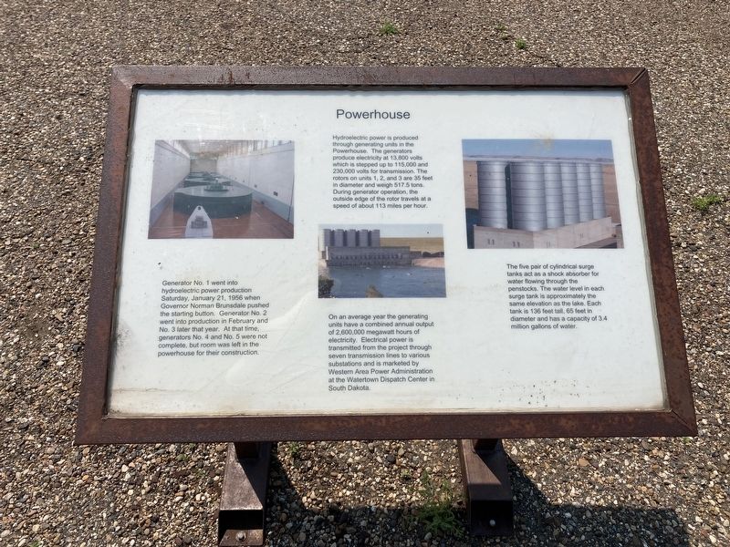
Generator No. 1 went into hydroelectric power production Saturday, January 21, 1956 when Governor Norman Brunsdale pushed the starting button. Generator No. 2 went into production in February and No. 3 later that year. At that time, generators No. 4 and No. 5 were not complete, but room was left in the powerhouse for their construction.
On an average year the generating units have a combined annual output of 2,600,000 megawatt hours of electricity. Electrical power is transmitted from the project through seven transmission lines to various substations and is marketed by Western Area Power Administration at the Watertown Dispatch Center in South Dakota.
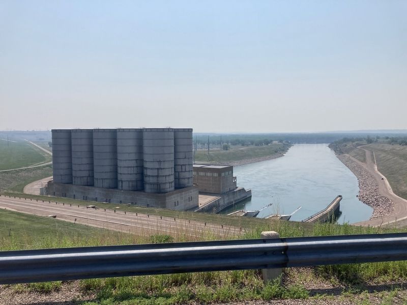
The five pair of cylindrical surge tanks act as a shock absorber for water
this page online
Topics. This historical marker is listed in these topic lists: Industry & Commerce • Waterways & Vessels. A significant historical date for this entry is January 21, 1956.
Location. 47° 30.273′ N, 101° 26.059′ W. Marker is near Pick City, North Dakota, in Mercer County. It is on North Dakota Route 200 east of Park Avenue, on the right when traveling east. Touch for map. Marker is in this post office area: Hazen ND 58545, United States of America. Touch for directions.

Regionally, this marker is in the Mandan, Hidatsa, and Arikara Nation, in the Standing Rock Sioux Tribe, and on the Missouri Plateau. It is also in the American Lewis & Clark Corridor, on the prairies, and on the Northern Plains. Globally, it is in North America, the Western Hemisphere, the Western World, and the Anglosphere. Historically, it finds itself in what was once Rupert’s Land and also the Louisiana Purchase.
Other nearby markers. At least
Photographed by Connor Olson, July 25, 2021
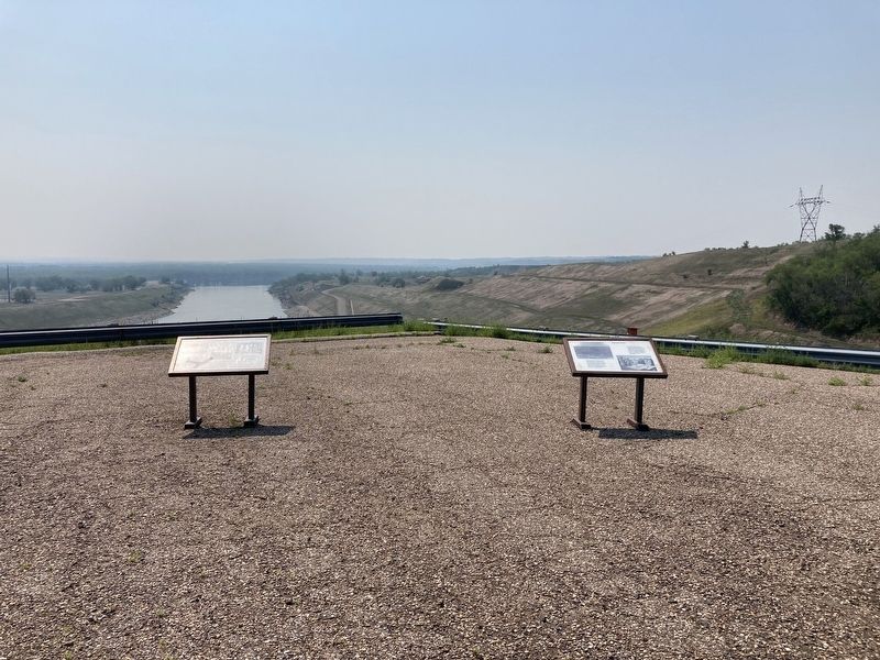
2. Powerhouse Marker can be seen to the left
Photographed by Connor Olson, July 25, 2021
3. Powerhouse Marker
Credits. This page was last revised on July 26, 2021. It was originally submitted on July 26, 2021, by Connor Olson of Menomonee Falls, Wisconsin. This page has been viewed 235 times since then and 11 times this year. Photos: 1, 2, 3. submitted on July 26, 2021, by Connor Olson of Menomonee Falls, Wisconsin. • Mark Hilton was the editor who published this page.
