Near Benton in Polk County, Tennessee — The American South (East South Central)
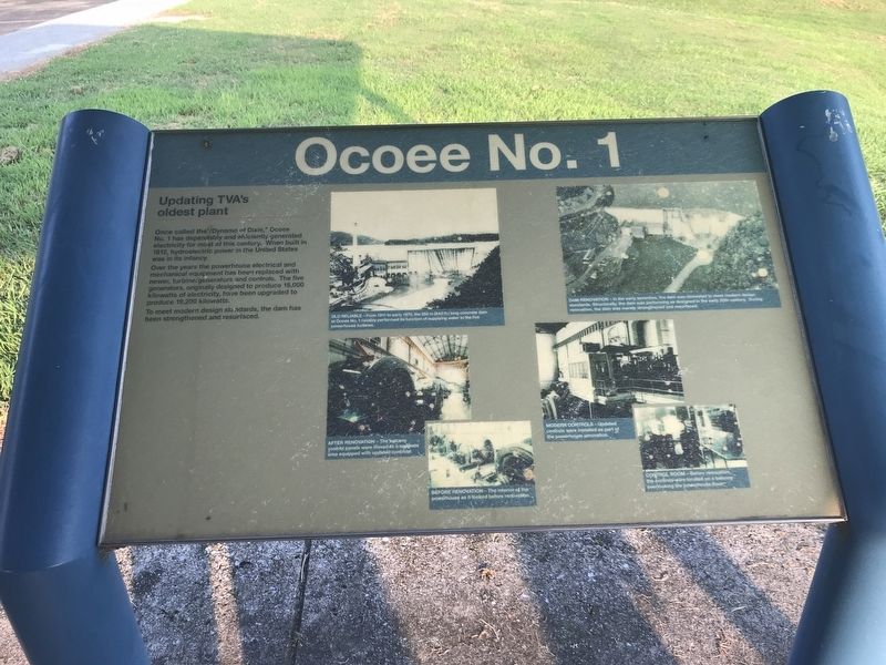
Ocoee No. 1
Updating TVA's oldest plant
Once called the “Dynamo of Dixie,” Ocoee No. 1 has dependably and efficiently generated electricity for most of this century. When built in 1912, hydroelectric power in the United States was in its infancy.
Over the years the powerhouse electrical and mechanical equipment has been replaced with newer, turbine/generators and controls. The five generators, originally designed to produce 18,000 kilowatts of electricity, have been upgraded to produce 19,200 kilowatts.
To meet modern design standards, the dam has been strengthened and resurfaced.
Captions (clockwise from top left):
Old reliable From 1911 to early 1970, the 256 m (840 ft.) long concrete dam at Ocoee No. 1 reliably performed its function of supplying water to the five powerhouse turbines.
Dam renovation In the early seventies, the dam was renovated to meet modern design standards. Structurally, the dam was performing as designed in the early 20th century. During renovation, the dam was merely strengthened and resurfaced.
Modern controls Updated controls were installed as part of the powerhouse renovation.
Control room Before renovation, the controls were located on a balcony overlooking the powerhouse floor.
Before renovation The interior of the powerhouse as it looked before renovation.
After renovation The balcony control panels were moved to a separate area equipped with updated controls.
Topics. This historical marker is listed in these topic lists: Man-Made Features • Waterways & Vessels. A significant historical year for this entry is 1970.
Location. 35° 5.805′ N, 84° 39.103′ W. Marker is near Benton, Tennessee, in Polk County. Marker can be reached from U.S. 64, on the right when traveling east. Marker is in Sugarloaf Mountain Park on the dam's southern side. Touch for map. Marker is at or near this postal address: 2144 US-64, Benton TN 37307, United States of America. Touch for directions.
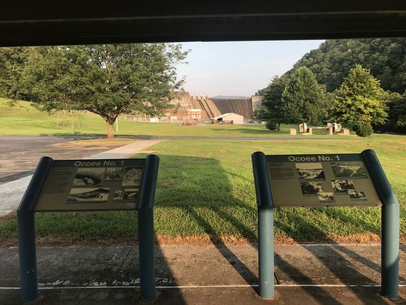
Other nearby markers. At least 8 other markers are within 6 miles of this marker, measured as the crow flies. A different marker also named Ocoee No. 1 (here, next to this marker); Ocoee Dam #1 (about 300 feet away, measured in a direct line); The Halfway House (approx. 4.6 miles away); Nancy Ward (approx. 4.9 miles away); a different marker also named Nancy Ward (approx. 4.9 miles away); Polk County World Wars Memorial (approx. 5.3 miles away); Polk County Veterans Monument (approx. 5.3 miles away); Polk County Confederate Monument (approx. 5.3 miles away). Touch for a list and map of all markers in Benton.
Also see . . . Hydro Hall of Fame: Ocoee Dam No. 1: A Legacy of Progress. By Bill Sitton in Hydro Review, September 1, 2012. (Submitted on July 26, 2021, by Duane and Tracy Marsteller of Murfreesboro, Tennessee.)
Credits. This page was last revised on January 8, 2022. It was originally submitted on July 26, 2021, by Duane and Tracy Marsteller of Murfreesboro, Tennessee. This page has been viewed 102 times since then and 16 times this year. Photos: 1, 2. submitted on July 26, 2021, by Duane and Tracy Marsteller of Murfreesboro, Tennessee.

