Midtown - Downtown on Blennerhassett Island in Wood County, West Virginia — The American South (Appalachia)
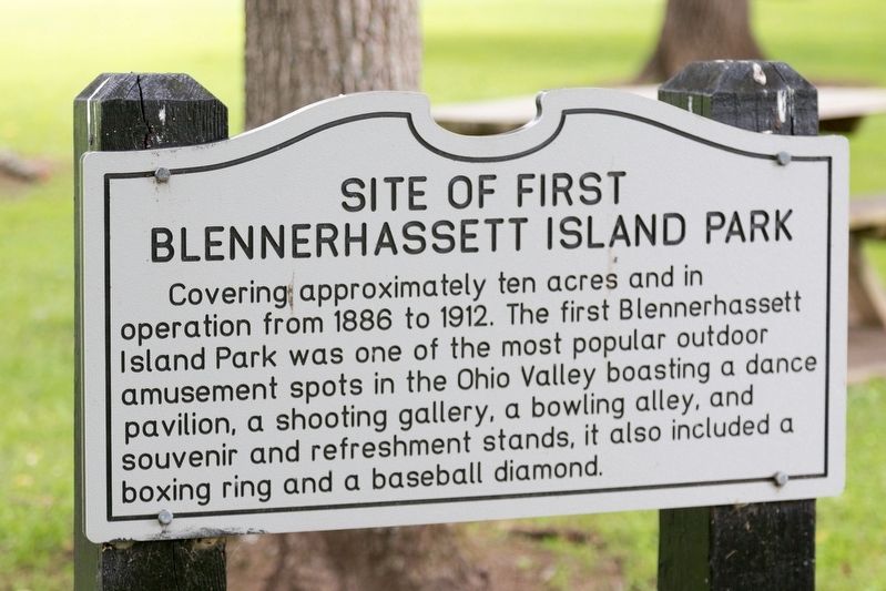
Site of First Blennerhassett Island Park
| — | Blennerhassett Island Historical State Park | — |
Photographed by J. J. Prats, July 11, 2021
1. Site of First Blennerhassett Island Park Marker
Erected by Blennerhassett Island Historical State Park.
Topics. This historical marker is listed in this topic list: Parks & Recreational Areas. A significant historical year for this entry is 1886.
Location. 39° 16.318′ N, 81° 35.973′ W. Marker is on Blennerhassett Island, West Virginia, in Wood County. It is in Midtown - Downtown. It is on no nearby street. Marker can be reached by sternwheeler riverboat passenger ferry ($12 round trip) from Point Park on 2nd Street in Parkersburg between May 1st and early October. Ferry departs on the hour from 10 AM to 5 PM. Last ferry departs the island at 5:30 PM. Blennerhassett Island Historical State Park is closed Mondays (except Memorial Day and Labor Day), Tuesdays in September and October, and for the winter after the last weekend in October until
this page online

Regionally, this marker is in the Mid-Ohio Valley. It is also in the American South, specifically in the Upper South, in the Ohio River Valley, in Appalachia, and specifically in Northern Appalachia. Globally, it is in North America, the Western Hemisphere, the Western World, and the Anglosphere. Historically, it finds itself in what was once the Viceroyalty of New France and also the territory of the Mississippian Culture.
Other nearby markers. At least 8 other markers are within walking distance of this marker: Blennerhassett’s Cove (about 300 feet away, measured in a direct line); Pleasure Garden (about 300 feet away); Paling Fence (about 300 feet away); Blennerhassett Island (about 400 feet away); Black Walnut Tree Plantation (about 400 feet away); Flower Bed (about 400 feet away); Blennerhassett’s Well (about 400 feet away); Blennerhassett Wash House (about 400 feet away). Touch for a list and map
Photographed by J. J. Prats, July 11, 2021
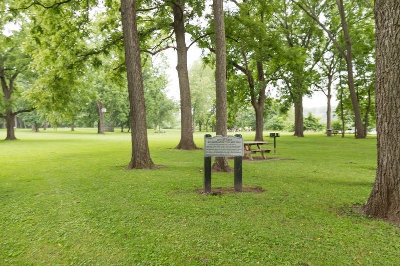
2. Site of First Blennerhassett Island Park Marker
Credits. This page was last revised on July 27, 2021. It was originally submitted on July 27, 2021, by J. J. Prats of Powell, Ohio. This page has been viewed 451 times since then and 28 times this year. Photos: 1, 2. submitted on July 27, 2021, by J. J. Prats of Powell, Ohio.
