Magnolia Avenue History
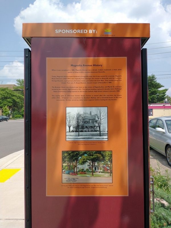
When it was completed in 1888, Magnolia Avenue was a broad, modern boulevard, a clean, quiet option to living in dirty, crowded downtown Knoxville.
Today, Magnolia Avenue hosts hundreds of magnolia trees, but it was named for a woman. Magnolia Bryan Branner (1829-1907) was originally from Georgia, but moved to Knoxville with her husband, George Branner, a prosperous plantation owner, just before the Civil War. They settled along First Creek. Their son, H. Bryan Branner, became mayor of Knoxville in 1880.
The Branner House was situated near here on the corner of Magnolia Ave. and Myrtle St. and later served as the Catholic High School in 1921. The current building replaced it decades later. Pellissippi State Community College opened on the former Catholic High School campus in January, 2000.
The nearby John T. O’Connor Center Senior Center is named after the one-time city mayor (1931-1935). O’Connor was a machinist for Southern Railway and a renowned boxer in the Irish community. He later served as a labor union organizer before running for city election.
[Captions:]
Catholic High School based in the former Branner House, 1930s. (McClung Historical Collection.)
During the 1930s, near here at 1520 Magnolia Ave. the “Blue Star Tourist Home” catered for visitors travelling through Knoxville.
(Digitalcommonwealth.org)Erected by Knoxville History Project.
Topics and series. This historical marker is listed in these topic lists: Agriculture • Roads & Vehicles • Settlements & Settlers. In addition, it is included in the Knoxville History Project - Downtown Art Wraps series list. A significant historical month for this entry is January 2000.
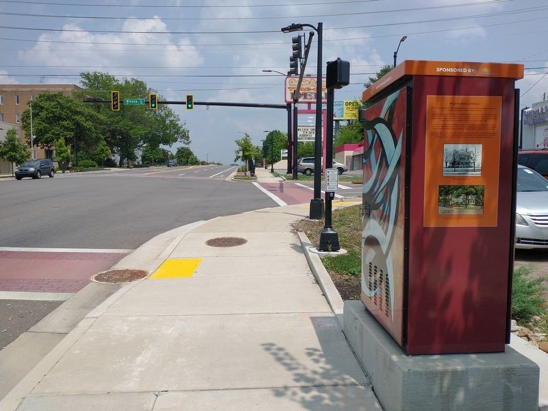
Location. 35° 58.673′ N, 83° 54.606′ W. Marker is in Knoxville, Tennessee, in Knox County. Marker is at the intersection of East Magnolia Avenue (U.S. 70) and Winona Street, on the left when traveling west on East Magnolia Avenue. Touch for map. Marker is at or near this postal address: 1420 E Magnolia Ave, Knoxville TN 37917, United States of America. Touch for directions.
Other nearby markers. At least 8 other markers are within walking distance of this marker. Ruth Cobb Brice (here, next to this marker); Beauford Delaney (about 600 feet away, measured in a direct line); a different marker also named Magnolia Avenue History (about 700 feet away); a different marker also named Ruth Cobb Brice (approx. ¼ mile away); a different marker also named Magnolia Avenue History (approx. ¼ mile away); Knoxville (approx. 0.3 miles away); Charles Griffin Farr (approx. 0.4 miles away); a different marker also named Magnolia Avenue History (approx. 0.4 miles away). Touch for a list and map of all markers in Knoxville.
Credits. This page was last revised on July 28, 2021. It was originally submitted on July 27, 2021, by Tom Bosse of Jefferson City, Tennessee. This page has been viewed 242 times since then and 21 times this year. Photos: 1, 2. submitted on July 27, 2021, by Tom Bosse of Jefferson City, Tennessee. • Devry Becker Jones was the editor who published this page.

