Near Milton in Cabell County, West Virginia — The American South (Appalachia)
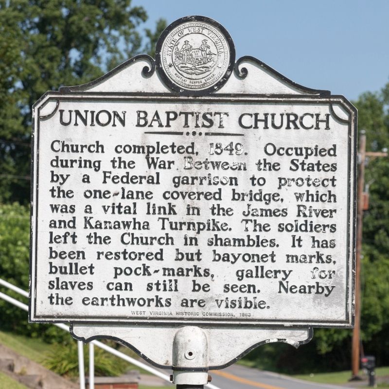
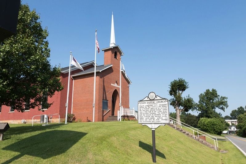
Union Baptist Church
Erected 1963 by West Virginia Historic Commission.
Topics and series. This historical marker is listed in these topic lists: Churches & Religion • War, US Civil. In addition, it is included in the West Virginia Archives and History series list. A significant historical year for this entry is 1849.
Location. 38° 25.37′ N, 82° 7.078′ W. Marker is near Milton, West Virginia, in Cabell County. Marker is on James River Turnpike Road (County Route 25) 1.6 miles Midland Trail (U.S. 60), on the right when traveling east. Touch for map. Marker is at or near this postal address: 1299 James River Turnpike Rd, Milton WV 25541, United States of America. Touch for directions.
Other nearby markers. At least 8 other markers are within 10 miles of this marker, measured as the crow flies. Mud River Covered Bridge (approx. 0.9 miles away); Harshbarger Corner (approx. 1.1 miles away); Hurricane Baptist Church / Hurricane Bridge Skirmish (approx. 5.4 miles away); The Bryan Family (approx. 6 miles away); West Virginia Pollinators (approx. 6.7 miles away); Lincoln County / Putnam County (approx. 7.2 miles away); Salt Rock (approx. 8˝ miles away); Woody Williams Bridge (approx. 9.4 miles away). Touch for a list and map of all markers in Milton.
Credits. This page was last revised on July 29, 2021. It was originally submitted on July 29, 2021, by J. J. Prats of Powell, Ohio. This page has been viewed 214 times since then and 21 times this year. Photos: 1, 2. submitted on July 29, 2021, by J. J. Prats of Powell, Ohio.

