Hamlin in Lincoln County, West Virginia — The American South (Appalachia)
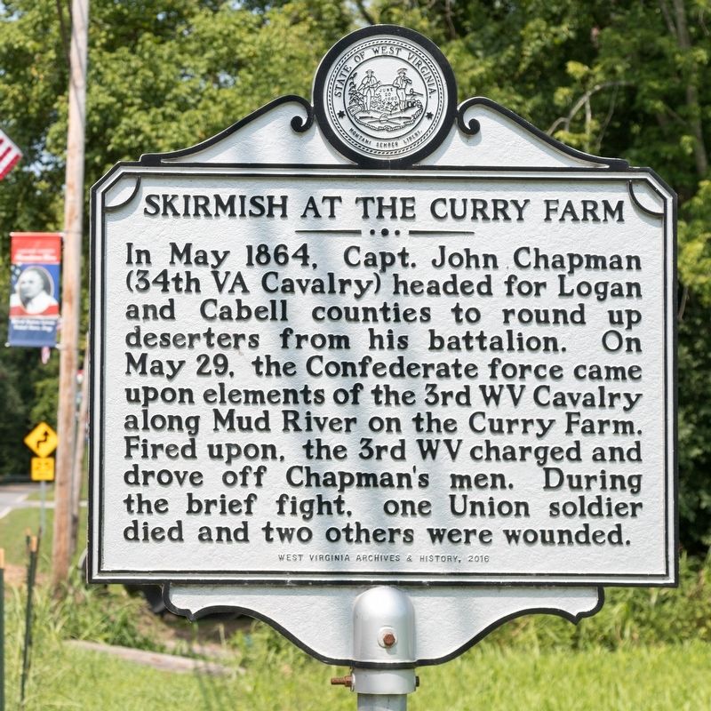
Skirmish at the Curry Farm
In May 1864, Capt. John Chapman (34th VA Cavalry) headed for Logan and Cabell counties to round up deserters from his battalion. On May 29, the Confederate force came upon elements of the 3rd WV Cavalry along Mud River on the Curry Farm. Fired upon, the 3rd WV charged and drove off Chapman's men. During the brief fight, one Union soldier died and two others were wounded.
Erected 2016 by West Virginia Archives & History.
Topics and series. This historical marker is listed in this topic list: War, US Civil. In addition, it is included in the West Virginia Archives and History series list. A significant historical date for this entry is May 29, 1864.
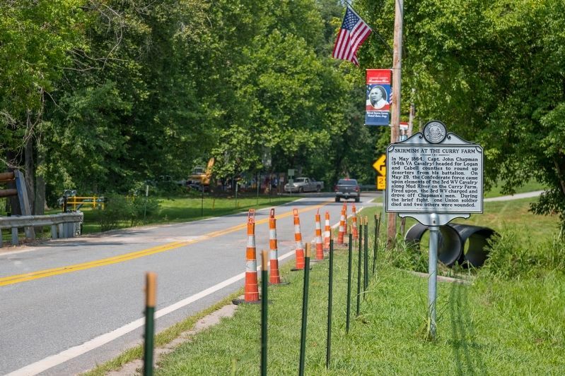
Location. 38° 16.711′ N, 82° 6.551′ W. Marker is in Hamlin, West Virginia, in Lincoln County. Marker is at the intersection of Lynn Avenue (West Virginia Route 3) and State Street, on the right when traveling west on Lynn Avenue. Just west of the Lions Club Field. Touch for map. Marker is in this post office area: Hamlin WV 25523, United States of America. Touch for directions.
Other nearby markers. At least 8 other markers are within 11 miles of this marker, measured as the crow flies. Hamlin (about 300 feet away, measured in a direct line); Brigadier General Charles E. "Chuck" Yeager (approx. 0.4 miles away); Lincoln County Primary Care Center, Inc. (approx. 0.7 miles away); Lincoln County / Putnam County (approx. 5.4 miles away); John L. Chapman Family Cemetery (approx. 6.2 miles away); Salt Rock (approx. 8.4 miles away); Union Baptist Church (approx. 10 miles away); Mud River Covered Bridge (approx. 10.4 miles away). Touch for a list and map of all markers in Hamlin.
Credits. This page was last revised on January 21, 2022. It was originally submitted on July 30, 2021, by J. J. Prats of Powell, Ohio. This page has been viewed 464 times since then and 49 times this year. Photos: 1, 2. submitted on July 30, 2021, by J. J. Prats of Powell, Ohio.

