New Madrid in New Madrid County, Missouri — The American Midwest (Upper Plains)
Water Route to Indian Territory
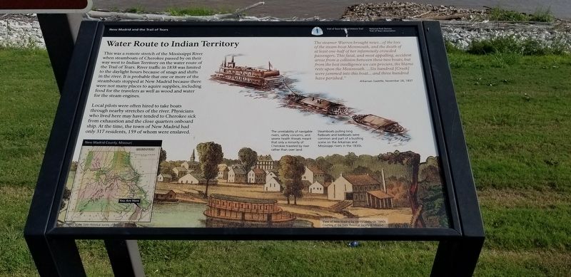
This was a remote stretch of the Mississippi River when steamboats of Cherokee passed by on their way west to Indian Territory on the water route of the Trail of Tears. River traffic in 1838 was limited to the daylight hours because of snags and shifts in the river. It is probable that one or more of the steamboats stopped at New Madrid because there were not many places to acquire supplies, including food for the travelers as well as wood and water for the steam engines.
Local pilots were often hired to take boats through nearby stretches of the river. Physicians who lived here may have tended to Cherokee sick from exhaustion and the close quarters onboard ship. At the time, the town of New Madrid had only 317 residents, 159 of whom were enslaved.
The unreliability of navigable rivers, safety concerns, and severe health threats meant that only a minority of Cherokee traveled by river rather than over land.
Steamboats pulling long flatboats and keelboats were common and part of a bustling scene on the Arkansas and Mississippi rivers in the 1830s.
The steamer Warren brought news...of the loss of the steam-boat Monmouth, and the death of at least one-half of her infamously crowded passengers. This fatal, and most appalling, accident arose from a collision between these two boats; but from the best intelligence we can procure, the blame rests upon the Monmouth. ...Six hundred [Creek] were jammed into this boat... and three hundred have perished."
Arkansas Gazette, November 28, 1837
Erected by New Madrid and the Trail of Tears, National Park Service, Trail of Tears Association.
Topics and series. This historical marker is listed in these topic lists: Civil Rights • Native Americans. In addition, it is included in the Trail of Tears series list.
Location. 36° 35.009′ N, 89° 31.731′ W. Marker is in New Madrid, Missouri, in New Madrid County. Marker is on Levee Road near Church Street when traveling south. Touch for map. Marker is in this post office area: New Madrid MO 63869, United States of America. Touch for directions.
Other nearby markers. At least 8 other markers are within walking distance of this marker. They Passed This Way (here, next to this marker); New Madrid (about 600 feet away, measured in a direct line); Fort Bankhead (about 600 feet away); Bissell's Submergible Saw (about 600 feet away); New Madrid & Island No. Ten (about 600 feet away); Battle of Island No. 10 (about 600 feet away); Higgerson School (approx. 0.2 miles away); The King's Road (approx. 0.2 miles away). Touch for a list and map of all markers in New Madrid.
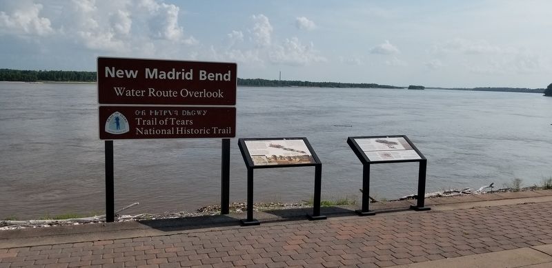
More about this marker. Located atop the levee, at the terminus of Church Street.
Credits. This page was last revised on July 30, 2021. It was originally submitted on July 30, 2021, by Cajun Scrambler of Assumption, Louisiana. This page has been viewed 206 times since then and 45 times this year. Photos: 1, 2. submitted on July 30, 2021, by Cajun Scrambler of Assumption, Louisiana.

